About Hveragerdi Hot Spring River Trail
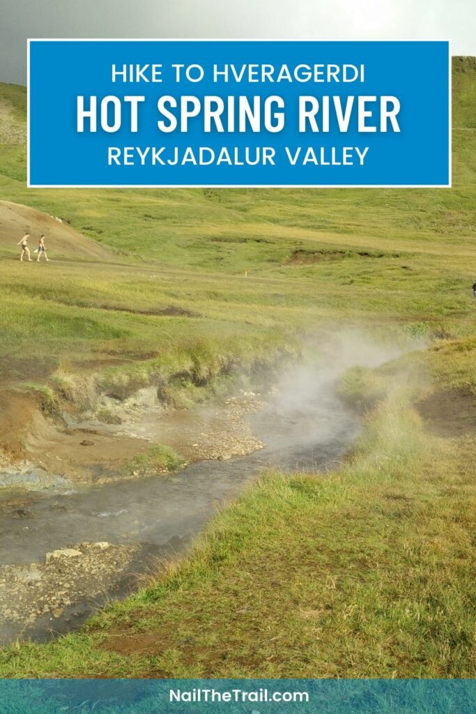
The Hveragerdi hot spring river trail is one of the most visited hiking trails in Iceland. The trail leads from the town of Hveragerdi to a geothermal river where you can bathe in warm water while admiring the astonishing Icelandic landscape. Hveragerdi is relatively close to Reykjavik and therefore easy to reach for those who are staying in the northernmost capital of the world. The official trail starts approximately 4 kilometers northwest from the center of Hveragerdi .
If you are travelling by public transport (like I did) you will first have to walk from the town center to the starting point of the official trail. If you are travelling by car, you can drive directly to the starting point.
As I wanted to execute a proper hike, I extended the trip and also climbed a small unnamed mountain behind the geothermal river before returning back to the starting point.
I executed this hike as a part of my “Hiking Iceland” adventure.
Hveragerdi Hot Spring River Hiking Trail Details
Physical Difficulty
Easy
Technical Difficulty
Easy
Duration
4 h 7 min
Distance
16.9 km
(10.5 mi.)
Ascent
479 m
(1572 ft.)
Descent
479 m
(1572 ft.)
Highest Point
401 m
(1316 ft.)
Lowest Point
39 m
(128 ft.)
Date of the Hike Date when we did this hike ?
September 2015
Weather On the day when we did this hike ?
Cloudy
Temperature On the day when we did this hike ?
11° C
(52° F)
Wind On the day when we did this hike ?
13 km/h
Hveragerdi Hot Spring River Hike GPS Route and Trail Description
*Click on the chart to see the location on the map
GPX route helps you with the navigation on a hike. It can be used with a smartphone, handheld GPS device or a GPS watch.About GPX Route
Reaching the starting point
Hveragerdi can be easily and inexpensively reached from Reykjavik by public transport, and therefore this trail is on our list of the 5 Best Hiking Trails in Iceland Reachable by Public Transport. From Reykjavik you will need a 3-zone ticket, which costs 1470 ISK (9.5 €, 11.5 $). First take bus number 12 from the Hlemmur main bus station in city centre to Mjodd. If you are not planning to leave from Hlemmur, check the Straeto website to find other buses that drive to Mjodd. The bus drive will take you approximately 20 minutes. At the Mjodd bus stop, take bus number 51 towards Hofn but get off the bus at the Hveragerdi bus stop. This drive will take around 35 minutes. The Hveragerdi bus stop is located in the center of the town and there is a Shell gas station with a store nearby – just in case you want to buy something for the hike. The above attached GPS route starts here.
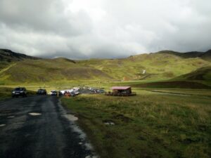
If you are going by car, you can drive directly to the starting point of the official trail. When you arrive to Hveragerdi take the northern exit in the roundabout and continue on the main road. Soon you will see a golf course on your right. You have to drive straight on and after approximately 2 kilometers you will arrive to the parking place. There is also a café next to the parking place. From there on you continue on foot.
Trail
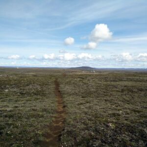
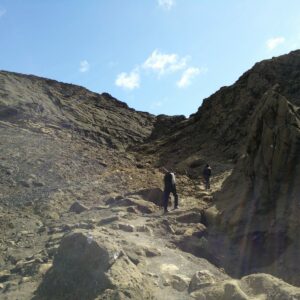
This trail is not technically demanding and I believe that everybody can execute this extremely nice hike. However, I would recommend you to wear good hiking boots because some parts of the trail are quite steep. If you are planning to do the hike in winter, you will probably also need crampons and an ice axe.
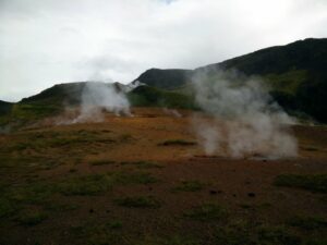
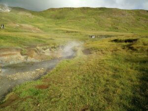
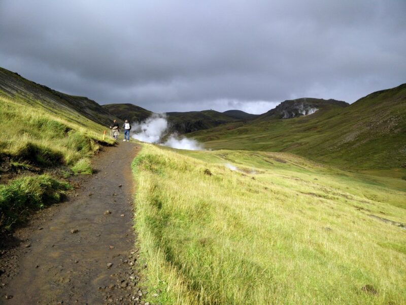
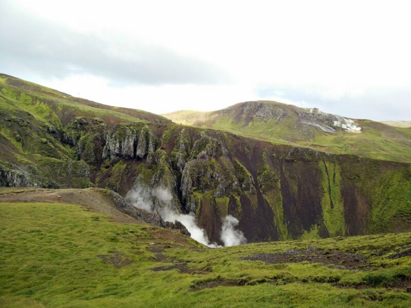
From the bus stop walk past the gas station and then go right on the Reykjamork Street. Then continue on the Reykjamork Street. You will go past a swimming pool as well as small but fabulous waterfall. After walking on Reykjamor Street for approximately 1.1 kilometer you will see a dirt track on your left which runs towards west. Continue on this dirt track and soon you will arrive to a hot spring area. Keep in mind that these hot springs are not appropriate for bathing. There are many signs around them, warning you that the water temperature is above 80 C °. I would also recommend you to follow the path to avoid accidently stepping into the boiling hot water.
After seeing these amazing hot springs continue on the dirt track for approximately 900 meters and then cross the river by the bridge. Here it can get tricky with navigation. You have to go towards west but because there is a big golf course on that side you will first have to head south for approximately 200 meters. Then you will see a wide dirt track on your right which runs towards west. You should continue on this wide dirt track for 2 kilometers and then you will arrive to the parking place which is the official starting point of the trail. If you are reaching the starting point by car you can park here.
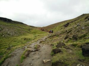
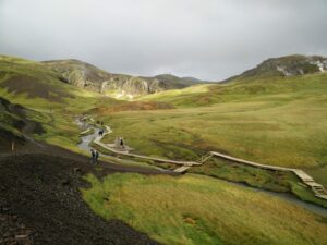
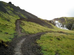
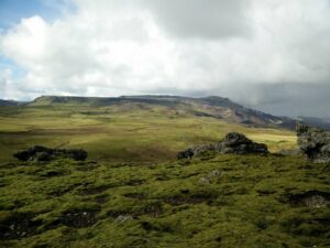
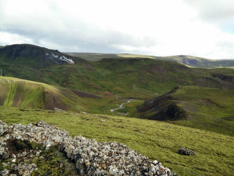
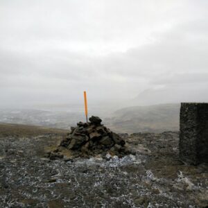
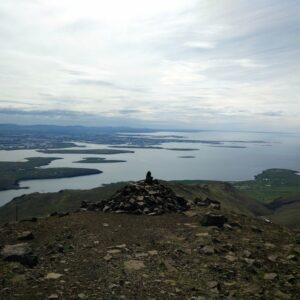
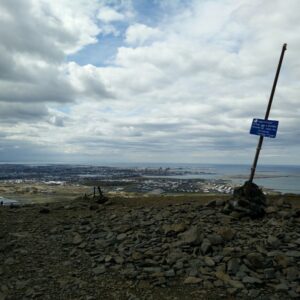
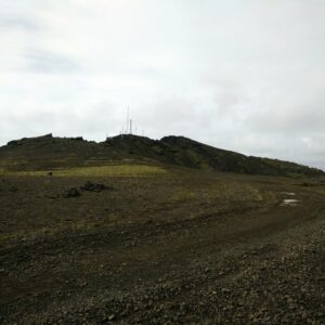
From there on the path gets narrower and steeper. The path is now well marked and you will meet many hikers on the trail. Therefore, I believe you won’t have any problems with the navigation. After hiking for approximately 3 kilometers you will reach an extremely active geothermal area with many hot springs. Ahead you will also see the geothermal river. I decided to prolong the hike and climb a small mountain behind the river. Therefore, I continued on the steep path that leads towards west. After approximately 2 kilometers I arrived to the top of the mountain and enjoyed the view on the geothermal river and surroundings. Then I descended from the mountain on the same path and stopped at the river. After bathing in the hot water for almost 2 hours I returned to the bus stop and went back towards Reykjavik.
Getting back to the starting point
For the way back I used the same path as for the way up.
Equipment
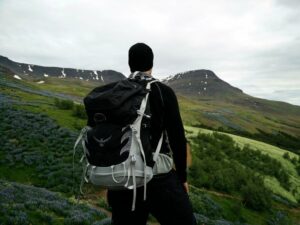
Even though the weather forecast didn’t show rain, I kept in mind that the weather can change quickly in Iceland. And it did; right after I stepped out of the bus, it started raining. I was happy that I was wearing pants made of Schoeller AB400 fabric and a Mammut Windstopper jacket. I was also wearing an Under Armour t-shirt, Woolx Blizzard Top, Woolx Merino Hat and Salewa Mountain Trainer hiking boots. In my Osprey Talon 44 backpack, I was carrying water, food, thermal underwear, a towel and swimming boxers.
Equipment under scrutiny
Osprey Talon 44
This extremely light backpack was perfect for this trail. I’m really amazed over the back panel which allows free flow of air between the back and the backpack thus providing great ventilation. The items in the backpack also stayed dry even though it was raining quite heavily in the beginning of the hike. During the hike I haven’t noticed any flaws on the backpack and therefore I would recommend it to every hiker who prefers quality. You can read the full review of the Osprey Talon 44 backpack here.
- Osprey has since released an updated version of the Talon 44 and the link leads to the new version.
Conclusion and photo gallery
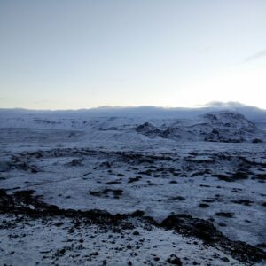
The Hveragerdi hot spring river trail is best for those who want to combine hiking and bathing in hot springs. The trail is easy, and I believe that everybody can reach the geothermal river. But keep in mind that you need a pair of good hiking boots because the path is quite steep at some places. As Iceland is a very windy and rainy country I also recommend bringing a rain jacket or a softshell jacket which will protect you against the elements.
If you have any questions about this hike, please drop me a line in the comments below.




We hiked up Saturday in the wind and rain. But the river was not even warm!! So disappointing, except the Mountain View’s were spectacular.
That’s odd! Was the river cold also higher up? When I was there it was super warm and I figured out that the higher you go the warmer it is.
Hello,
what times did you start and end your hike, I will be going in June and want to do this hike. I would like to use the longer days to enjoy this possibly in the evening, I am currently checking bus schedules now. Thank you
Hi Chris, I believe we started the hike from the Hveragerdi bus stop around 9 or 10 in the morning, and then returned in the afternoon. But the current bus schedule is really what you should plan your trip after. Good luck and enjoy the hot river!