Bodenhaus – Ammererhof Trail
About Bodenhaus – Ammererhof Trail
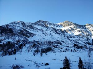
In the very first days of 2017 we went to the Rauris valley in Austria to make a few trips for our Hiking the Alps section. While the first hike went to the 2167 meters high Grubereck peak (hike to be published soon), we decided to go for something a lot easier the day after. The choice fell on the Bodenhaus – Ammererhof trail which follows a forest road from the parking place at the Bodenhaus guesthouse, meandering up to the picturesque Kolm Saigurn valley where there is possibility for ice climbing in the winter time (on frozen waterfalls!).
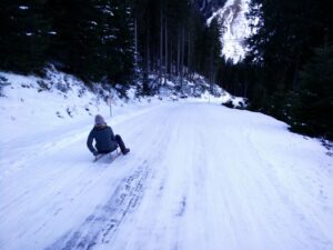
At Ammererhof, which is a pretty traditional Austrian guesthouse offering drinks, food and accomodation, you can rent a toboggan for 4 euros ($ 4.3) when it is snowy and basically sledge all the way down to the starting point of the hike – which is what we did. On our way up we saw several ecstatic adults and a few kids making their way down with great speed.
Bodenhaus – Ammererhof Trail Details
Physical Difficulty
Easy
Technical Difficulty
Easy
Duration
2 h 25 min
Distance
9.76 km
(6.06 mi.)
Ascent
417 m
(1368 ft.)
Descent
417 m
(1368 ft.)
Highest Point
1652 m
(5420 ft.)
Lowest Point
1233 m
(4045 ft.)
Date of the Hike Date when we did this hike ?
January 2017
Weather On the day when we did this hike ?
Sunny
Temperature On the day when we did this hike ?
-4° C
(25° F)
Wind On the day when we did this hike ?
5 km/h
Bodenhaus – Ammererhof GPS Route and Trail Description
*Click on the chart to see the location on the map
GPX route helps you with the navigation on a hike. It can be used with a smartphone, handheld GPS device or a GPS watch.About GPX Route
Reaching the starting point
The hike starts at the parking place at Bodenhaus which, put in simple terms, is at the end of the 25 kilometers long state road L112 (a so-called Landesstrasse) starting in the town Taxenbach and running south through the villages Rauris, Wörth and Bucheben. To reach this road you need to drive along the U-shaped highway (so-called Bundesstrasse) 311 between Saalfelden, Zell am See and Bischofshofen; if you are driving along the Austrian expressway A10 (runs between Salzburg and Villach), you should take the exit Bischofen/Pongau to get on the 311 while those who are approaching from the east on the European expressway E45 (runs from Sweden to Sicily!) should take the exit at Wörgl and either take highway 178 to Sankt Johann and then highway 164 to Saalfelden or from Wörgl take the more southern highway 170, 161 and 168 to reach Zell am See.
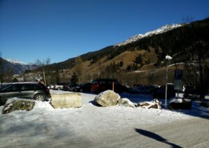
When you are driving along the 311 highway (from whichever direction), you take the exit towards Rauriser Bundesstrasse just east of Taxenbach. Doing so, you will cross over the rail road tracks as well as the river Salzach. Follow the entwining road L112 for 25 kilometers through villages Rauris, Wörth and Bucheben until you reach the guesthouse called Alpengasthof Bodenhaus (address: Kolmstrasse 6, 5661 Rauris); on the other side of it you will find the parking place for hikers and other visitors to the national park. It costs 2 euros ($ 2.1) for up to six hours long parking; prices beyond this amount to a euro extra per day.
Trail
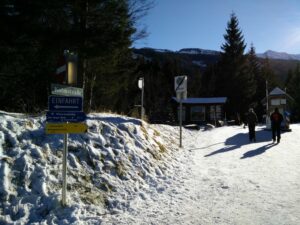
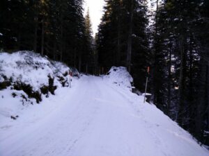
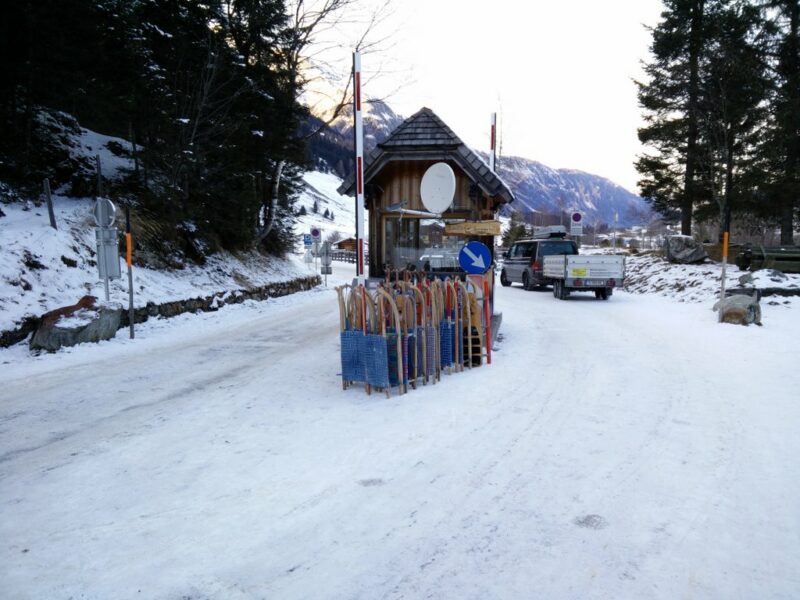
From the parking place you should follow the road towards south; you will soon come to a small toll station which is not operated in the winter season, meaning that only local cars with a permit can use the road and drive into the Kolm Saigurn national park. In summer a fee has to be paid to enter the national park by car. The forest road ahead is often referred to as the Kneippenweg and meanders up through the forested hillside. Most places your view will thus be blocked by dense pine trees but here and there you get a good view of the beautiful surroundings.
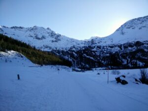
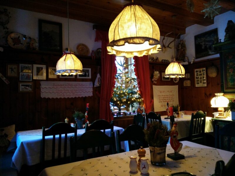
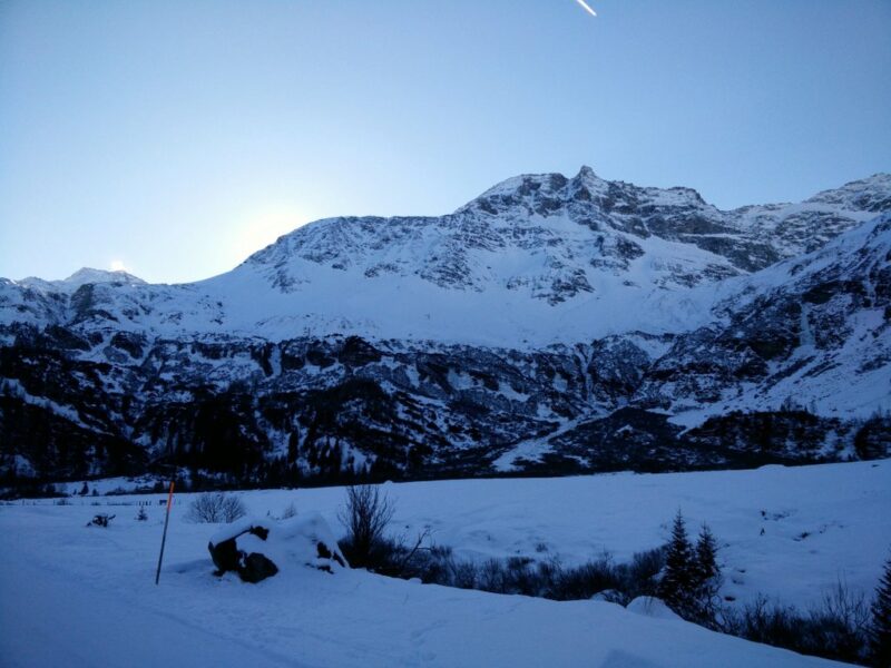
After walking for approximately four kilometers, you will pass by a small clearing with the so-called Lenzanger parking place, which is free of charge and very used in the summer time for hikers going to the peaks that surround the valley, such as the 3106 meters high Hoher Sonnenblick. Shortly after the parking place you exit the woods and have the Kolm Saigurn valley laid out before you. Here you will walk next to the little mountain stream Huttwinklache for approximately 1.5 kilometers; then the road will split into two and you should follow the left one that soon runs quite steep uphill to Ammererhof. In front of Ammererhof you will be able to enjoy a great view on the valley and its steep hillsides and waterfalls. Do yourself a favor and enjoy at least a drink in the cozy dining room in Ammererhof. If you want to rent a toboggan, you should ask the helpful staff; they will also tell you where to leave it once you have sleighed downhill.
Getting back to the starting point
For our return, we were speeding things up by sleighing down on toboggans most of the way. A few stretches were too flat to sleigh down and had to be walked, while we reached adrenaline-ensuing velocities other places, although the forest road did not seem that steep on the way up. Caution is, however, required in the many hairpin turns and whenever a vehicle is passing by (we were only passed by two cars during the entire trip down); it is highly recommended to stop sleighing until the vehicle is well ahead of you. At the time of our trip the rented toboggans were neatly stacked at the end of the forest road at the toll station and this is also where we placed ours.
Equipment
As the hike took place in sunny and dry but quite cold weather I was wearing the Asics Fit Sana Contour tank under a Merino wool base layer with a down jacket on top and soft shell pants with thermal underwear bottoms under.
Equipment under scrutiny
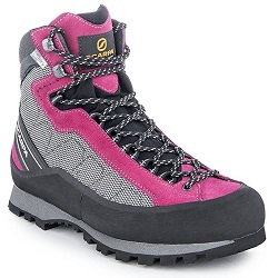
Scarpa Marmolada Trek
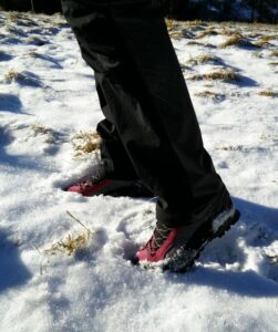
On my feet I was wearing my recently purchased Scarpa Marmolada Trek boots for just the second time. However, there was no need to “break them in” as they felt comfortable from the very beginning – possibly due to the climbing lacing system (which runs up to the toe) that ensures great fit and comfort. The forest road up to Ammererhof was icy but pretty even, so it did not offer much of a challenge to the heavy-duty Vibram soles of the Scarpa boots. In terms of breathability and warmth, the boots performed wonderfully in keeping my feet both dry and warm in the cold weather. You can read the full review of the Scarpa Marmolada Trek boots here.
Conclusion and photo gallery
The Bodenhaus – Ammererhof trail is very easy and can be done by everybody. When there is snow, it is an absolute must-do in the Rauris valley as the sleigh ride down and the picturesque Kolm Saigurn valley is well worth the slightly monotone hike up. However, in warmer weather or if you are not interested in tobogganing down, you might want to skip this trail as the Rauris valley surely offers more interesting hiking trails in terms of terrain and surroundings. Another possibility is to drive up to the Lenzanger parking place and continue on foot onwards.
You can find a map of hiking trails in Rauris valley here.
If you have any questions about this hike, please drop us a line in the comments below.
Bodenhaus – Ammererhof Trail Terrain Video

