About Reinstjønn Hiking Trail
The Reinstjønn trail was the first hike we did on our little family’s first hiking holidays, which was centered around Bortelid in Norway. While we had already done one longer hike in Mols Bjerge National Park with our little daughter MK in a child carrier backpack, the Reinstjønn trail offered twice as much ascent due to the much more mountainous terrain of Norway compared to flat Denmark. The weather was exceptionally sunny and warm, so we chose this trail to begin with as it is relatively short and ends at the Reinstjønn mountain lake. Our starting point was opposite the small parking place at the southern end of the village of Bortelid, where you can park your car free of charge. The other hikes we did, namely the Kvitevatn and Gjuvvatnet trails, also start from here.
Reinstjønn Hiking Trail Details
Physical Difficulty
Easy
Technical Difficulty
Easy
Duration
3 h 4 min
Distance
6.6 km
(4.1 mi.)
Ascent
265 m
(869 ft.)
Descent
199 m
(653 ft.)
Highest Point
810 m
(2657 ft.)
Lowest Point
560 m
(1837 ft.)
Date of the Hike Date when we did this hike ?
June 2020
Weather On the day when we did this hike ?
Sunny
Temperature On the day when we did this hike ?
27° C
(81° F)
Wind On the day when we did this hike ?
5 km/h
Reinstjønn GPS Route and Trail Description
*Click on the chart to see the location on the map
GPX route helps you with the navigation on a hike. It can be used with a smartphone, handheld GPS device or a GPS watch.About GPX Route
Reaching the starting point
Bortelid is located at the northern end of the regional road (Fylkesvej) Fv351 which runs from Kyrkjebygda in the south and ends a few kilometers north of Bortelid. Unless you are a local, chances are, however, that you will be approaching Bortelid from driving along main road 9 (hovedvei- marked with white numbers in green squares on signs) or primary regional road 42 (marked with black numbers in white squares). The two roads intersect and entwine temporarily around the village Evje. If you are coming from the north, you drive through Evje, cross the bridge over the Otra lake and drive for about a kilometer till you reach a roundabout at the Joker supermarket (yes, that is what it is called). Here you take the second exit onto the regional road Fv302 which turns into Fv353 after approximately 20 kilometers’ drive. After driving along the Fv353 for about eight kilometers, you come to a T-cross where you should turn to the right on Fv351, following the sign for Bortelid, and then drive for ten kilometers.
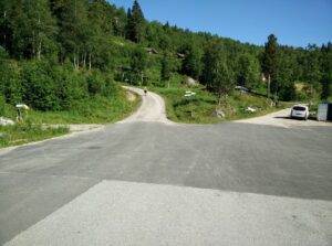
When you start seeing lampposts along the road, you have reached the beginning of the village. At the turn of the road, you will see a parking lot to your right and a side road on your left; here is where the attached gpx-trail starts. You can leave your car on the parking lot free of charge. If you are coming from the south, main road 9 and regional road 42 intersect and merge next to the village Hornnes (you will see signs with speed limit 30 on the street going into the village), and you continue towards north for about one kilometer till you reach the roundabout at the Joker supermarket. You take the second exit onto regional road Fv302, and follow the instructions as described above. You can also reach Bortelid with public transport. Use the website for Agder public transport to plan your trip.
Trail
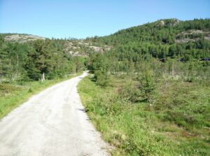
From the parking lot, you cross the regional road to reach the asphalted side road called Krolia where the trail begins. At the other end of Krolia, it splits into three narrow roads, where only the easternmost, called Bortelidgard, is paved. You should choose the westernmost dirt road, which bends sharply towards southwest and rises relatively steep. There is also a directions sign there, and not surprisingly, the steep dirt road is called Berge (=“mountains”). After walking a few hundred meters on the dirt road, it takes a sharp turn towards northwest, and in the other end you will find a small unpaved parking lot where hikers and inhabitants of the huts in this part of Bortelid can park. However, if you like your car, you will probably prefer not to drive on dirt roads with it.
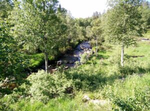
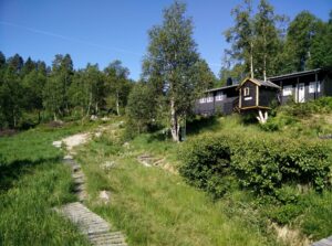
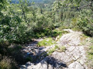
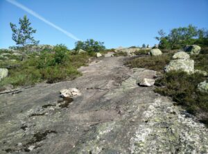
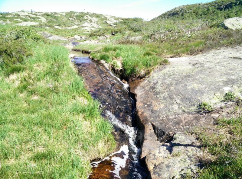
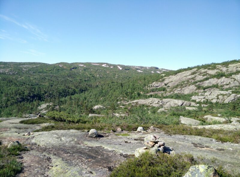
At the end of the dirt road, just before the small parking lot, you should take the narrow path on the right which goes almost directly west for the first two hundred meters and then increasingly north. The path runs in close proximity to the small stream called Bergeånæ (≈ “mountain stream”), and thus the ground is quite boggy. Therefore, the inhabitants of the huts surrounding this path have laid out wooden pedestrian bridges and pallets to help you keep your feet dry. The boggy ground is, however, also the reason for the lush nature around the trail. After having walked one kilometer since the end of the paved road (1.2 kilometers altogether), the trail takes a rather sharp turn towards north, and the ground gets increasingly dry and rocky until you are walking quite steeply uphill on pure cliff.
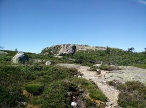
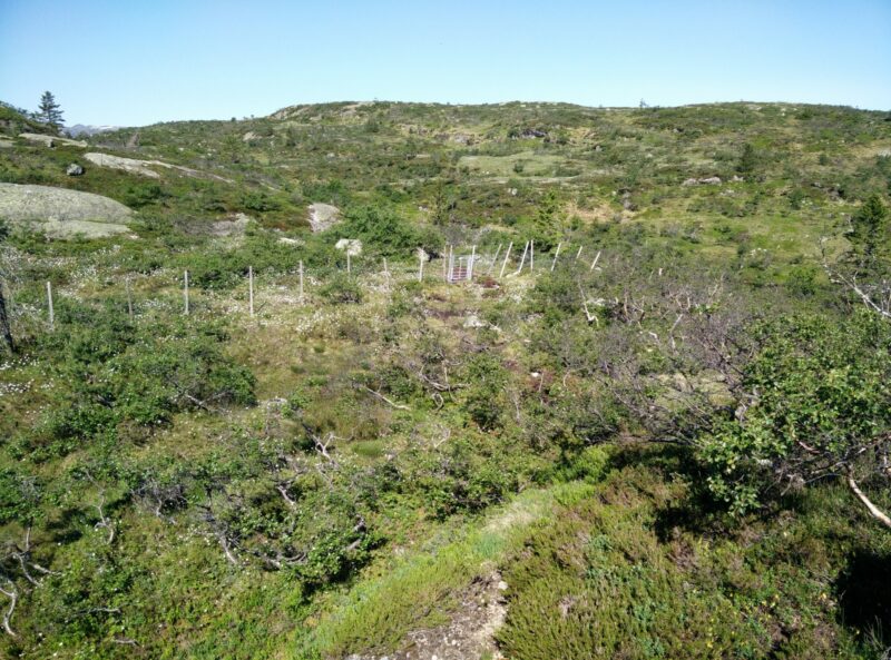
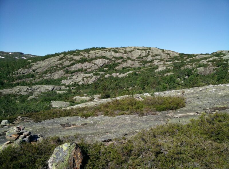
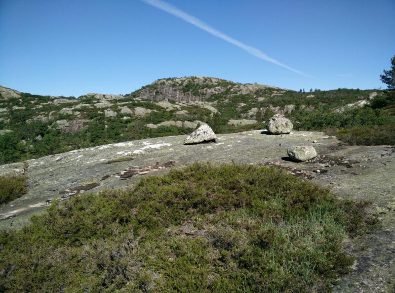
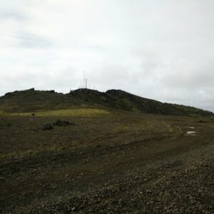
There is, nevertheless, plenty of trees and shrubbery to begin with but as you make your way upwards, the vegetation becomes lower and less dense. On cliff, rocks and trees you will occasionally see small light blue circles which marks the route. Be sure to turn around to enjoy the lovely landscape beneath you once in a while. For the first kilometer uphill, the trail is very steep but then you end up on a plateau at around 790 meters of altitude where the lake Reinstjønn is placed. From here, you can really enjoy the view of the surrounding peaks and plateaus. We tried to explore the plateau a bit towards west to see if there was any way we could make our way out to some of the western peaks which rise above 800 meters over sea level, and we would probably have continued if it hadn’t been for the little one.
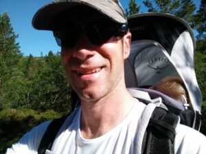
At this point, MK woke up complaining and we had to quickly find shade from the sun, so I could take her out of the child carrier and breastfeed her. This proved to be quite a challenge as the only shade was to be found under the occasional tree (with ants and soggy ground) or next to huge rocks which looked like they could tumble over and crush us any minute (at least that’s what Blaz said). We tried to find somewhere nice to sit by the Reinstjønn lake, but were haunted by some large black-green (horse)flies which tried to bite. Instead we made some quick stops to soothe MK’s most immediate needs, but then made our way down to the starting point the same way that we came up as the sun was getting very warm for the little one.
Equipment
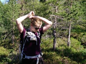
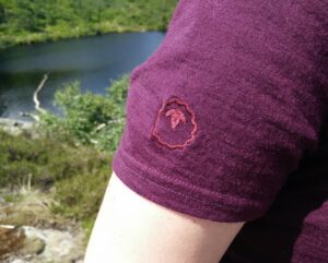
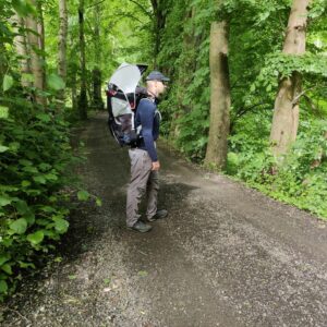
I was wearing my Isobaa Merino 150 t-shirt, Boob Design Fast Food sports bra, shorts and hiking socks and boots while carrying water, snacks, sun crème and extra layers in the Osprey Talon 44 as Blaz was carrying our daughter in the Osprey Poco child carrier backpack.
Equipment under scrutiny
Isobaa Merino 150 T-Shirt
Lightweight Merino wool is great to wear also when the temperatures are high, and thus the Isobaa Merino 150 t-shirt was perfect for this day, not least because it protects your skin against the sun due to the natural UPF. Other good features are the offset shoulder seams (to avoid chafing from the backpack), drop tail hem for coverage, and the underarm gussets for absolute freedom of movement. Read the full review of the Isobaa Merino 150 t-shirt here.
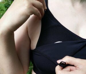
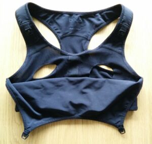
Boob Design Fast Food Sports Bra
I brought both the Boob Design bras to Bortelid, but due to the high temperatures I chose the Fast Food Sports Bra for this hike as the entire back as well as the inner layer on the front is made of smooth breathable mesh. The outer layer on the front can be clipped on and off for easy access to the breast as the inner layer features a hole around each nipple. You can read the full review here.
Conclusion and photo gallery
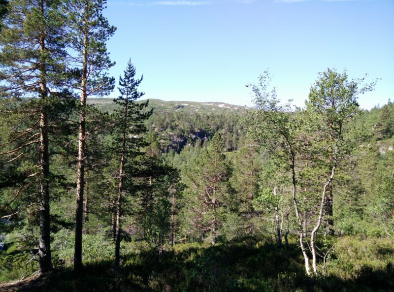
The Reinstjønn trail was an easy and beautiful start on our little hiking holiday, and I would recommend everyone close to Bortelid to walk it for a little recreation and a view on the surroundings. It is not the kind of must-see trail that you should drive far to undertake, but we did meet a few people on our way up. The trail is suitable for everyone surefooted enough to walk up a steep rocky hill, but as a very minimum you should wear a pair of good hiking boots to support your ankles and minimize the risk of slipping and losing your foothold. If done in winter, you should wear crampons and appropriate winter hiking gear due to the steepness. For us, in summer, protection against insects was more crucial! The landscape is lush with grass and flowers, and low, mostly coniferous trees but there are also more majestic cliff and rock formations to be seen.
If you have any questions about this hike, please drop me a line in the comments below.

