About the Endelave Mini-Kanino Hiking Trail
Like many other countries, Denmark has been hit by hiking fever the last years, which has caused many local communities to mark and map out hiking routes – with various imaginative names. On the small island Endelave, which is known for its numerous rabbits, they have made a hiking route around the entire island called the Kanino (“kanin” meaning rabbit in Danish), cleverly alluding to the famous historic Camino routes to Santiago de Compostela in northern Spain. The main Kanino route is 21 kilometers long, which we decided was a bit too long for our little family to do in the seven hours we had on the island between arriving and departing with the ferry. Therefore, we opted for the Mini-Kanino trail, which is only 12 kilometers long (the first half runs along the main Kanino trail). Both trails as well as two shorter ones (3 and 5.5 kilometers) are well-marked; the Kanino with blue arrows and the Mini-Kanino with green arrows. All trails start at information table near the island’s harbor, but you can get a full overview of the routes here.
Endelave Mini-Kanino Hiking Trail Details
Physical Difficulty
Easy
Technical Difficulty
Easy
Duration
3 h 20 min
Distance
12.92 km
(8.03 mi.)
Ascent
0 m
(0 ft.)
Descent
0 m
(0 ft.)
Highest Point
4 m
(13 ft.)
Lowest Point
1 m
(3 ft.)
Date of the Hike Date when we did this hike ?
September 2021
Weather On the day when we did this hike ?
Partly Cloudy
Temperature On the day when we did this hike ?
19° C
(66° F)
Wind On the day when we did this hike ?
32 km/h
Endelave Mini-Kanino GPS Route and Trail Description
*Click on the chart to see the location on the map
GPX route helps you with the navigation on a hike. It can be used with a smartphone, handheld GPS device or a GPS watch.About GPX Route
Reaching the starting point
You can only reach Endelave by ferry from Snaptun, a small village 10 kilometres southeast of Horsens. The ferry usually has three departures every day – book your ticket in advance here. If you are coming by car to the ferry, like we did, you can park your car quite close to the harbor free of charge. Always pay attention to the signage, though, as parking might be time-limited in some areas. Park your car accordingly, and be ready to board the ferry at least 15 minutes before departure. There is a small cafeteria on the ferry, where you can buy refreshments and snacks. You can also come to the Snaptun harbor by public transport as bus 104 stops a hundred meters from the ferry; plan your travel on Rejseplanen.dk.
Trail
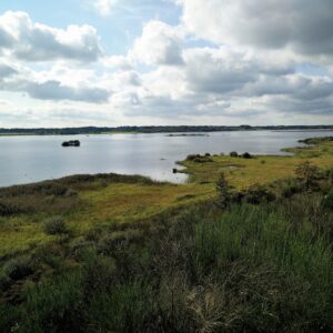
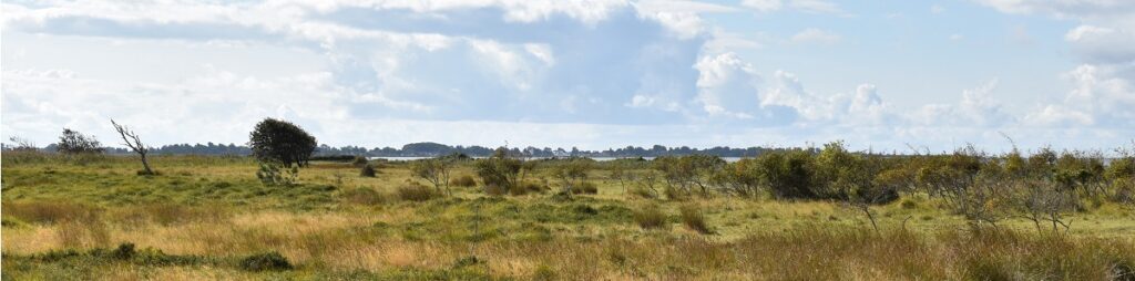
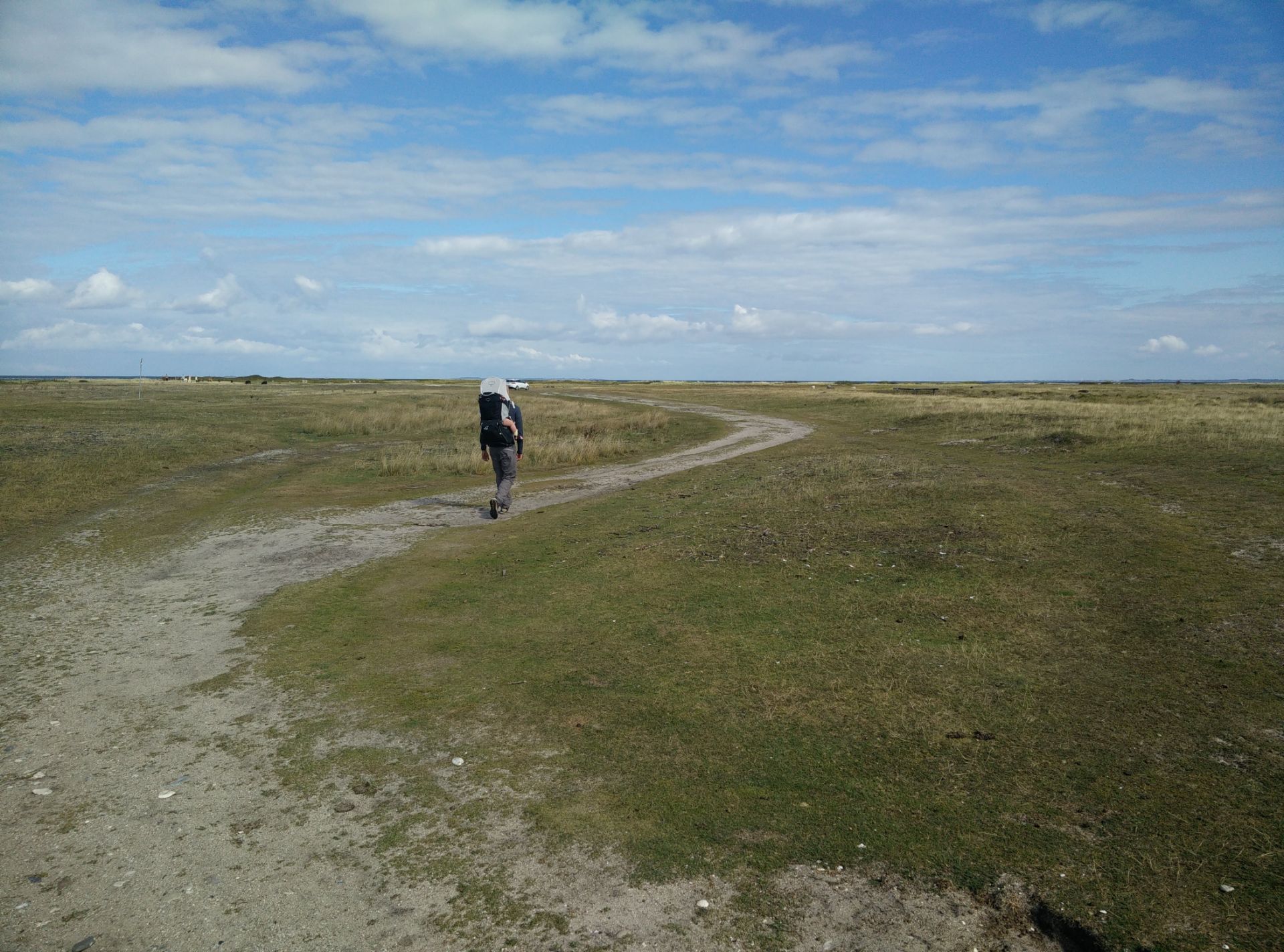
The trail starts at the Endelave harbor, where there is also a small public toilet. We first headed up to the information table which is about 400 meters directly south of the ferry landing. From here, we followed the paved road called Kongevejen (“King’s Road”) towards east for about 200 meters until we reached Endelave Strandvej, which starts out as paved but quickly turns into a dirt road, that runs closely to the beach for the first 1.5 kilometers. The landscape here is almost completely flat and dominated by slightly boggy grassland for livestock. The dirt road runs more or less east for the first two kilometers, then it takes a turn towards northeast. Three kilometers down the dirt road, it intersects with the paved Kongevejen (which is the island’s longest road) and there should be a water post with drinking water close by, but we didn’t look for it as we had enough water with us.
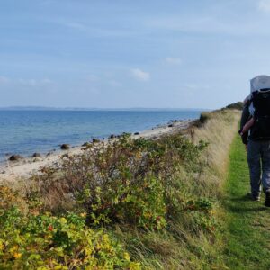
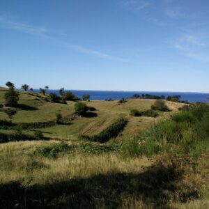
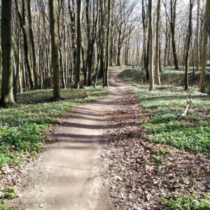
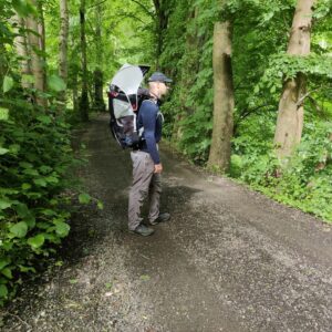
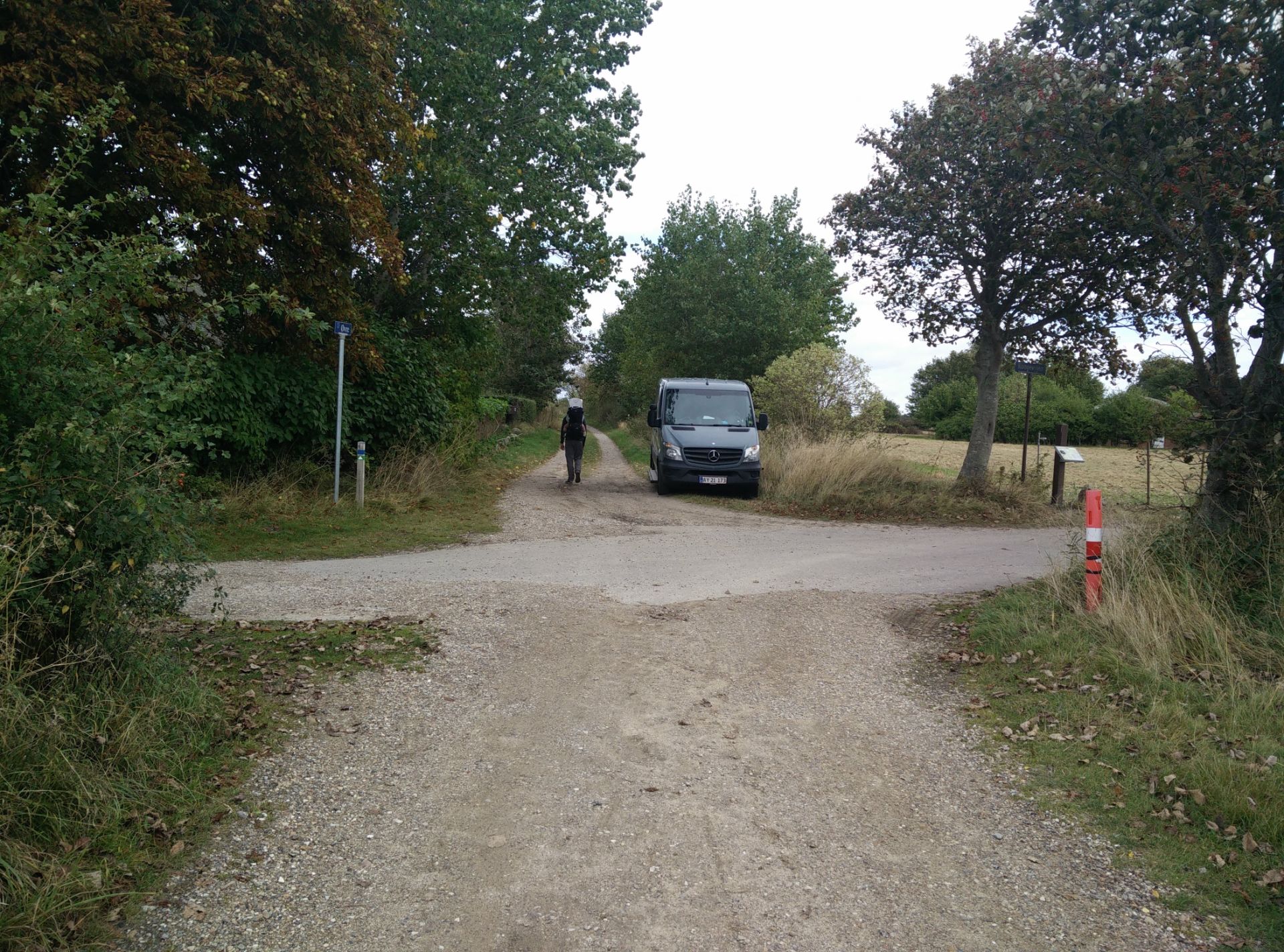
After the crossroad, the dirt road is called Øvre (instead of Endelave Strandvej) and runs north, while the vegetation becomes taller and more diverse. It was also at this time that the weather cleared up, and the sun started to show itself. The vegetation turned into a small forest, and once out of it, quite close to the tip of Endelave, we decided to take a lunch break in the hopes of getting the little one to sleep afterwards. We had walked 5.5 kilometers altogether at that point, but luckily found some old tree trunks to sit on while we ate our packed lunch in proximity to grazing sheep. We then continued on the trail, which bends towards south as one gets closer to the tip and then follows the eastern shore of Endelave. After walking 7.5 kilometers altogether, the Mini-Kanino trail diverges from the main Kanino path as it turns southwest, back towards the village and the ferry harbor, while the main Kanino keeps following the eastern shore.
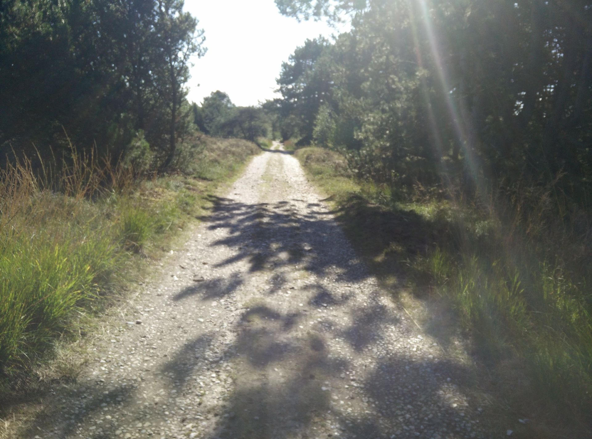
For the first 1.5 kilometers you are still walking on a dirt road surrounded by forest and nature, but then the road turns abruptly towards west, and soon you are walking on the paved Kongevejen towards south, and the landscape becomes more agricultural once again. Nevertheless, it was actually while walking on the paved road that we saw the first and only rabbit on the hike! We followed Kongevejen for two kilometers, and then made an emergency stop as the little one had woken up in the backpack. Luckily, we had just reached a picnic stop for hikers, and we managed to make her continue her nap (pheww!) on the sunny lawn tucked into my arms and our sleeping bag. There is, however, also a wooden pavilion and a primitive toilet at this picnic stop, so we could also seek shelter in case of rain. But the weather stayed sunny, and thus we stayed put till the little one woke up as we had plenty of time before the ferry departure.
Once MK was awake, we continued on Kongevejen towards west but after a bit more than a kilometer, we turned right on a dirt road towards Endelave Camping site in the hopes of buying some refreshments. It turned out that the camping site both had a small bar/restaurant and a small kiosk with all kinds of snacks and necessities. After buying a soda from the very friendly owner, we continued north on the small dirt road and found ourselves back at the beginning of Endelave Strandvej. We then simply followed Endelave Strandvej back towards the ferry harbor, well in time before the ferry departure.
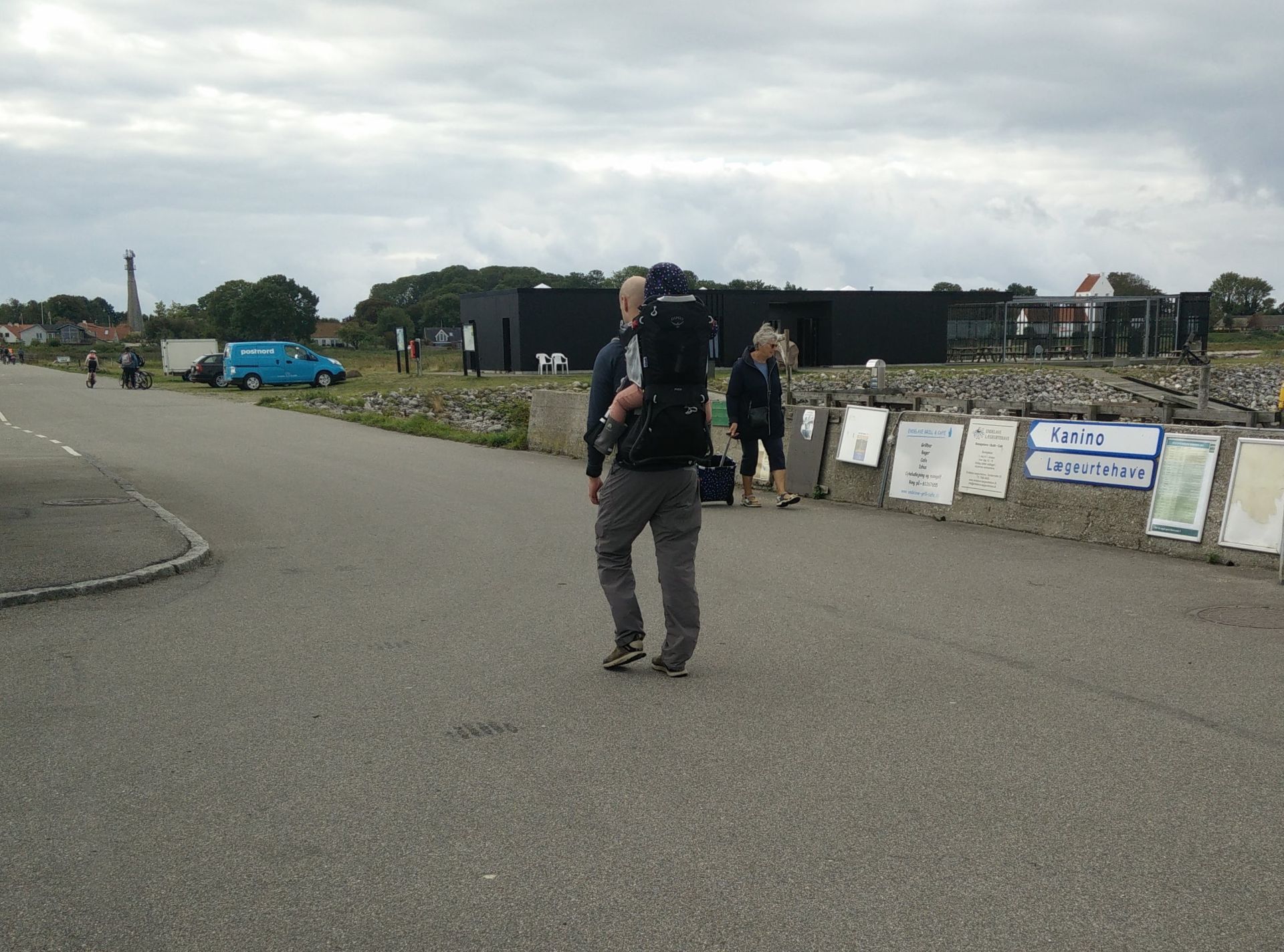
Endelave Mini-Kanino Trail – follow signs for ‘Kanino’ from harbor
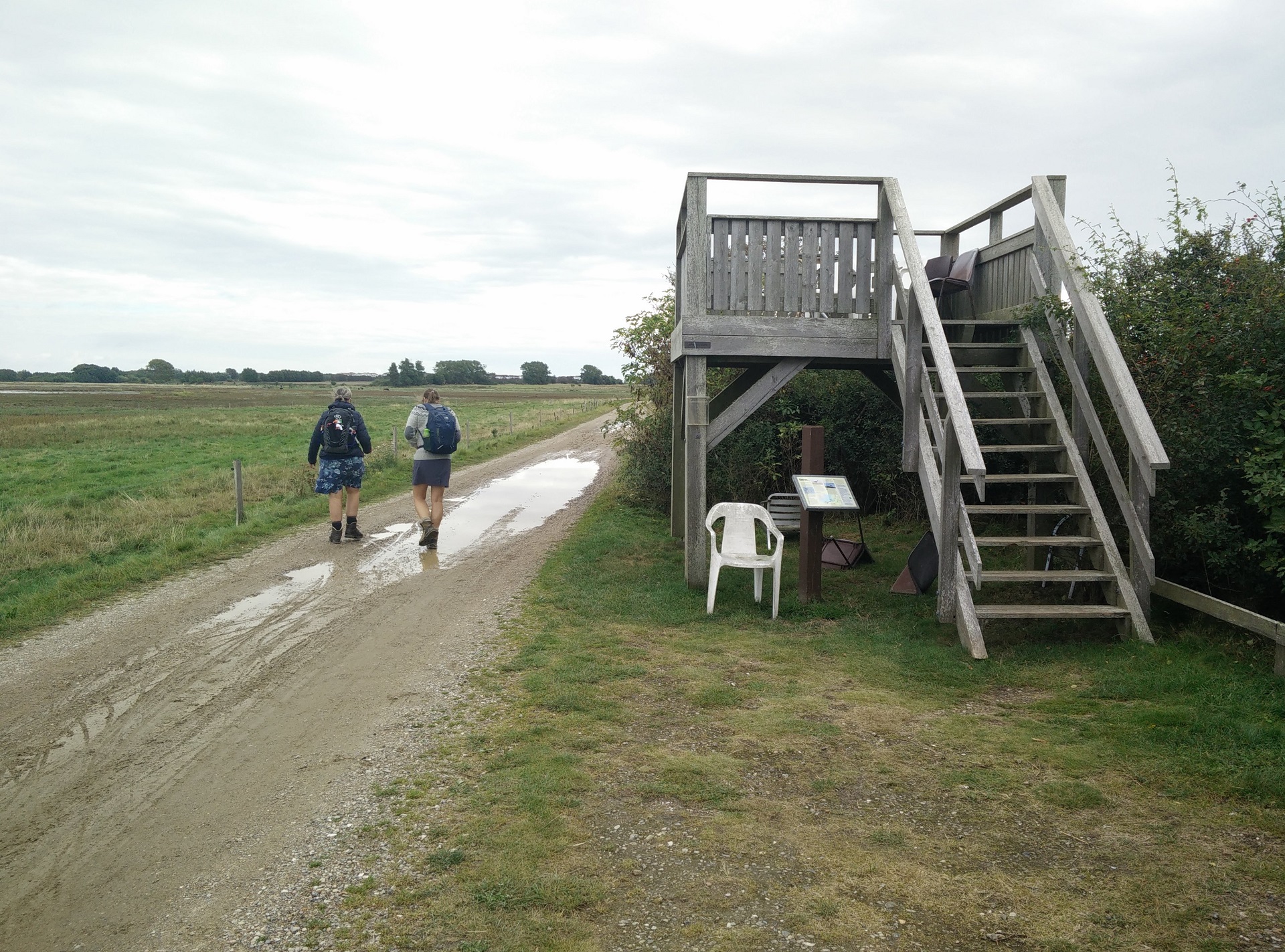
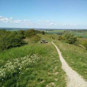
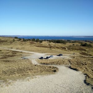
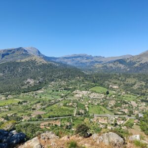
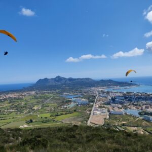
Endelave Mini-Kanino Trail – view point at Endelave Strandvej
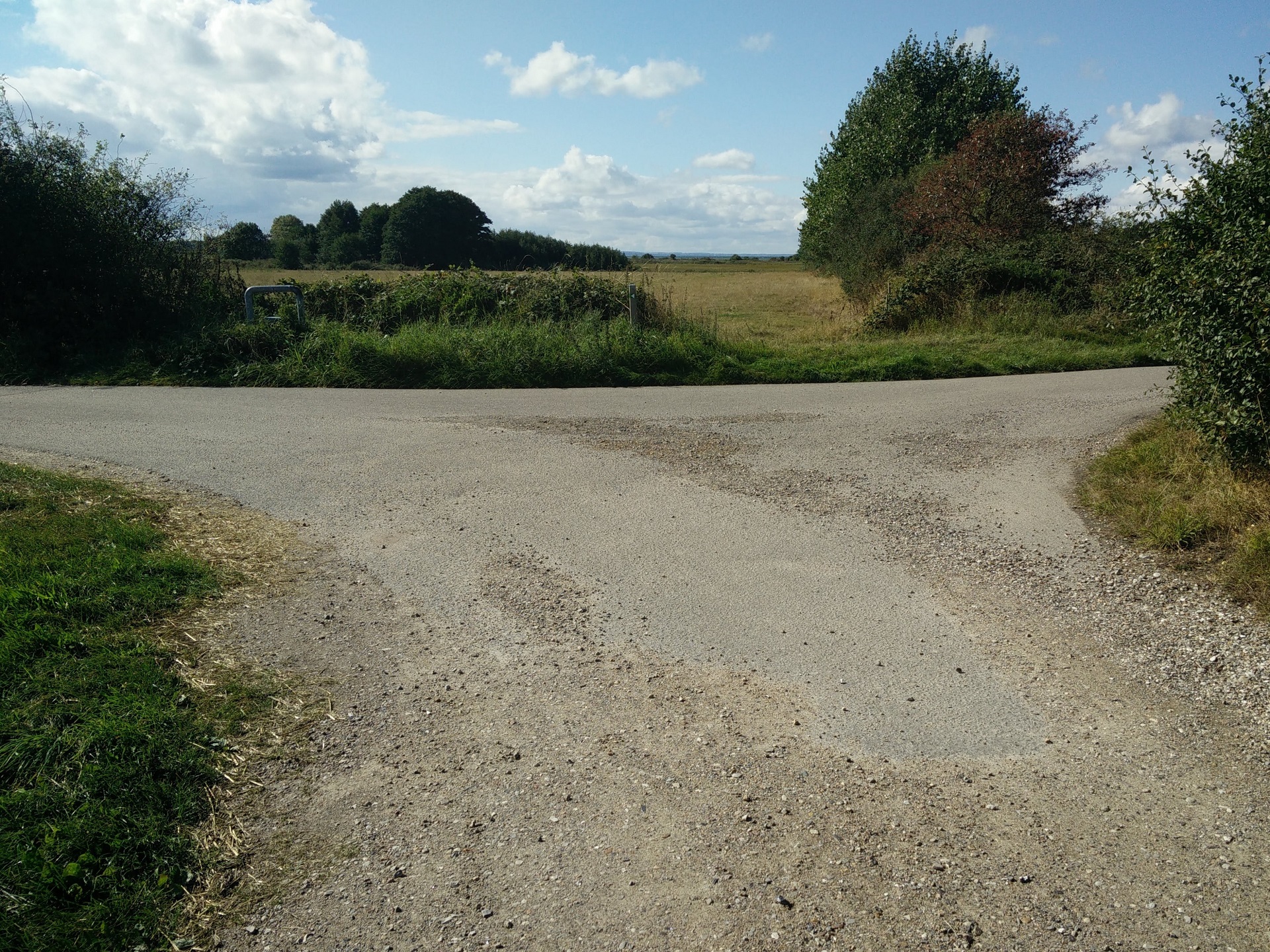
Endelave Mini-Kanino Trail – Kongevejen intersects the dirt road
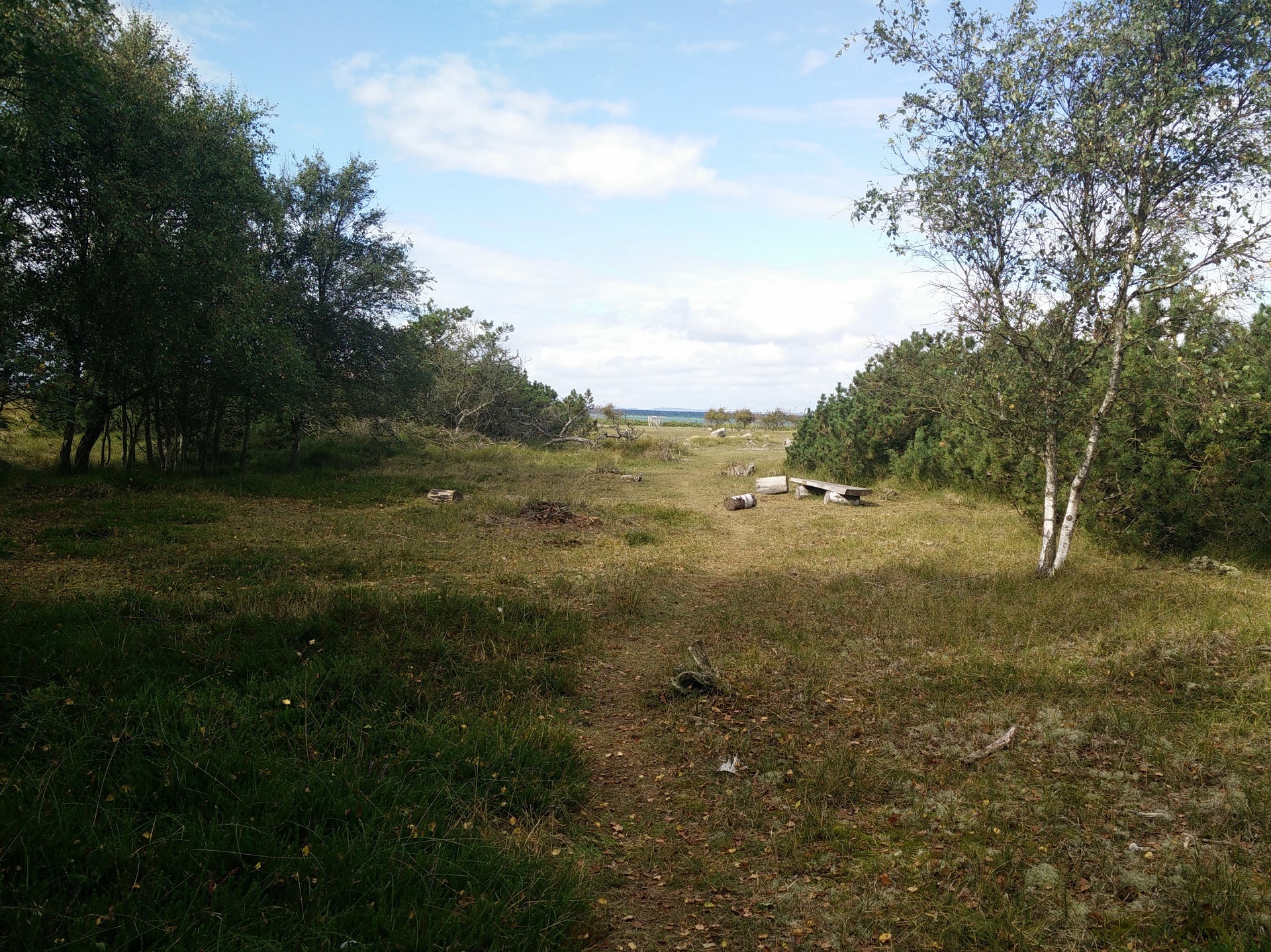
Endelave Mini-Kanino Trail – going off-trail for a lunch break
Endelave Mini-Kanino Trail – trail runs close to tip of the island
Endelave Mini-Kanino Trail – leaving the main Kanino trail behind
Endelave Mini-Kanino Trail – returning to the village on Kongevejen
Equipment
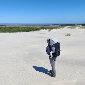
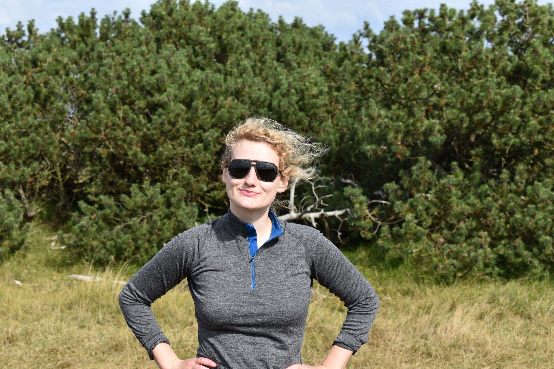
For this hike I was wearing the Isobaa 200 zipneck, Boob Design Merino bra, CimAlp Interstice Light pants, Falke TK2 Wool Silk socks and a pair of lightweight hiking boots. In my CamelBak Rim Runner 22 backpack I carried snacks, water and my Sherpa Makalu rain jacket, which I luckily didn’t need for anything but wind once in a while. Instead I wore the Ombraz sunglasses when the sun came out.
Equipment under scrutiny
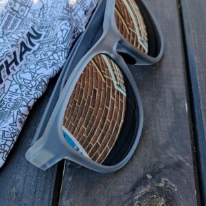
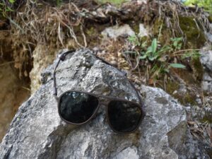
Ombraz Classic Sunglasses
Ombraz Classic Sunglasses on Endelave Trail
The sunglasses from Ombraz have become a favorite of mine for low-altitude hikes like this one. The sunglasses are super comfortable to wear due to the armless design, yet the cord holds them nicely in place. The category 3 lenses block out 89% of the visible light and as they are polarized, they also eliminate glare from the sea and other glistening phenomena. Read the full review of the Ombraz sunglasses here.
Conclusion and photo gallery
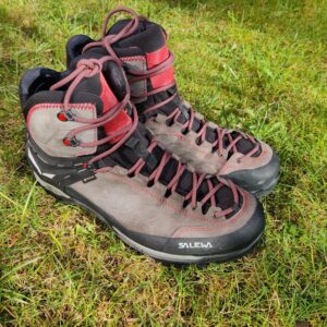
The Endelave Mini-Kanino is a very easy trail, suitable for all, and very flat so you don’t need particularly advanced footwear; a pair of trekking shoes should be more than sufficient. If you have time, we would definitely advise you to follow the main Kanino trail around the island’s shores as much as possible as it is not that interesting to walk on Kongevejen. We did, however, enjoy the first 9 kilometers of the Mini-Kanino trail very much although we only saw traces after rabbits (holes, poop etc.) instead of the animals themselves. You can buy refreshments both on the ferry and on the island itself, but beware of opening hours on the island, especially if you are arriving outside of the holiday/camping season.
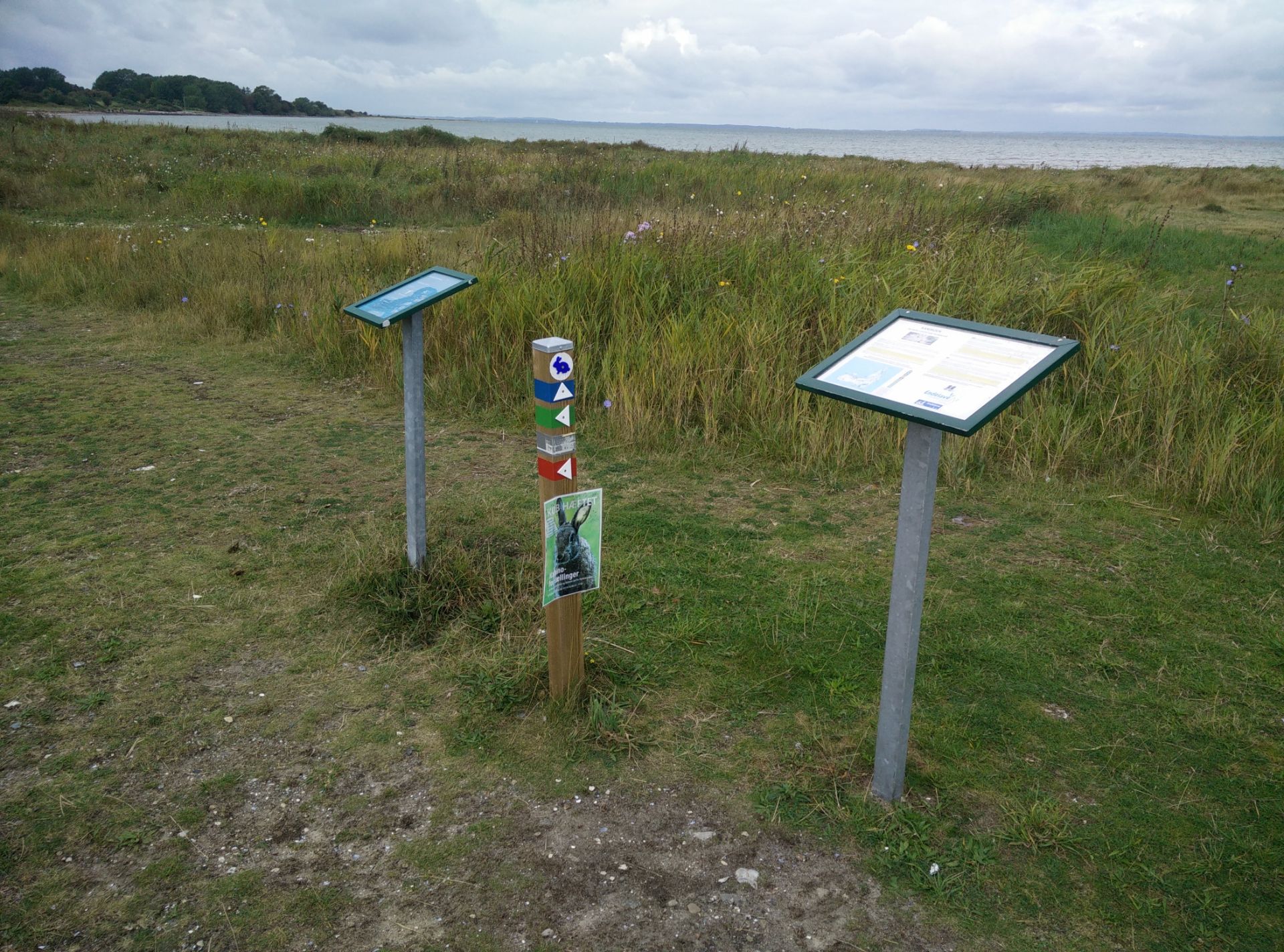
Endelave Mini-Kanino Trail - all paths are well-marked
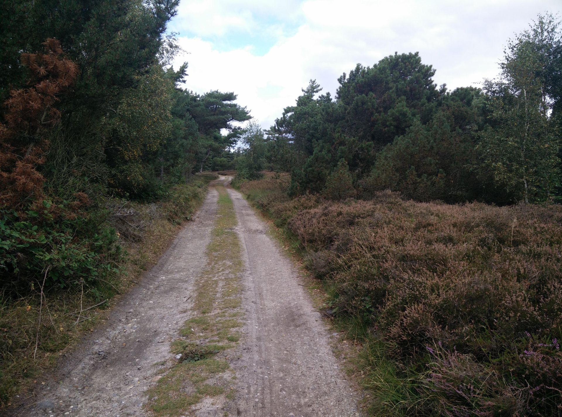
Endelave Mini-Kanino Trail - higher and denser vegetation at Øvre
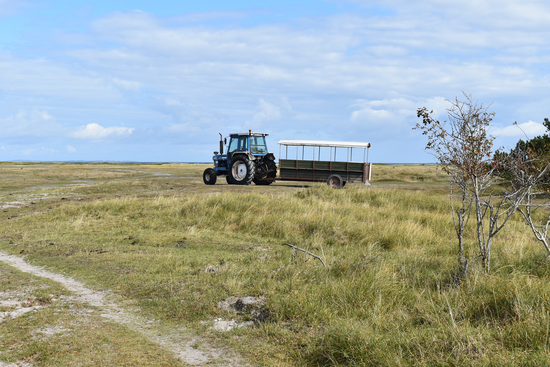
Endelave Mini-Kanino Trail - you will see more tractors than cars on the island
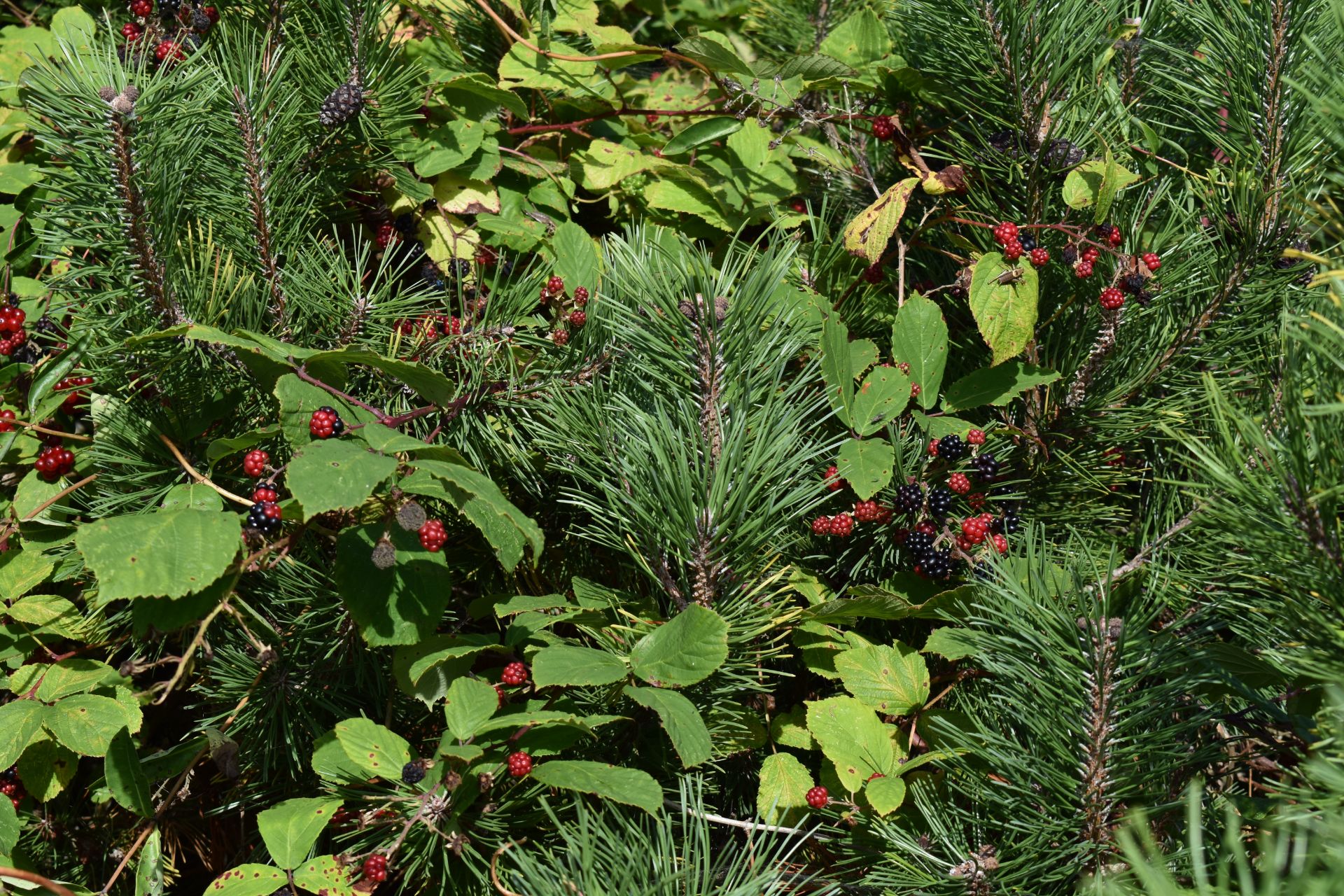
Endelave Mini-Kanino Trail - lots of blackberry to pick along the trail
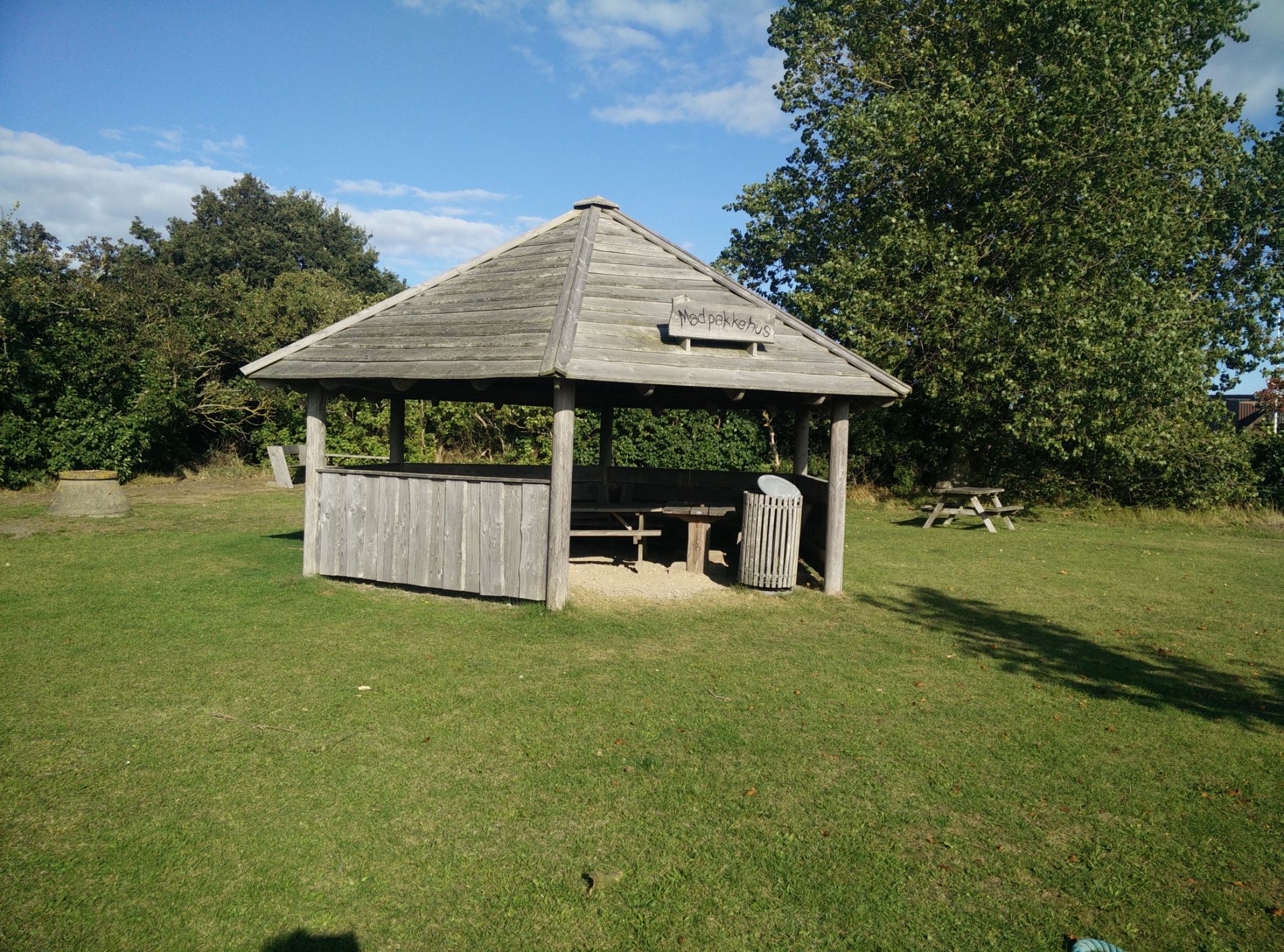
Endelave Mini-Kanino Trail - picnic stop for hikers
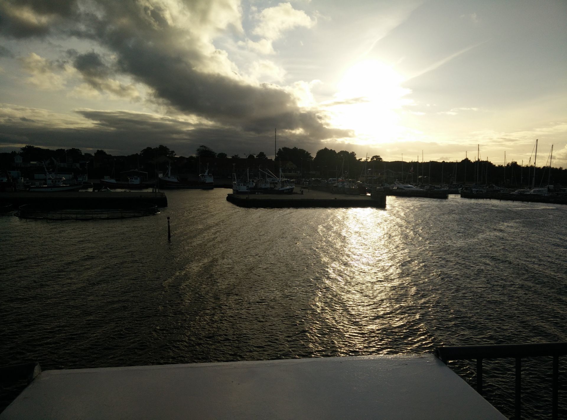
Endelave Mini-Kanino Trail - returning to Snaptun at sunset
If you have any questions about this hike, please drop me a line in the comments below.