About the Sum Waterfall Hiking Trail
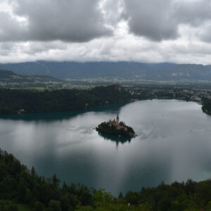
In early august we were on vacation around the picturesque Lake Bled in Slovenia, and of course we wanted to visit the beautiful Soteska Vintgar gorge in the area. It is a 1.3 kilometers long natural gorge, which you have to pay for to enter. We were, however, not the only ones who had that idea. At the parking lot near the entrance, road blocks had been put up by officials, who told us it would be full for hours, and directed us towards another parking lot further away. This parking lot turned out to be 45 minutes walk from the entrance, and as we were tight on time, we decided to do another hike, opting for the Sum waterfall which is at the northern end of the Soteska Vintgar gorge, and just outside the fenced-in area of the gorge.
The starting point for the Sum waterfall hike is at the parking lot at the cemetery in the village Blejska Dobrava. There are different parking zones; we choose the one with two hours free parking, which is more than enough for the hike to the Sum waterfall (pronounced “Shum”). If you want to stay longer, you have to pay but always follow the instructions on the signs as things can change.
Sum Waterfall Hiking Trail Details
Physical Difficulty
Easy
Technical Difficulty
Easy
Duration
47 min
Distance
2.65 km
(1.65 mi.)
Ascent
62 m
(203 ft.)
Descent
53 m
(174 ft.)
Highest Point
592 m
(1942 ft.)
Lowest Point
525 m
(1722 ft.)
Date of the Hike Date when we did this hike ?
August 2021
Weather On the day when we did this hike ?
Sunny
Temperature On the day when we did this hike ?
21° C
(70° F)
Wind On the day when we did this hike ?
2 km/h
Sum Waterfall GPS Route and Trail Description
*Click on the chart to see the location on the map
GPX route helps you with the navigation on a hike. It can be used with a smartphone, handheld GPS device or a GPS watch.About GPX Route
Reaching the starting point
If you, like us, originally wanted to go to the Soteska Vintgar gorge but had to change plans, chances are that you will be approaching from the south, in the village of Podhom where the entrance to the gorge is located. From here, you start driving towards west till the road ends and you reach the country road 634. You go to the right, following the direction towards Jesenice. The first five kilometers the road meanders towards north, then bends towards southeast. After driving on country road 634 for 5.5 kilometers, you will approach a road underpass, but you should turn to the right just before it, following the road sign for Blejska Dobrava. Then you follow the road through the village (both are called Blejska Dobrava) for about a kilometer until you come through a railway underpass. Then the road splits into two, and you take the right one following the sign for “Pokopalisce”, which means graveyard. You then drive for another 500 meters, until you reach the parking lot next to the graveyard.
In case you are approaching Blejska Dobrava from anywhere else, you should drive along the European highway E61 which cuts through the western half of Slovenia. Then you take exit 2 called Jesenice-vzhod, and follow the signs for Sp. Gorje until you see the sign for Blejska Dobrava. Just after you pass through a road underpass, the road splits into three and you should go left, following the sign for Blejska Dobrava. Then, you follow the same instructions as above.
It is also possible to come to Blejska Dobrava with public transport as you can come by train to the village station called Vintgar (check the Slovenian railway website for departures); expect around 1½ hours travel time from the capital Ljubljana with a change in Jesenice.
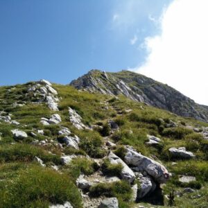
Trail
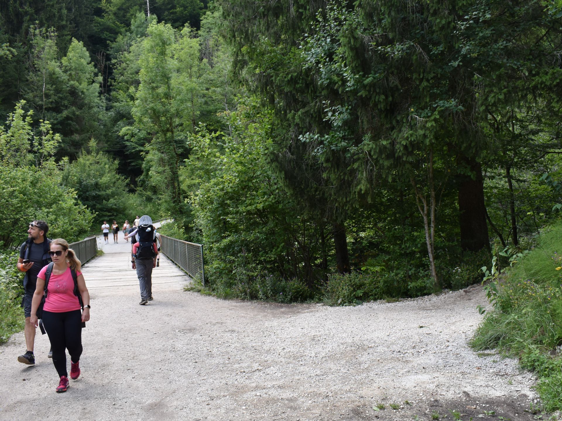
From your parking place you start walking towards the eastern end of the parking lot. It then splits into a blind paved road and a dirt road running parallel to it. You walk onto the dirt road, which leads into the Radovna Valley forest and soon bends towards south and then southwest. You simply follow the dirt road, and after walking a kilometer altogether you will start to see (and hear!) the Radovna river through the trees. A few hundred meters more and you will come to the bridge that crosses the river, but just before the bridge you will see a wide path on your right. This is where we started to meet other hikers. You should make a quick detour (100 meters each way) down this path to get the best view (and photo options) of the Sum waterfall. We actually failed to do that ourselves, which is why we haven’t been able to include any “money shot” of the waterfall itself. You can find numerous beautiful pictures on Flickr, such as this one. When you have taken in the view and snapped your shots, you should head back to the bridge.
After crossing the bridge, the path will quickly get narrower and steeper with a railing running along the right side towards the waterfall. When you have walked 1.4 kilometers altogether, you will be on the wooden footbridge which crosses back over the Radovna river as it cascades down the Sum waterfall. The wooden footbridge leads over to a platform with a hut that operates as a small café/bar, which was pretty packed when we were there. To the left of the hut, you will see the exit point for the enclosed Soteska Vintgar gorge. It is forbidden to enter the gorge from this end (you can only do so at the Podhom entrance), and you will get caught if you try as it is forbidden to walk in the opposite direction – both due to covid-19 precautions and general safety in the narrow rocky gorge, where falling stones are a real hazard.
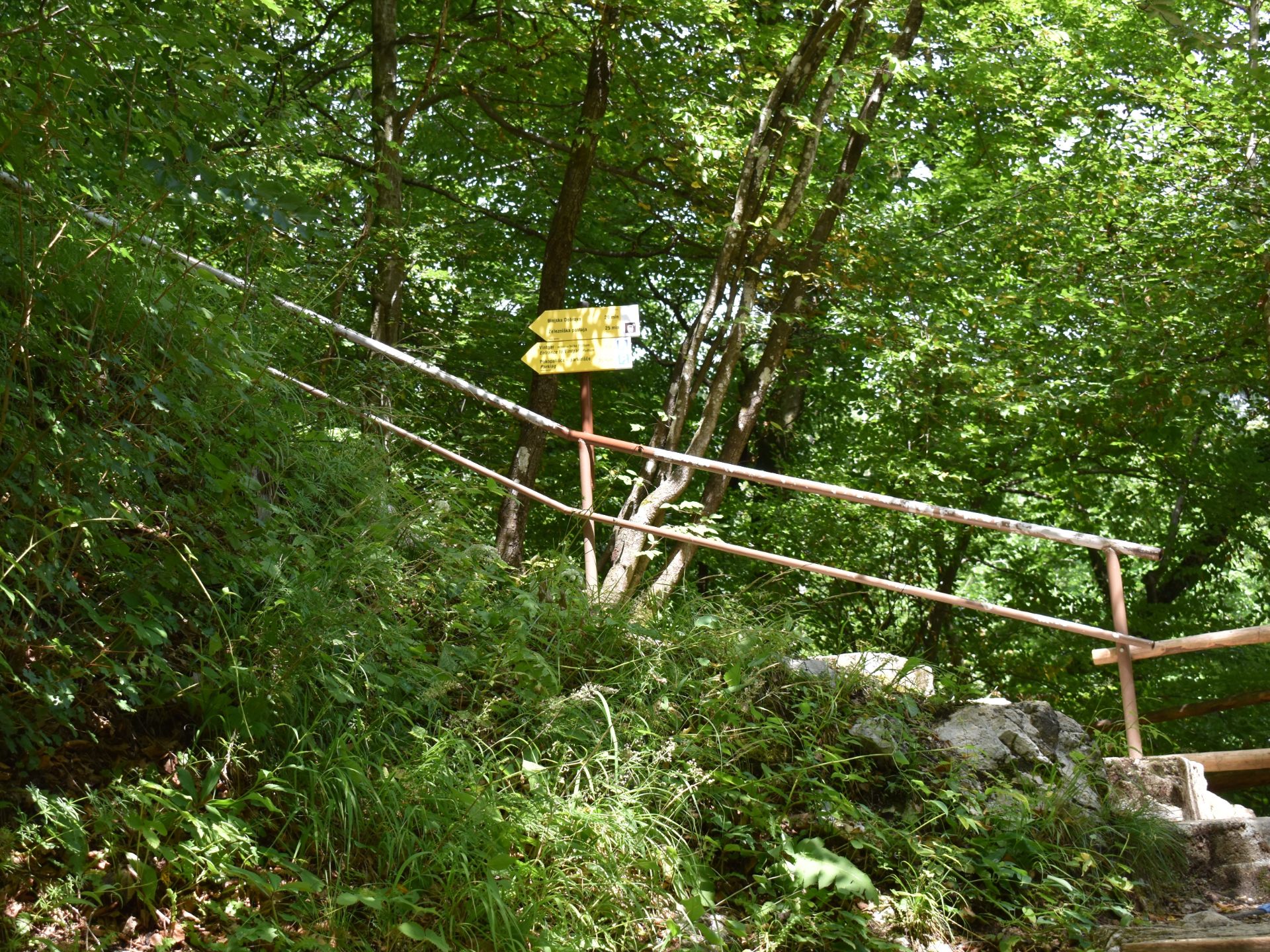
To the right of the cabin there is a few viewing platforms and here you will also find the path which will lead you back to the cemetery. The path ascends rapidly towards north through the forest, but is made with wooden steps and a railing on the exposed places. After walking 1.8 kilometers altogether, the forest path ends at the trail’s highest point (592 m). Ahead of you there is a paved narrow road running towards north, but on your right you will see a narrow dirt road running towards northeast. A directions sign will tell you that the former leads to the railway station in Blejska Dobrava, and the latter towards the village cemetery and parking lot, which is the starting point.
You follow the dirt road for 500 meters until it reaches the fenced in cemetery. We chose to enter the cemetery through a gate here, and follow its perimeter until we reached the parking lot. If you are uncomfortable walking in a cemetery (we did the hike on a Tuesday, so it was basically empty) or there is a funeral service going on, you can also choose to avoid it altogether by following the narrow dirt road out to the paved road and then going right towards the cemetery parking lot. This will prolong the hike with at least 500 meters, depending on where you parked your car.
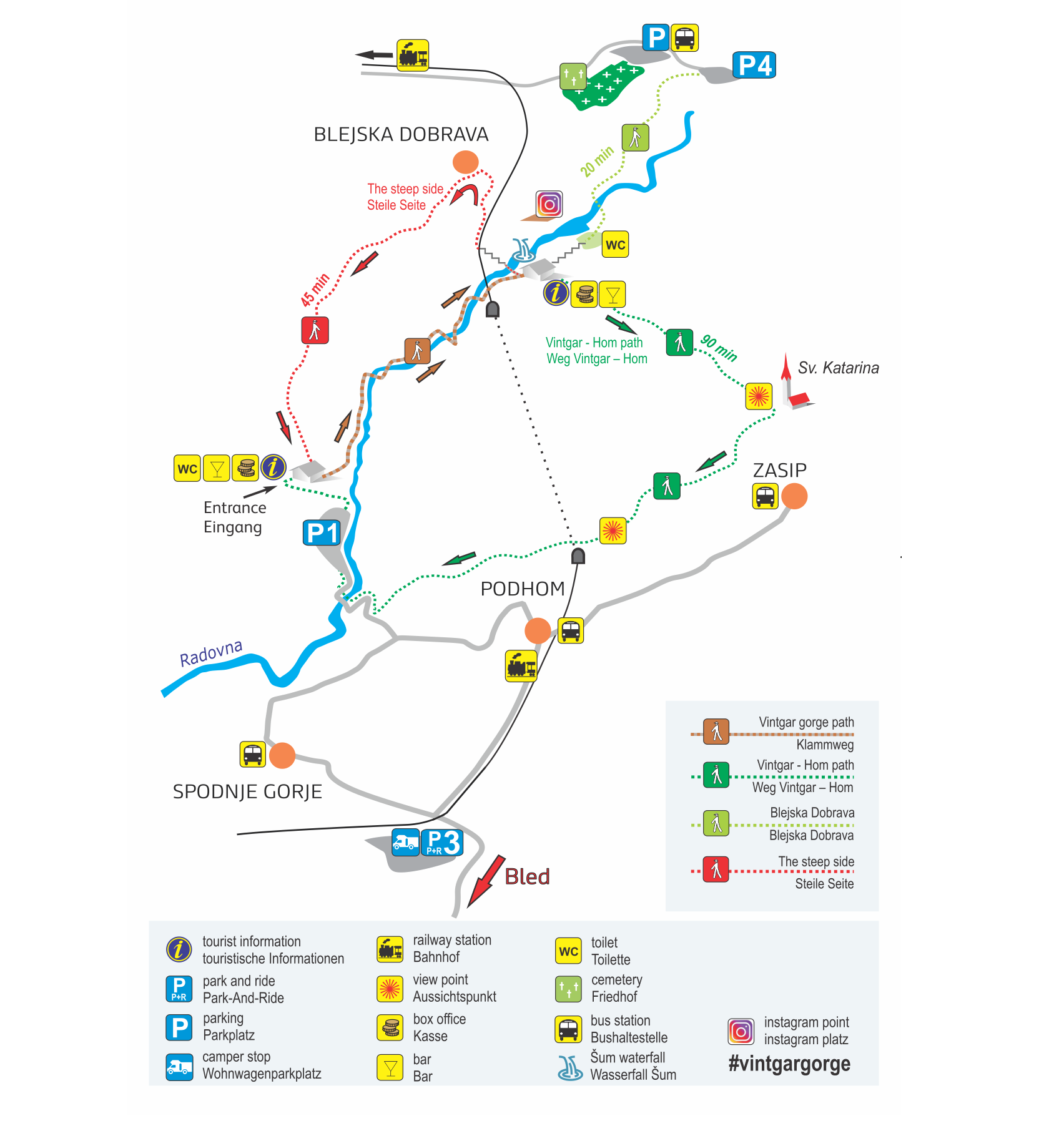
Sum Waterfall Hike – overview of hiking trails around the gorge. Copyright www.vintgar.si
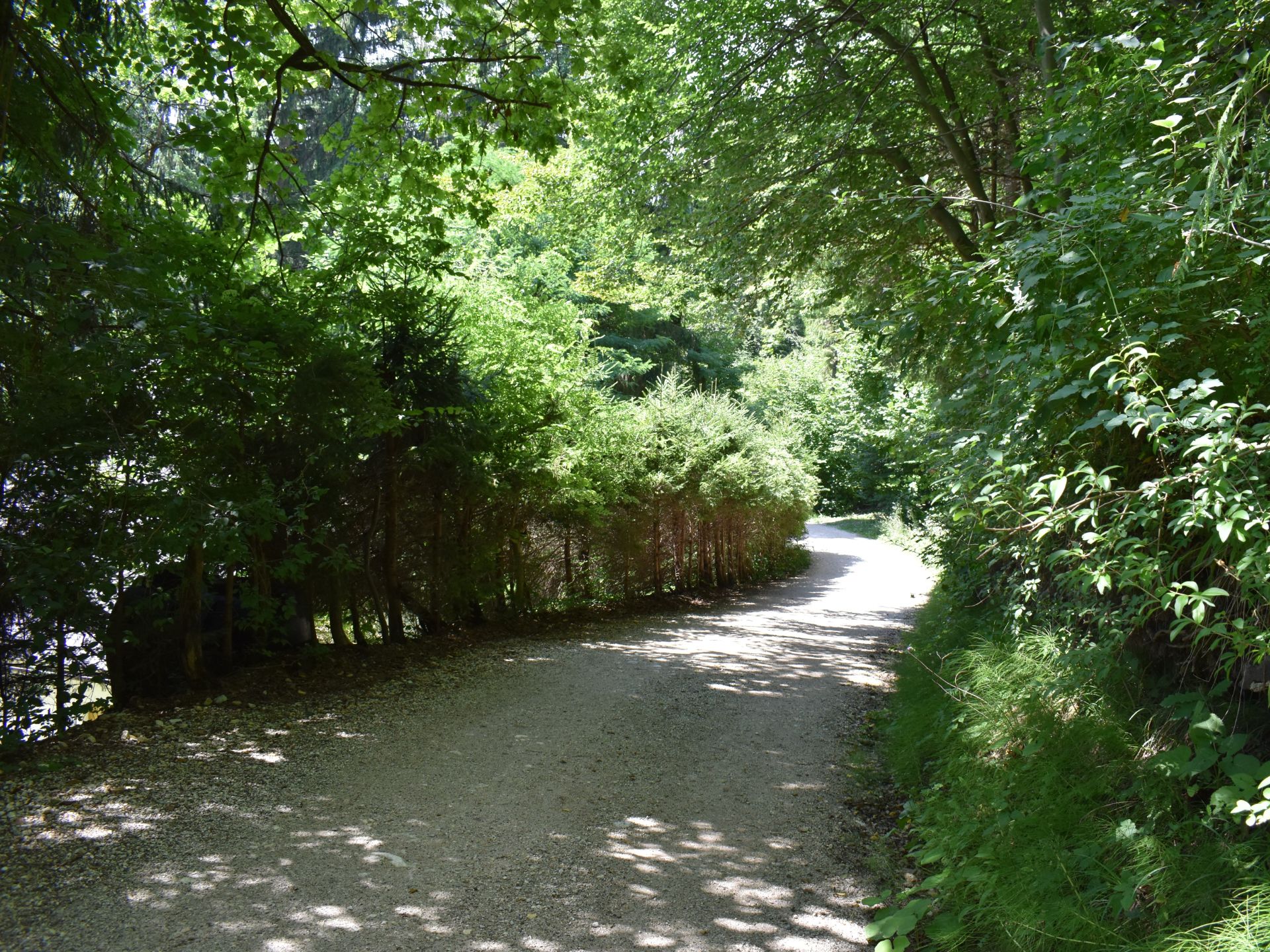
Sum Waterfall Hike – dirt road after cemetery parking lot
Sum Waterfall Hike – take a short detour to the right for the best photo options of the waterfall
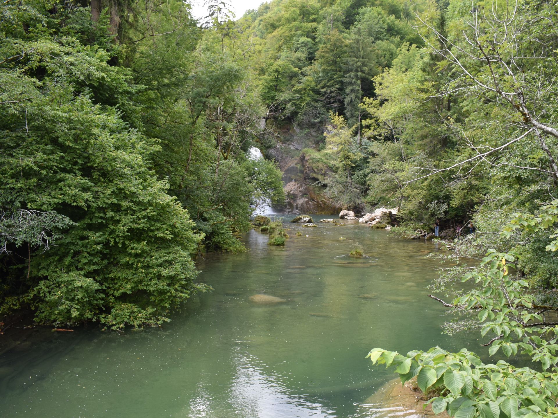
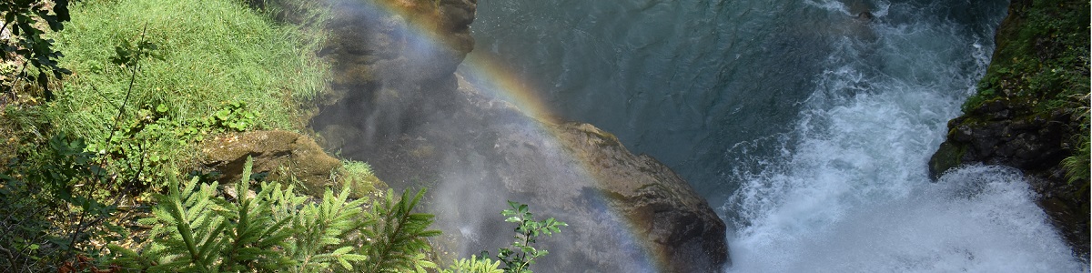
Sum Waterfall Hike – view of the waterfall from big bridge
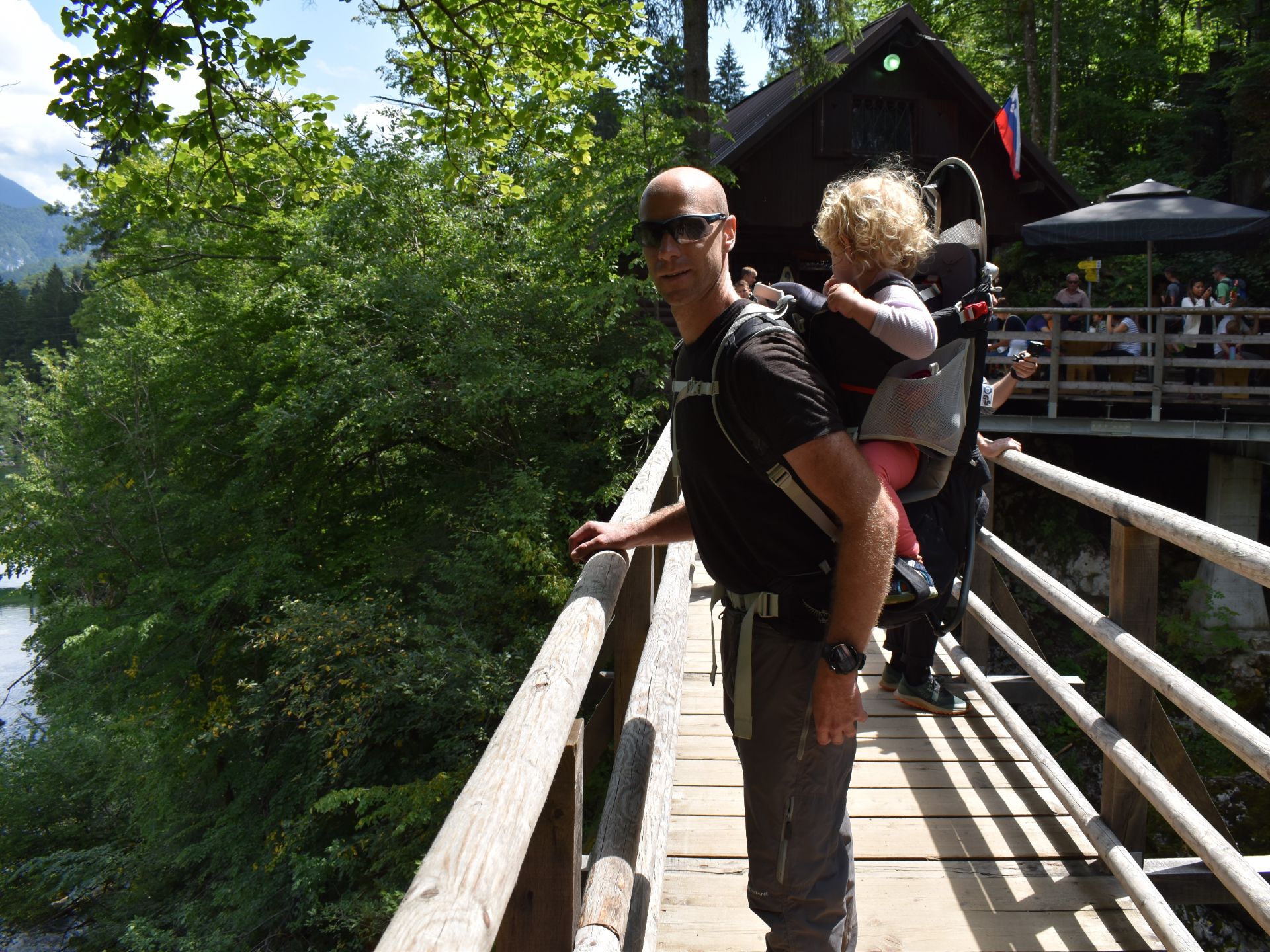
Sum Waterfall Hike – footbridge over the waterfall
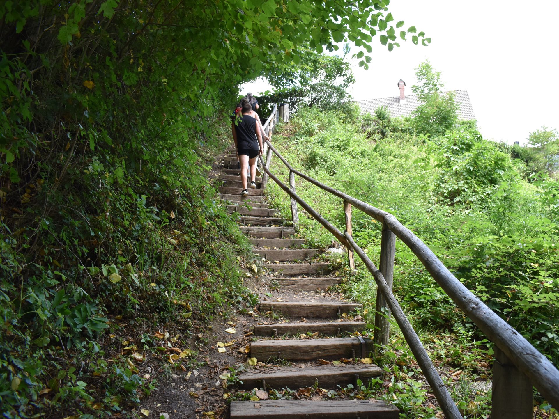
Sum Waterfall Hike – approaching the end of the forest path
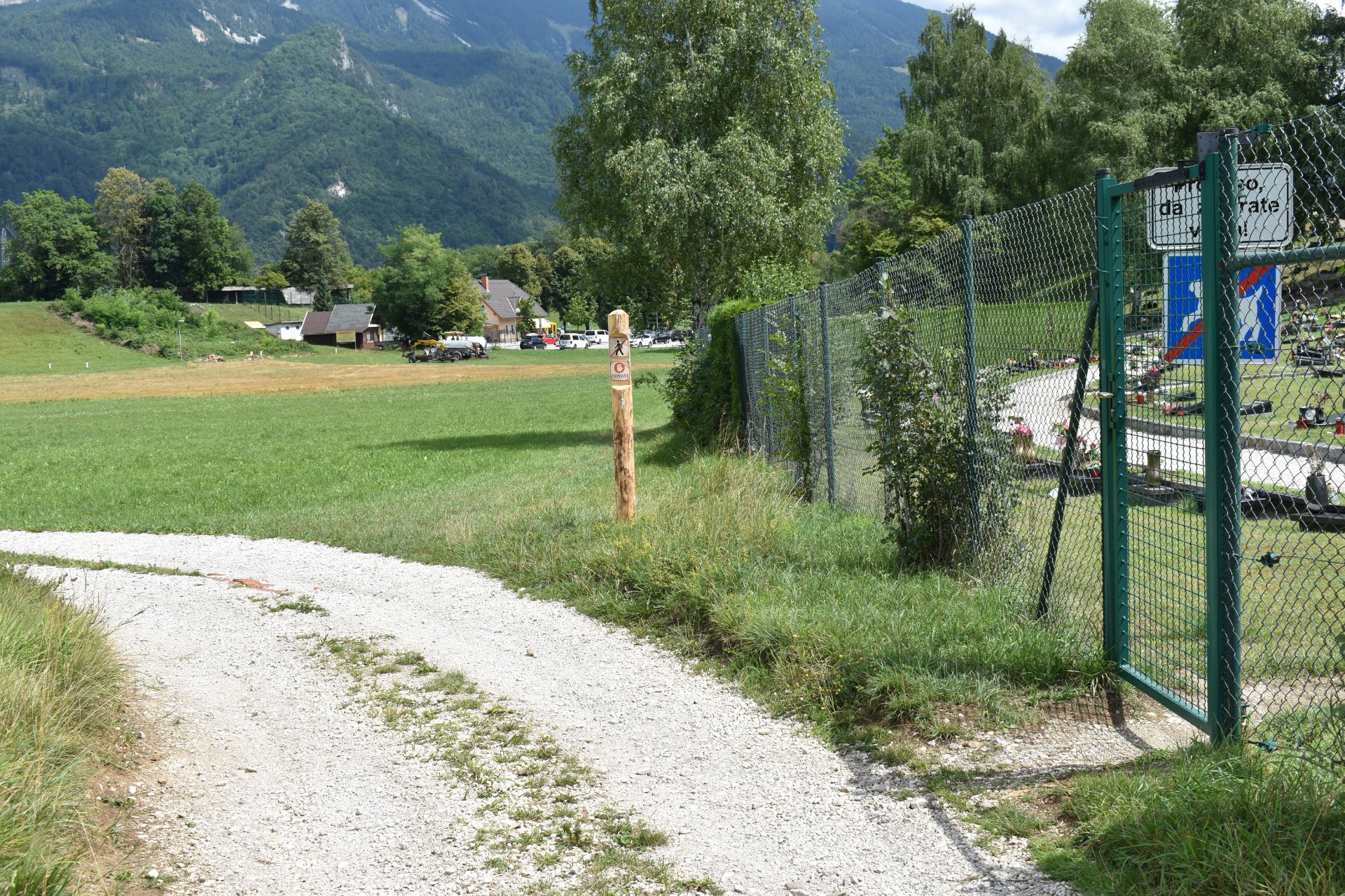
Sum Waterfall Hike – entrance to the cemetery from the dirt road
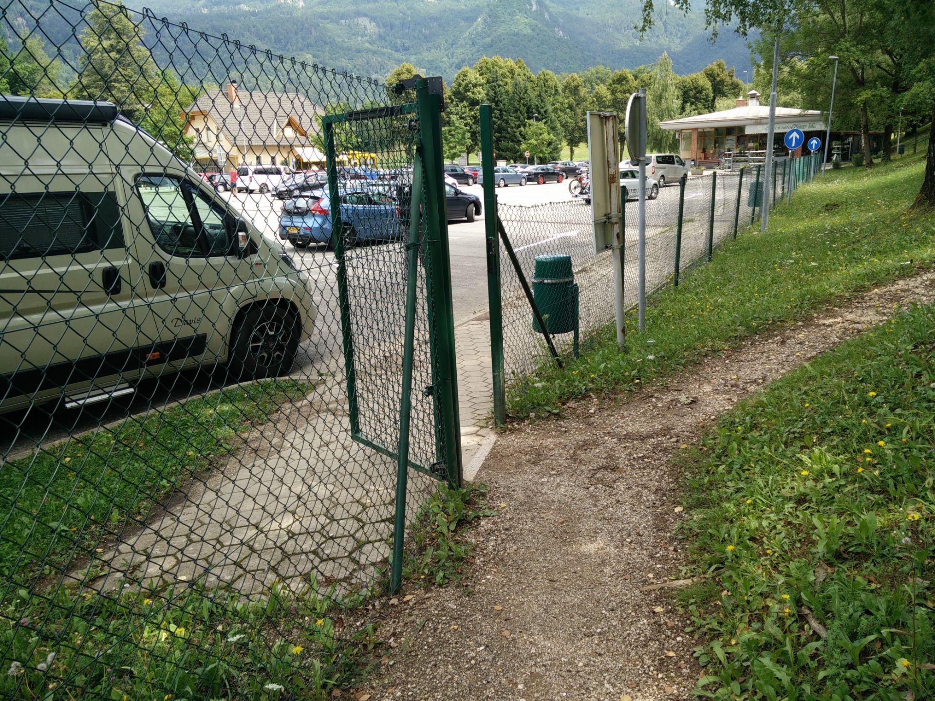
Sum Waterfall Hike – here you exit from the cemetery
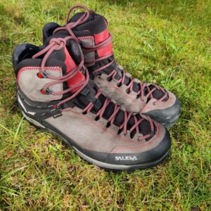
Equipment
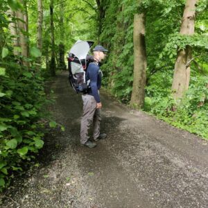
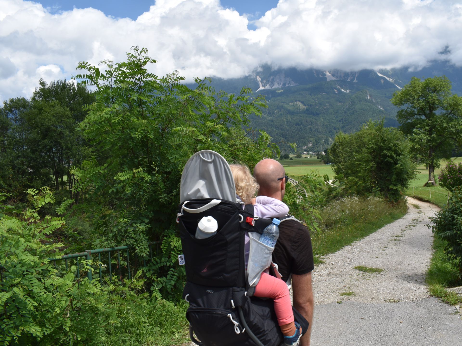
I was wearing my Icebreaker Tech lite t-shirt, Montane TerraPack pants, Danner Trail 2650 GTX hiking shoes and a cap for sun protection, while carrying our daughter in the Osprey Poco child carrier backpack.
Equipment under scrutiny
Osprey Poco Child Carrier Backpack
Osprey Poco Child Carrier on Sum Waterfall trail
The Osprey Poco child carrier backpack also performed great for this hike. The suspended mesh of the back panel made sure that my back was ventilated on this warm day, where pack + child + supplies equaled almost 20 kilos of weight. Our daughter was comfortably shielded from the strong midday sun underneath the easy-to-set-up sun cover, but quickly demanded to have it down once we were more in shade so she could see what was going on around her. Read the full review of the Osprey Poco child carrier pack here.

Conclusion and photo gallery
Of course we wanted to go Soteska Vintgar, but on the other hand it was a good replacement to hike to the Sum waterfall instead as there were much less people unlike the crowded gorge. We first met others as we approached the waterfall itself. The path after the waterfall is quite steep and rocky at places, where you might appreciate wearing proper hiking boots but otherwise you can also do this hike in casual footwear – provided that the path isn’t covered by snow or overly wet after heavy rainfall. Besides the bar at the Sum waterfall, you can also buy refreshments at the bar at the cemetery parking lot, called Tedy Bar.
Sum Waterfall Hike - view on the left of the big bridge
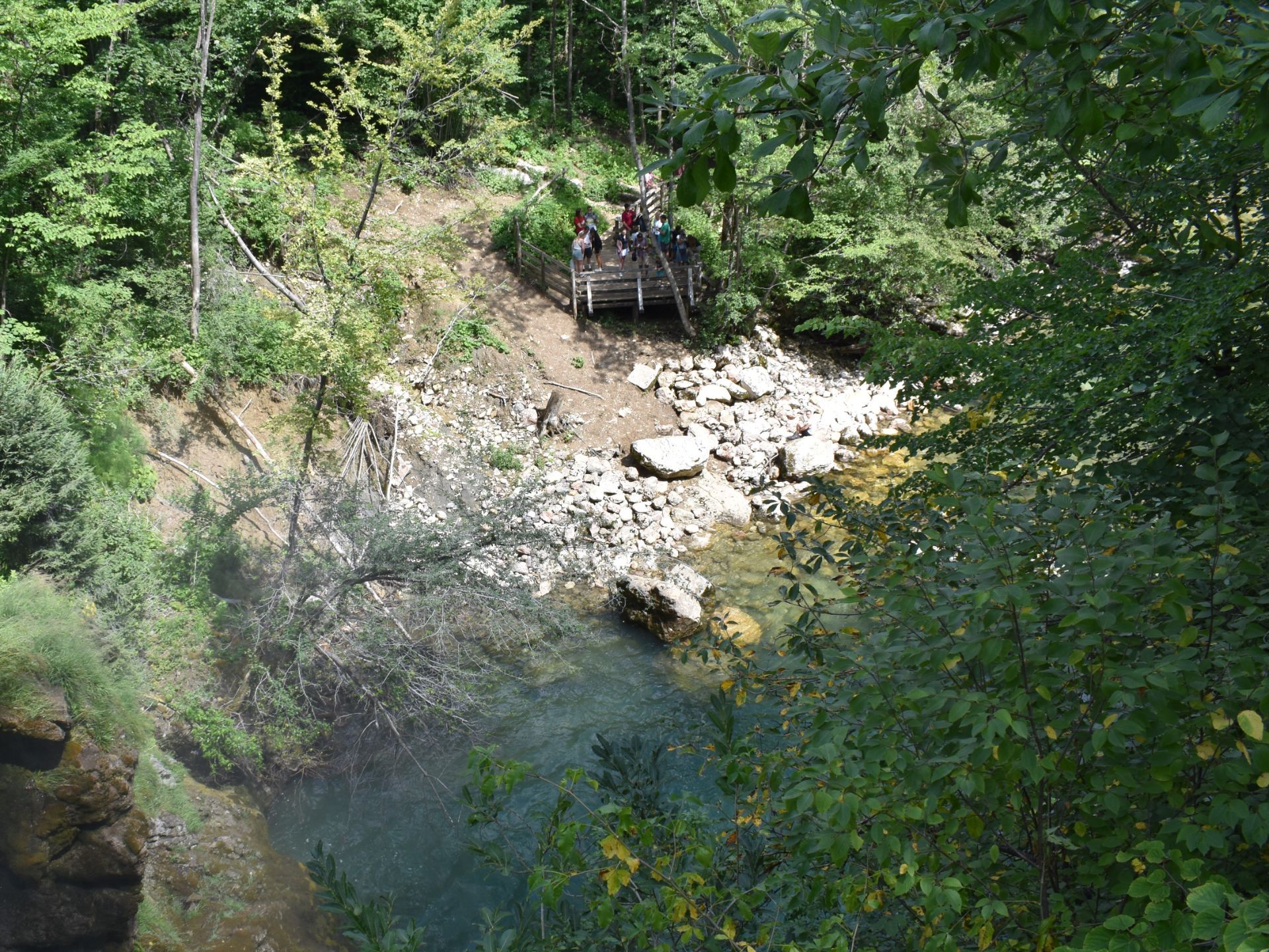
Sum Waterfall Hike - view from the footbridge down on the waterfall
Sum waterfall Hike - forest path back to Blejska Dobrava
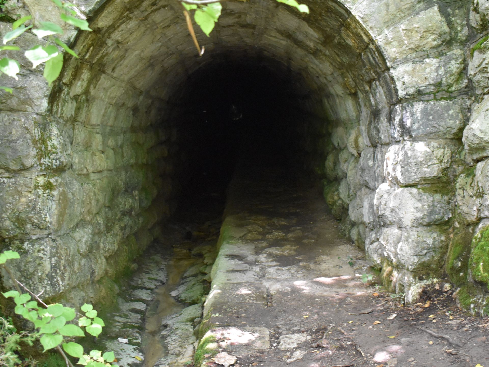
Sum waterfall Hike - old tunnel next to forest path
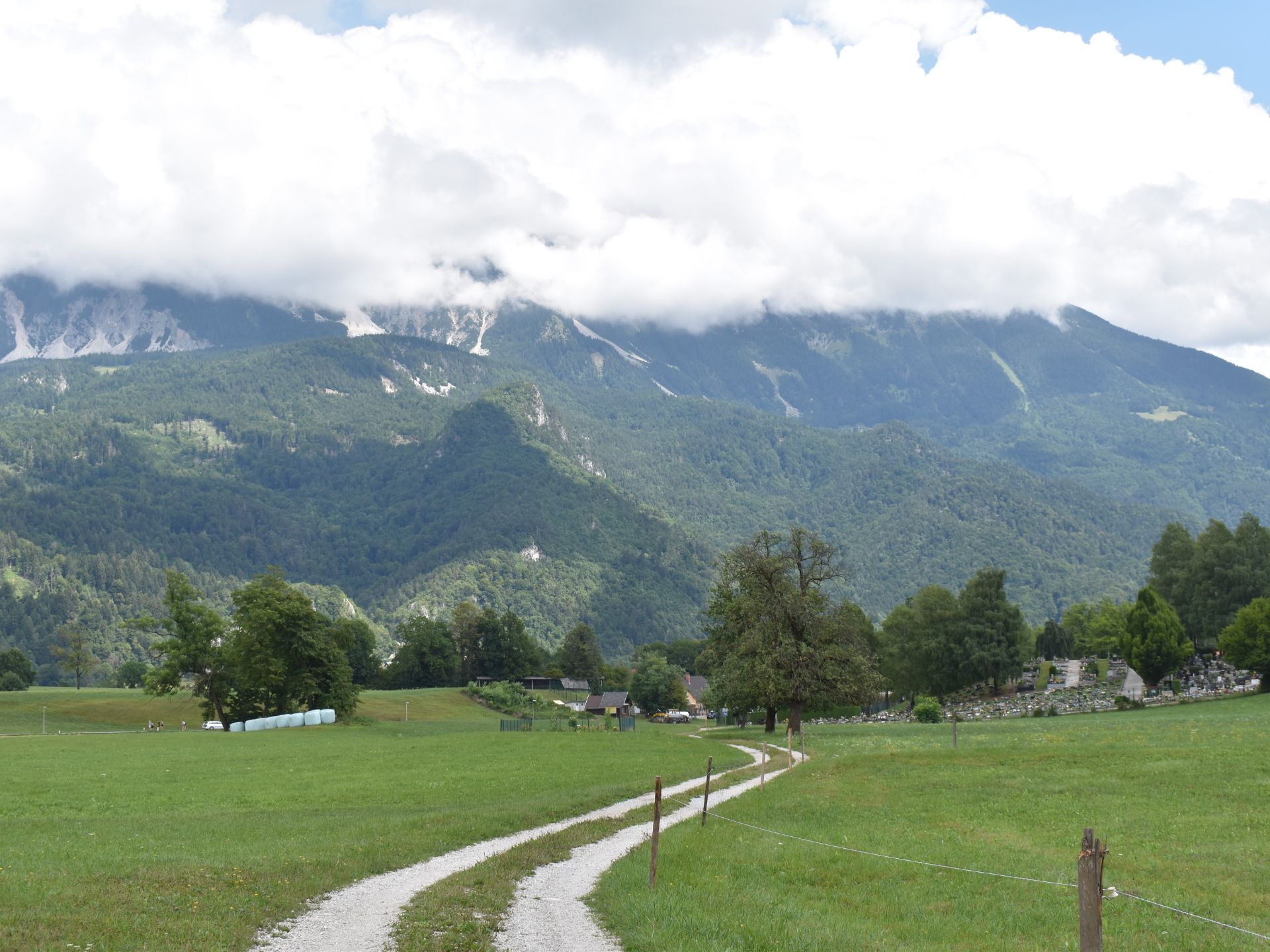
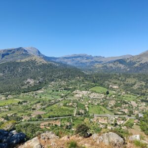
Sum waterfall Hike - dirt road towards cemetery, looking at the Karawanke mountain range
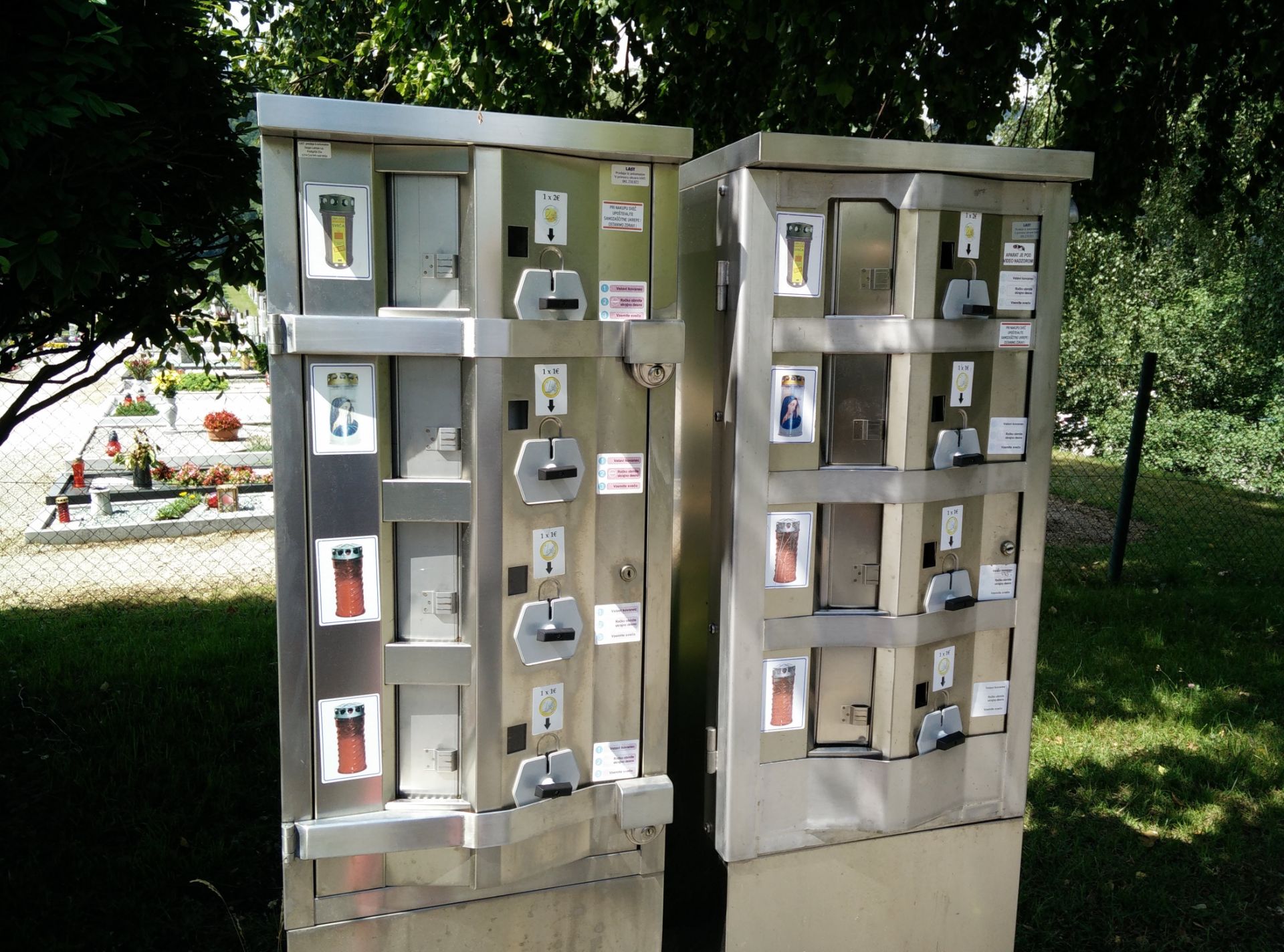
Sum Waterfall Hike - a curiosity in the shape of a cemetery candle automate
If you have any questions about this hike, please drop me a line in the comments below.