Puig de Sant Marti Hike on Mallorca
About the Puig de Sant Marti Hiking Trail
During the Easter holidays we were in Spain on the beautiful island of Mallorca. We had amazing weather and since the sea was still a bit too cold for swimming, we did a bit more hiking. We stayed approximately 2 kilometers south of Port d’Alcudia which turned out to be quite a good area for hiking, although some hikes required us to take public transport to the starting point.
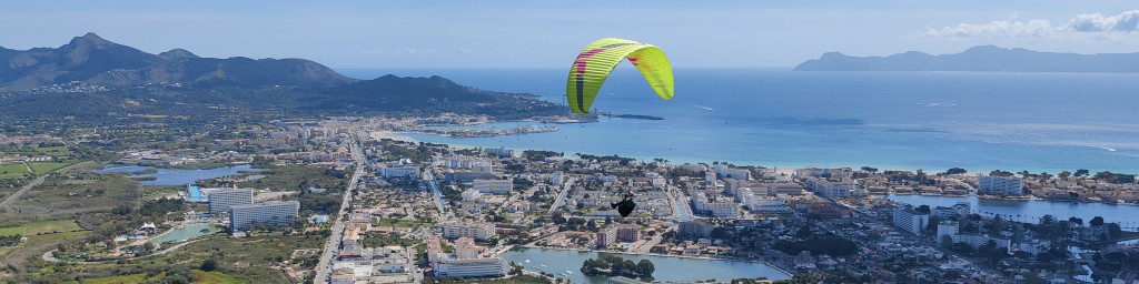
For our first hike we decided to climb Puig de Sant Marti which is a small mountain to the west of Port d’Alcudia. It has two peaks, one 249 meters high and another one which is 268 meters high. Since we were doing this hike with two kids, we decided to only ascend the 249 meters high peak. That peak is also a popular takeoff point for paragliders. Many took off when we were there, which was a great attraction for the kids.
Puig de Sant Marti Hiking Trail Details
Physical Difficulty
Medium
Technical Difficulty
Easy
Duration
2 h 53 min
Distance
9.97 km
(6.2 mi.)
Ascent
259 m
(850 ft.)
Descent
231 m
(758 ft.)
Highest Point
249 m
(817 ft.)
Lowest Point
0 m
(0 ft.)
Date of the Hike Date when we did this hike ?
April 2025
Weather On the day when we did this hike ?
Mostly Sunny
Temperature On the day when we did this hike ?
20° C
(68° F)
Wind On the day when we did this hike ?
18 km/h
Puig de Sant Marti Hiking Trail GPS Route and Trail Description
*Click on the chart to see the location on the map
GPX route helps you with the navigation on a hike. It can be used with a smartphone, handheld GPS device or a GPS watch.About GPX Route
Reaching the starting point
We started this hike directly from our hotel which was near Alcudia Beach (Platja de Alcudia) – see the exact location on the map above or by clicking on the “directions to the starting point” button. If you’re arriving by bus, you should get off the bus at the Pla del Pinar 1 or Pla del Pinar 2 bus stop. The buses that stop there are 302, 324, 315, A32 and 327. These buses all serve the Alcudia area:
- Bus 302 runs between Palma and Port de Pollença, passing through Alcudia.
- Bus 315 connects Can Picafort and Port de Pollença, also stopping along Alcudia Beach.
- Bus A32 is the airport line, a convenient option if you’re coming directly from Palma Airport — it runs via Inca and Alcudia to Port de Pollença.
- Bus 324 links Alcudia with Sa Pobla and Muro
- Bus 327 connects Alcudia with nearby towns in the north of the island.
You can check current timetables, routes, and fares on the official TIB website at www.tib.org, or by using Google Maps. During summer, buses run frequently, but outside the high season, it’s best to check departure times in advance as the service may be less regular. When you’re travelling by bus you pay by tapping your credit card on the device when getting on the bus and when leaving it.
Trail Description
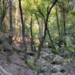
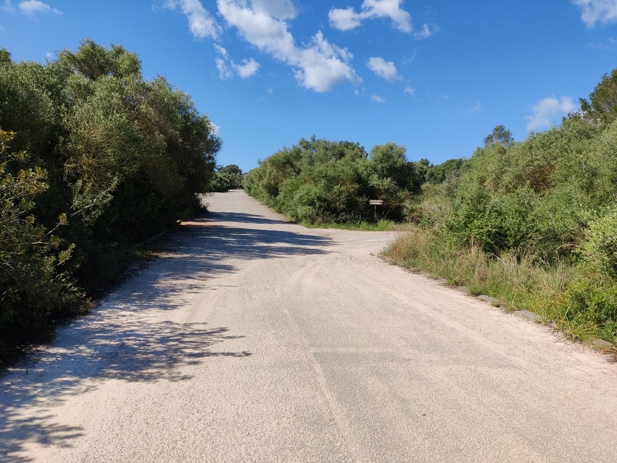
From the starting point, head southwest to reach Carrer Can Vauma, then continue south along this street. Soon you’ll pass tennis courts and a go-kart track on your right. Here, the paved road turns into a wide gravel road. Follow it for about 300 meters, then turn right onto another wide gravel road. Continue straight for another 300 meters until you spot a narrow dirt track on your right — take this turn. After roughly 100 meters, you’ll reach Cova de Sant Martí, a small religious shrine and grotto set in a 20-meter-deep hollow. The cave dates back to the 13th century and is one of the oldest Christian sites on Mallorca. When we visited, it was closed due to a risk of landslides, so we could only see it from the outside.
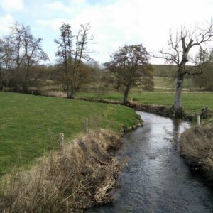
From the shrine, continue straight ahead, following the dirt track. Soon you’ll reach a busy asphalt road that needs to be crossed. Take care here, as cars travel fast in both directions. Once across, the path widens slightly and begins to ascend gently toward the northwest. The surroundings become quieter, with sparse pine trees and views opening toward Alcudia Bay. After about 1.2 kilometers, you’ll reach a crossroad where there is a stone wall on your left.
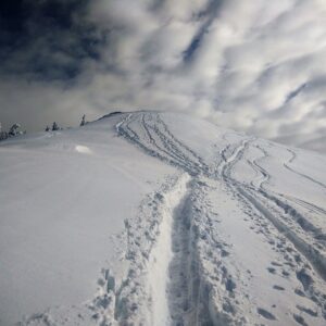
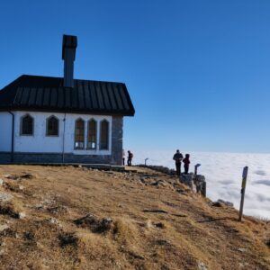
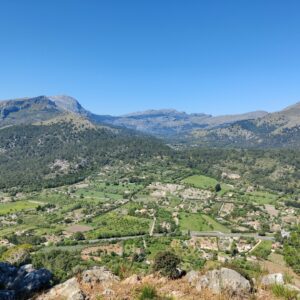
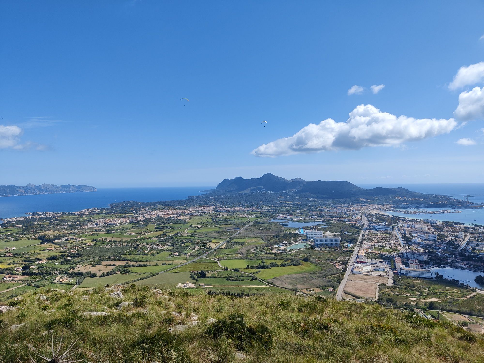
At this junction, turn right onto a narrow asphalt road that climbs steeply to the east. The ascent is steady but short, offering occasional glimpses of the coastline below you. After a bit more than one kilometer, you’ll reach the summit of Puig de Sant Martí (249 m). From the top, you’re rewarded with a panoramic view over Alcudia, Port d’Alcudia, Pollenca, and the higher mountain range to the north, including Puig de Can Groc. It’s an ideal spot to rest, enjoy a snack, and take in the scenery. If you’re lucky with the weather, you’ll also see paragliders taking off from the peak. We stayed there for a while since our two kids enjoyed seeing paragliders.
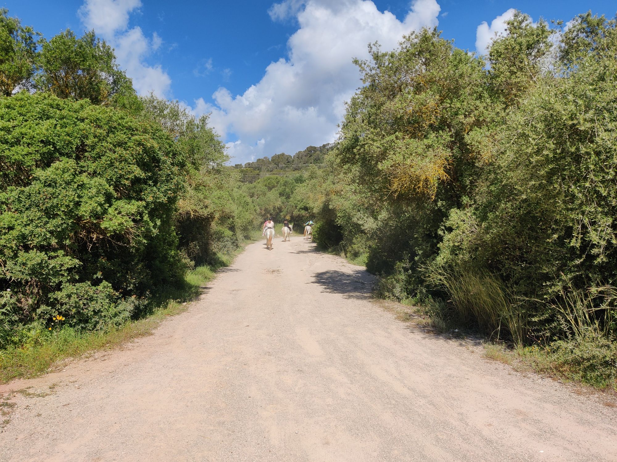
Puig de Sant Marti Trail – Wide Dirt Road
Puig de Sant Marti Trail – Turning right towards the shrine
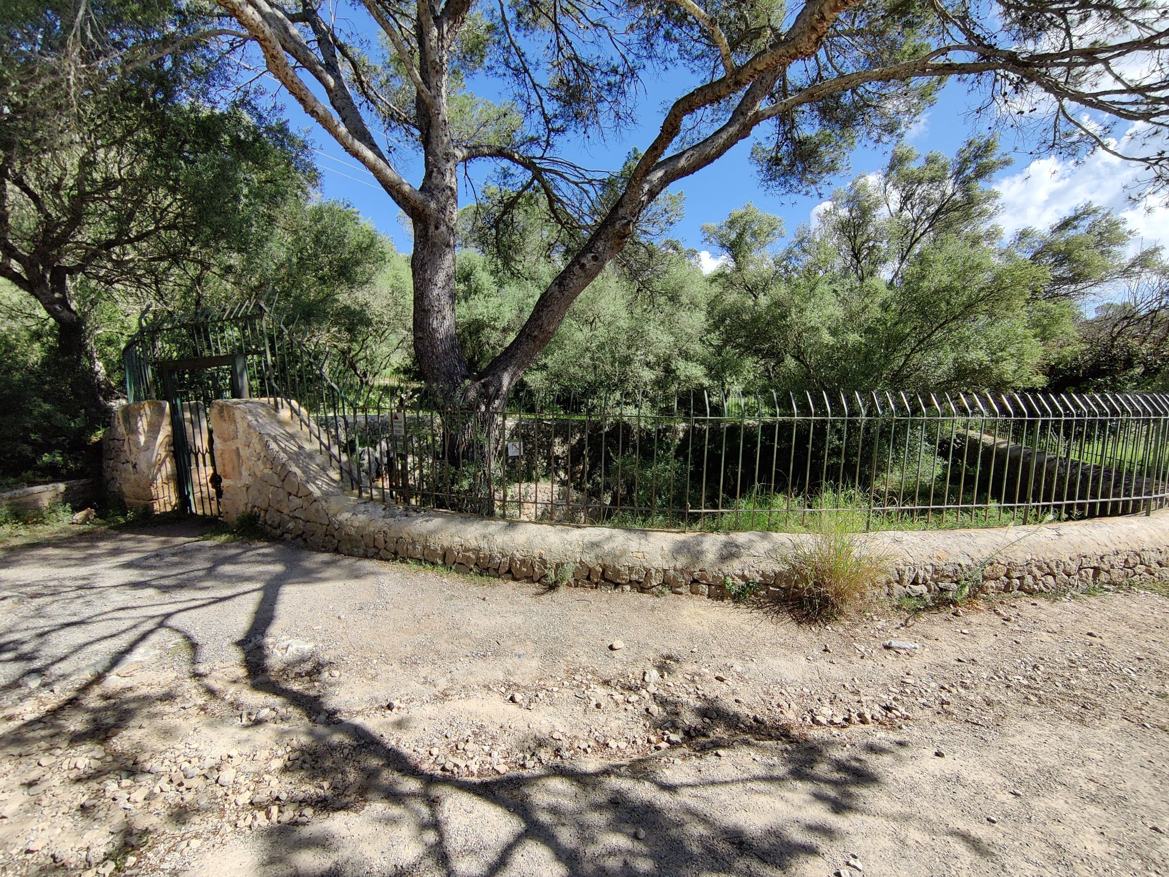
Puig de Sant Marti Trail – The shrine
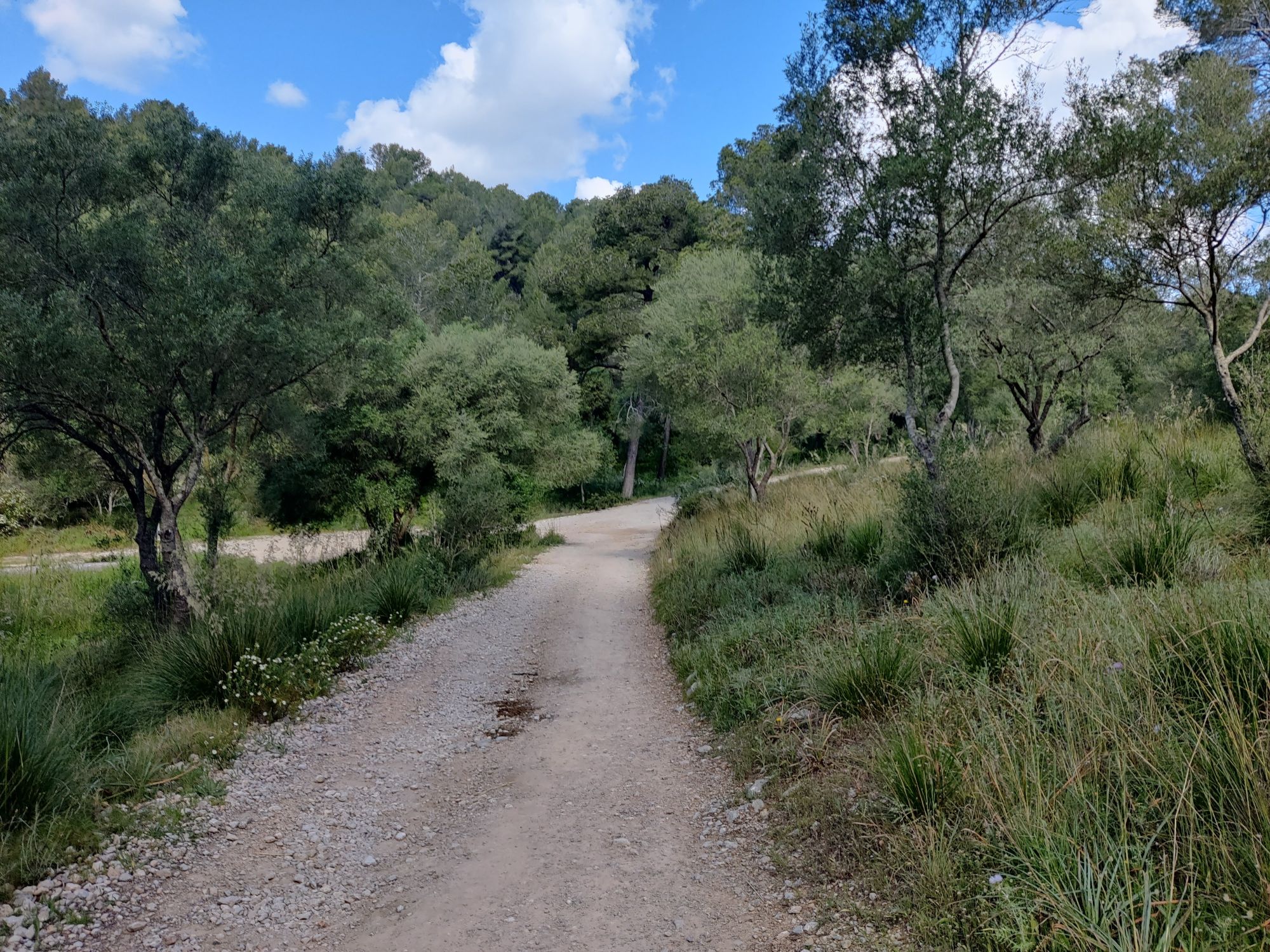
Puig de Sant Marti Trail – The path between the shrine and crossroad where you go on asphalt road
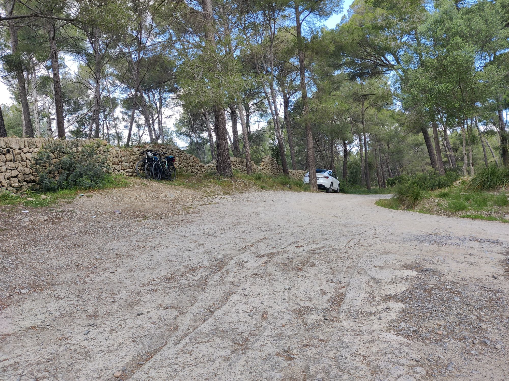
Puig de Sant Marti Trail – Crossroad were you should go right
Puig de Sant Marti Trail – View from the top
Equipment
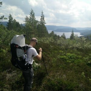
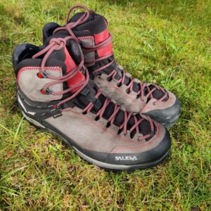
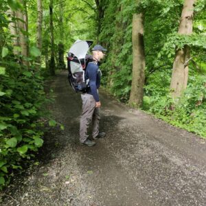
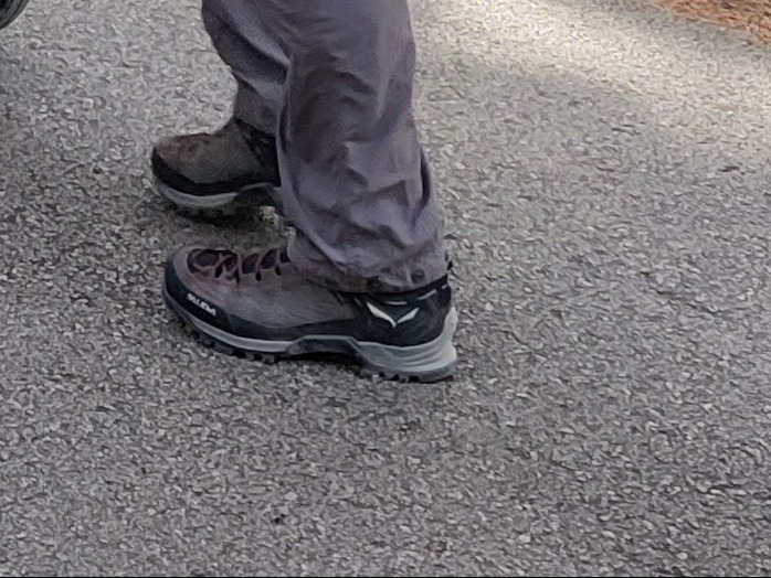
On this hike I was wearing the Montane Terra Pack pants, Icebreaker Tech Lite merino t-shirt and my new Salewa Mountain Trainer 2 Mid GTX hiking boots. I carried our son in the Osprey Poco backpack while my wife carried supplies in CamelBak Rim Runner daypack. At the top I also wore my Mammut Aconcagua ML fleece jacket since it got a bit chilly.
Equipment under scrutiny
Salewa Mountain Trainer 2 Mid GTX Hiking Boots
Salewa Mountain Trainer Mid 2
I bought the Salewa Mountain Trainer 2 Mid GTX boots last year after my old pair of Mountain Trainers finally gave up after nine years of regular use. At first, I was a bit worried that the boots wouldn’t be as good as the previous model. However, I was wrong. The boots are great. They’re best for difficult and rocky trails. For this hike, I chose them mainly because I was carrying a heavy child carrier pack, and I wanted maximum stability and support.

Conclusion and photo gallery
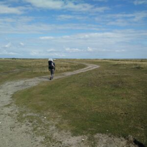
The Puig de Sant Martí hike turned out to be a great adventure. At around 10 kilometers, it was just on the limit for our kids (especially the oldest one who wasn’t carried in child carrier pack), but a break at the summit, where they could watch the paragliders take off, made it manageable and fun. This peak can also be reached by stroller/pram as the paths are wide enough. Nevertheless, for that I’d recommend a stroller with inflatable tires.
The route is easy to follow and offers a pleasant mix of gentle dirt tracks, quiet asphalt roads, and a short but rewarding climb at the end. The view from the top is absolutely worth it, especially on a clear day when you can see across the Bay of Alcúdia and all the way to the Tramuntana Mountains.
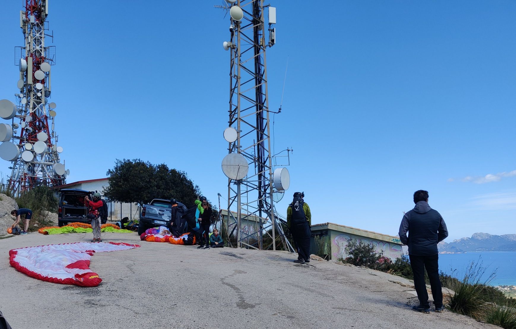
Puig de Sant Marti Trail - Paragliders getting ready at the top
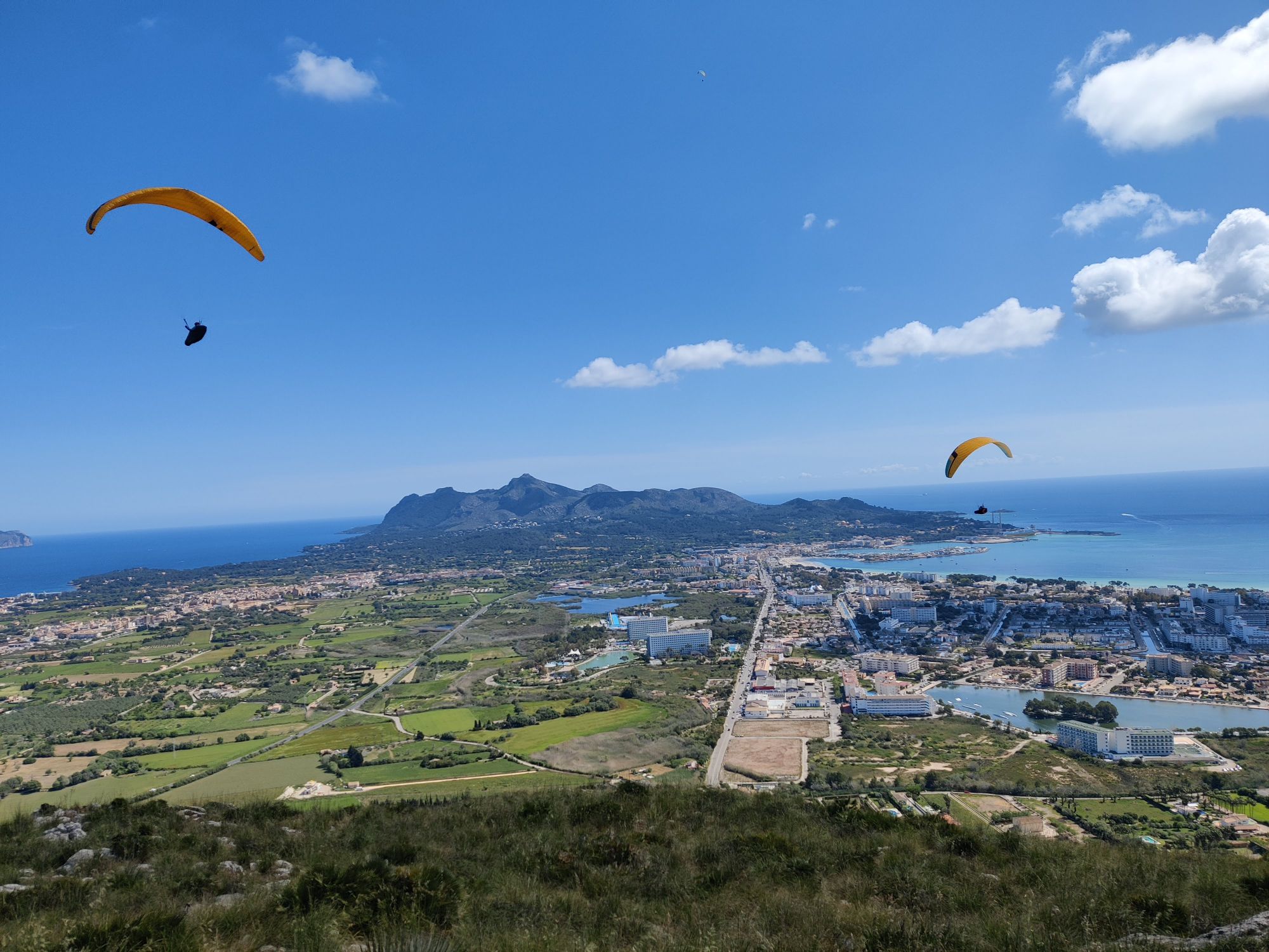
Puig de Sant Marti Trail - Paragliders
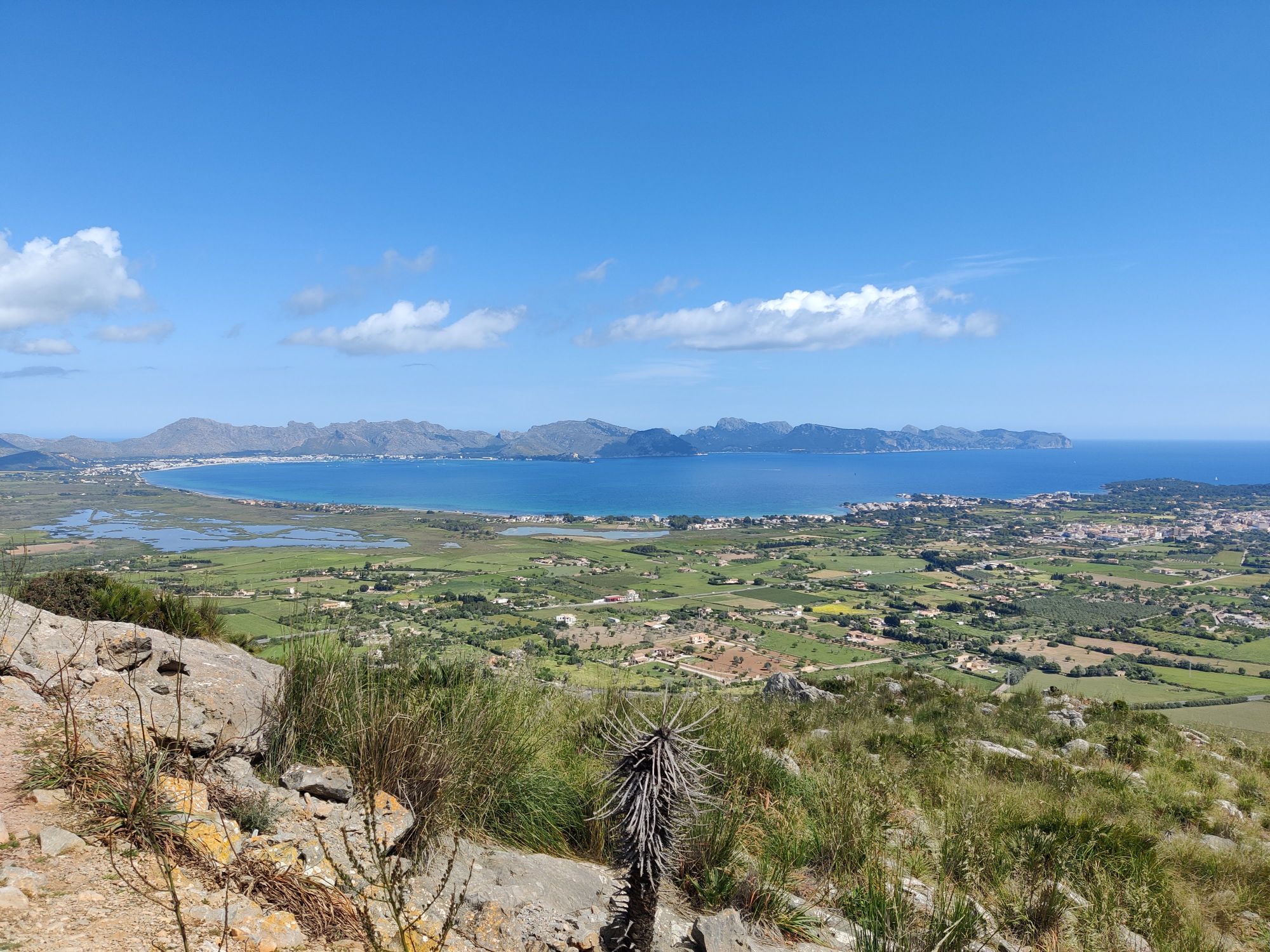
Puig de Sant Marti Trail - View towards west
If you have any questions about this hike, please drop me a line in the comments below.