About the Samsø Nordby Bakker Hiking Trail
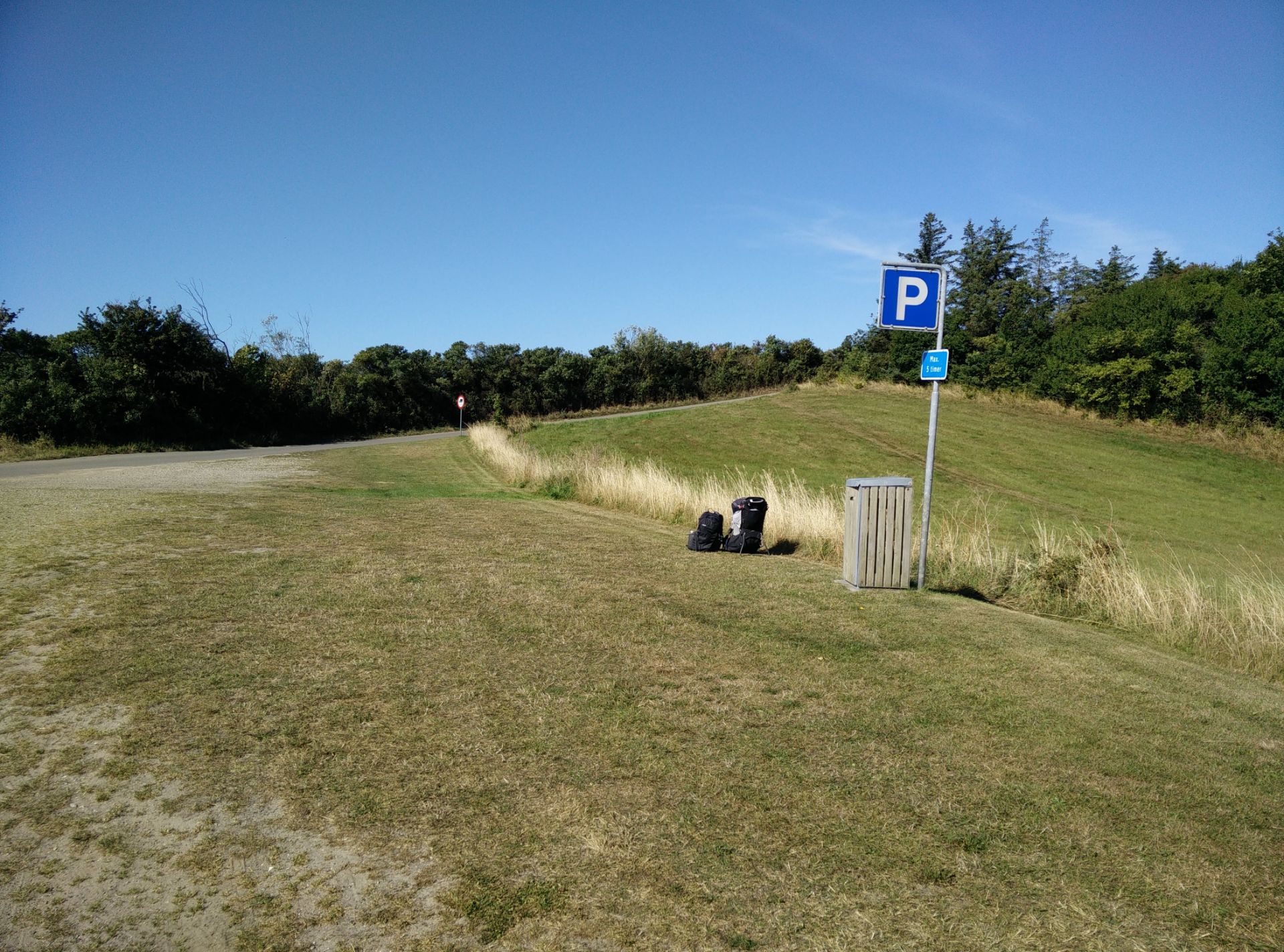
Denmark has several hundred islands, of which about 70 are inhabited. The island Samsø is nicknamed “the island in the middle” as it is placed in between the peninsula Jutland and the two largest islands Funen and Zealand. The northern part of the long and narrow island is less settled than the southern and 480 ha of the tip is protected landscape with its rolling hills (called Nordby Bakker), reminiscent of the national park Mols Bjerge where we have also hiked. We decided to go to Samsø on a sunny day in September, and started our hike at the small lighthouse called Ballebjerg Fyr and ended it at the small belltower in the Nordby village. If you want to make it into a circle trip and finish at the lighthouse as well, the hike will be 2 kilometres longer. In any case, the starting point is at the parking lot (free of charge) at Ballebjerg Fyr, and our trail is mostly marked out. You are welcome to download the GPX trail below (you can learn how to use it here) and follow in our footsteps.
Samsø Nordby Bakker Hiking Trail Details
Physical Difficulty
Easy
Technical Difficulty
Easy
Duration
3 h 10 min
Distance
11.11 km
(6.9 mi.)
Ascent
156 m
(512 ft.)
Descent
195 m
(640 ft.)
Highest Point
60 m
(197 ft.)
Lowest Point
0 m
(0 ft.)
Date of the Hike Date when we did this hike ?
September 2021
Weather On the day when we did this hike ?
Mostly Sunny
Temperature On the day when we did this hike ?
18° C
(64° F)
Wind On the day when we did this hike ?
10 km/h
Samsø Nordby Bakker GPS Route and Trail Description
*Click on the chart to see the location on the map
GPX route helps you with the navigation on a hike. It can be used with a smartphone, handheld GPS device or a GPS watch.About GPX Route
Reaching the starting point
You can reach Samsø by ferry from three different places – Kalundborg on Zealand and Aarhus and Hou on the mainland (Jutland). You can bring a car, but it is of course more expensive. You always need to book ahead of departure. Now, if you do bring a car you can of course drive up to the starting point at Ballebjerg Fyr (parking free of charge) from the Sælvig harbour by following the main road Havvejen up north for 13 kilometres till you reach the village called Nordby. At the beginning of the village you should take the road called Vestre Ringvej on your left and follow it till you reach a T-cross where you go to the left onto Ballebjergvejen and follow it for about 2 kilometres till you reach the parking lot at Ballebjerg Fyr. We would, however, strongly recommend you to not bring a car to Samsø as the lack of traffic is exactly part of the island’s charm.
We ourselves chose to drive to Hou, parked our car (free of charge) and went on the ferry on foot. You can also reach your harbour of choice by public transport – check and plan your route on Rejseplanen.dk (also in English). Once you reach the Sælvig harbour on Samsø, there is about 17 kilometres up to the starting point (23 kilometres if you arrive at Ballen harbour from Zealand). You have different options for going by public transport depending on the time of your arrival. There is only a regular bus service during the school summer holiday (weeks 26-31) where the island is brimming with tourists, and the rest of the year there is a ‘school bus’ which is free of charge for all to use in the morning and afternoon during workdays. If you, like us, go hiking during a weekend you should instead use the island’s telebus system, which works much like a shuttle bus but is very affordable as it drives you from one address on the island to another for only 30 DKK/4EUR per person (15 DKK per child). The only downside is that you must call and order it at least 2 hours in advance (45 minutes if you are coming by ferry), and of course wait for it to take on and drop off other passengers on the way.
We were, however, very satisfied with the concept as we made it to the starting point by bus in about 30 minutes compared to the 20 minutes it would take by car.
Trail
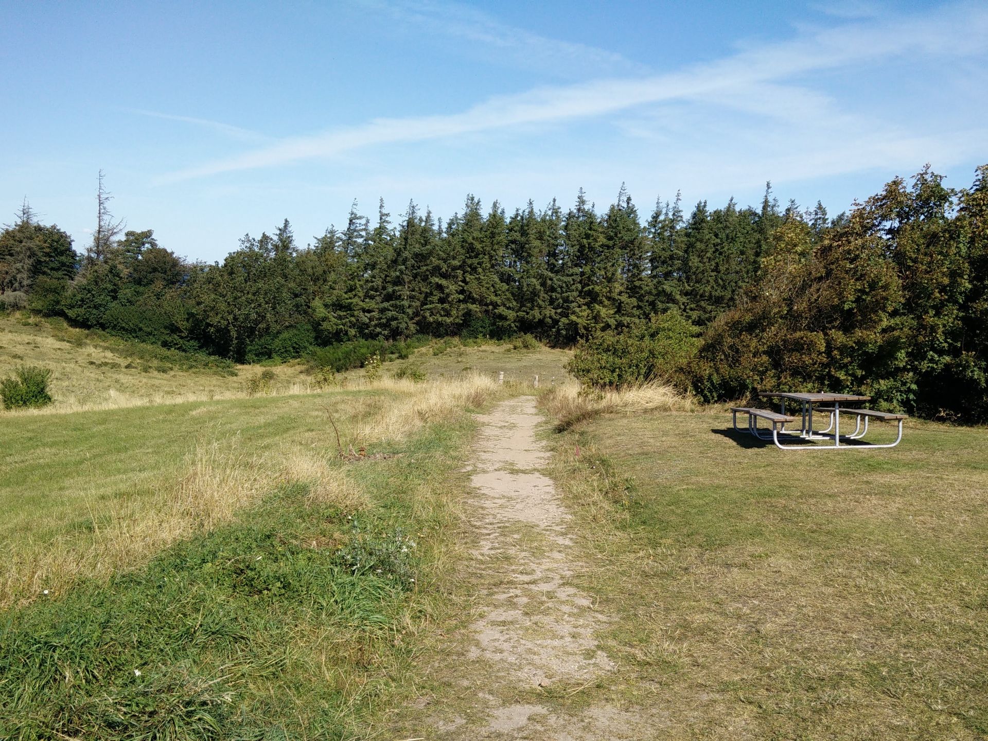
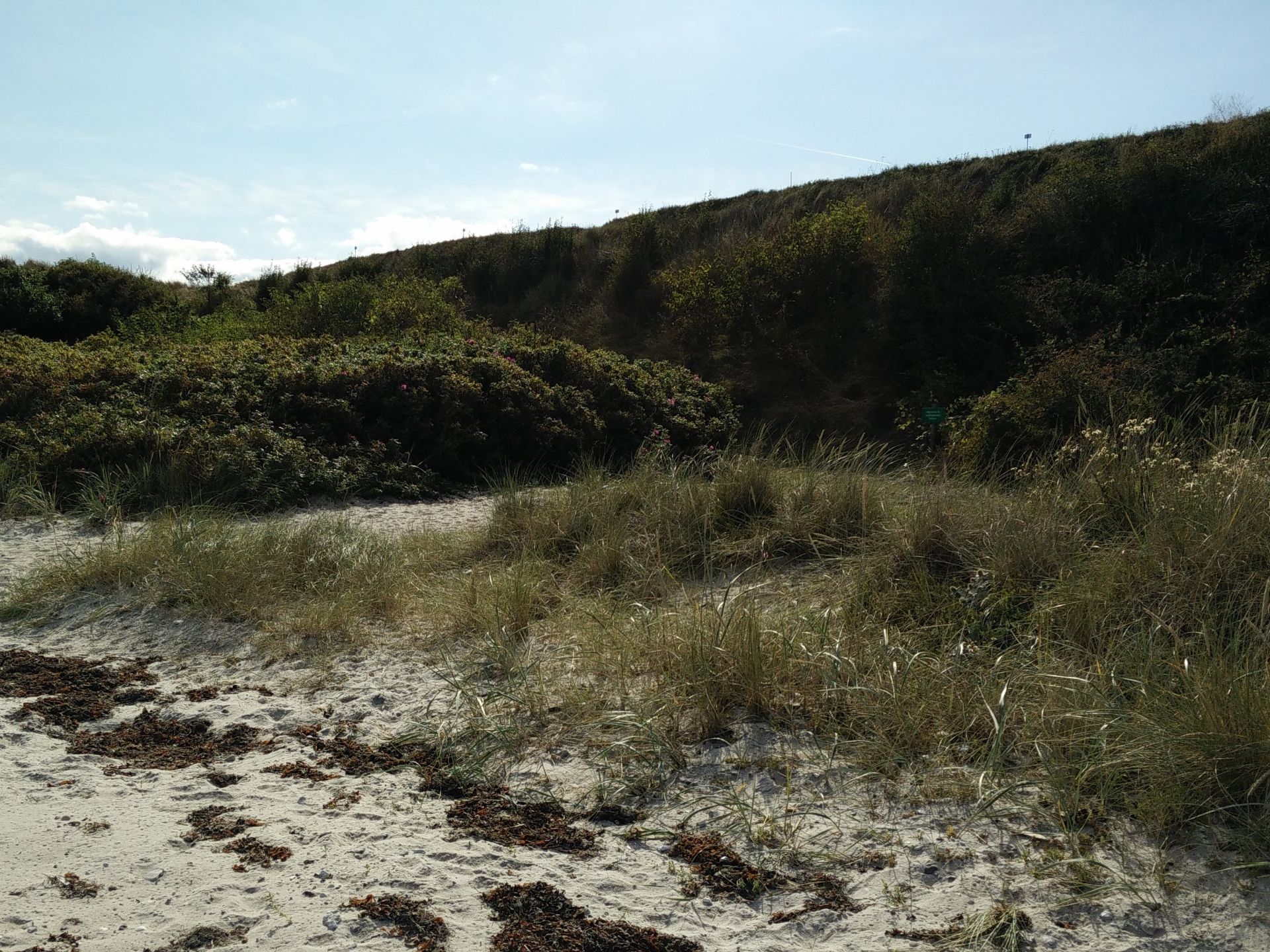
The trail starts at the lower parking lot at Ballebjerg Fyr, where we got dropped off by the telebus (it doesn’t drive on dirtroads). From here, we followed the small paved road leading up to the picturesque lighthouse from 1920 with a magnificent view on the sea and Tunø (where we also hiked in fall – stay tuned). After taking some photos, we followed the foot path north of the lighthouse marked with bright green triangles. The path quickly bends towards east, and then ends at narrow dirt road which you should follow towards north with the forest on your right for about 100 metres, until it divides into two. At the road fork, you should choose the right one, meandering northeast, but there should be a bright green triangle showing you the way. After 250 meters the dirt road will narrow into a footpath, and you will enter a small forest.
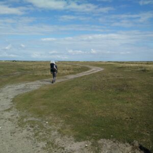
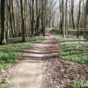
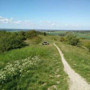
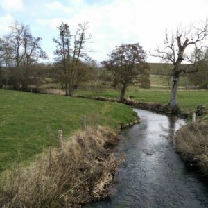
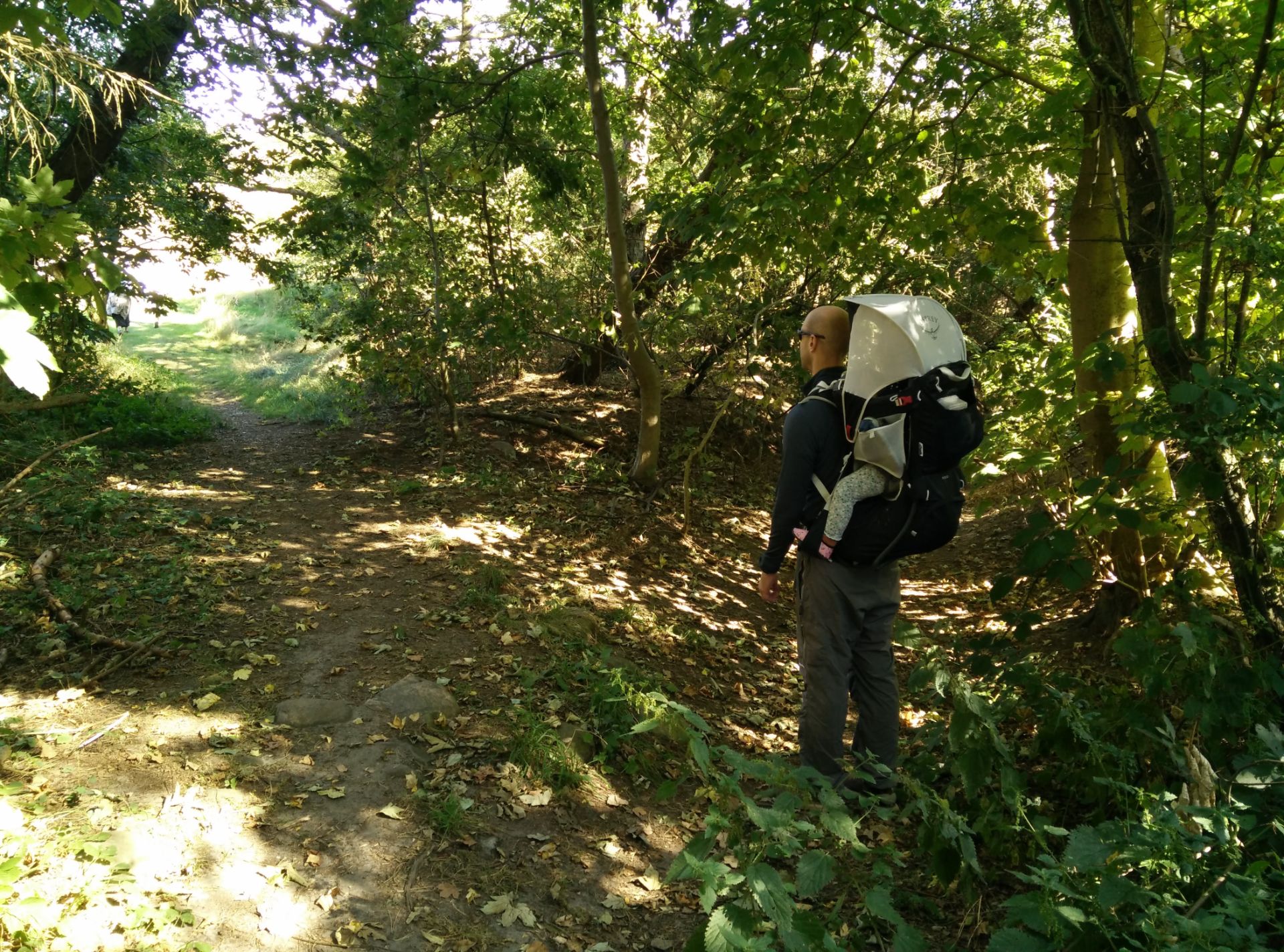
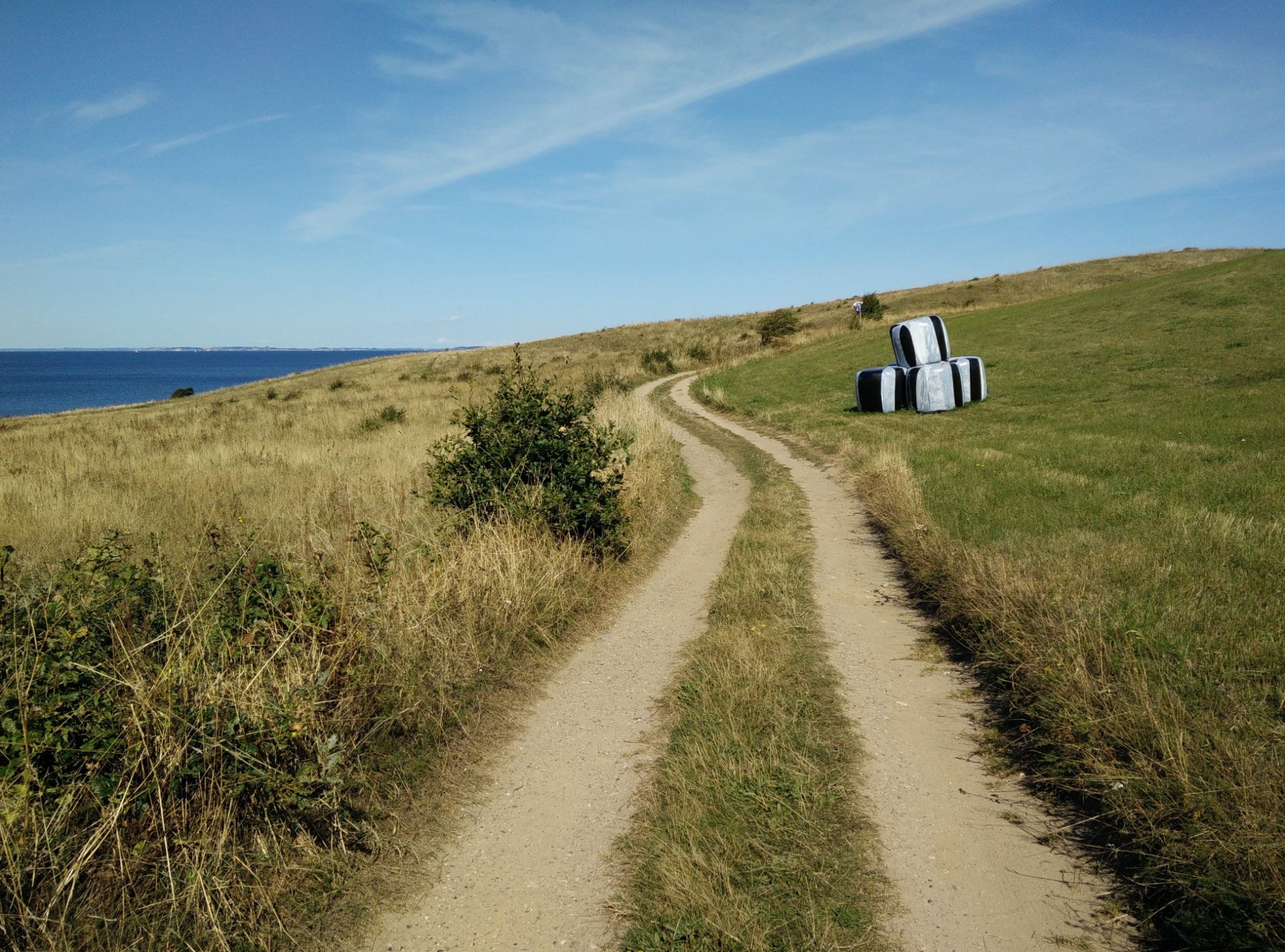
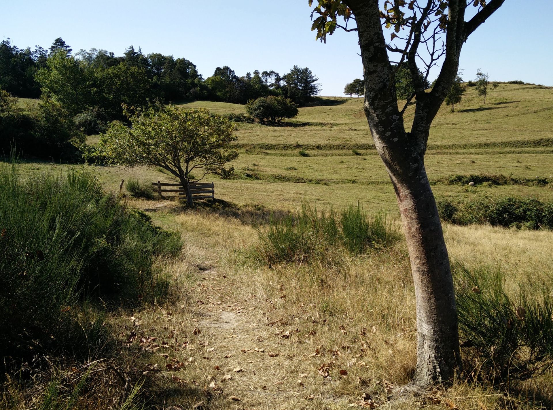
Here the footpath divides into two, and you should choose the left one leading immediately out of the woods, not the right one which is descending down (see image). When you come out in the open, you should enter through the small gate (marked with a green triangle) into the livestock pasture in front of you. Then, you follow the markers with green triangles on the path northeast through a landscape with rolling hills and an amazing view on the sea. After walking 1.5 kilometres altogether, the path descends rapidly down a hill towards a narrow paved road, where you will also exit through the livestock gate. On the other side you will find some picnic tables, if you want to make a quick stop. From here you walk north for 200 meters on the paved road called Langdalen, and then turn right onto the narrow dirt road called Lystoftevej. You quickly come to a crossroad, and here you should go to the left, once again heading north. After 500 metres you come to a road fork and you should continue straight, going north.
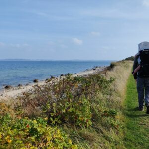
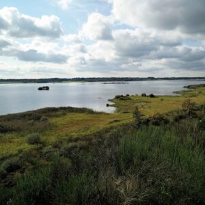
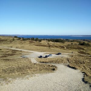
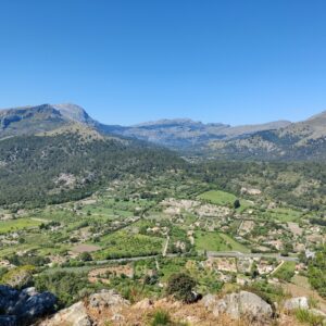
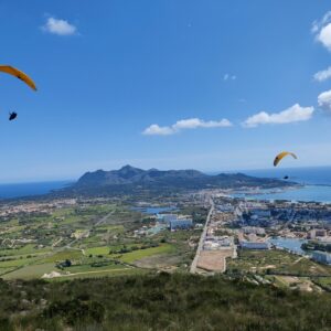
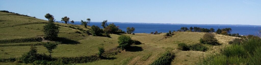
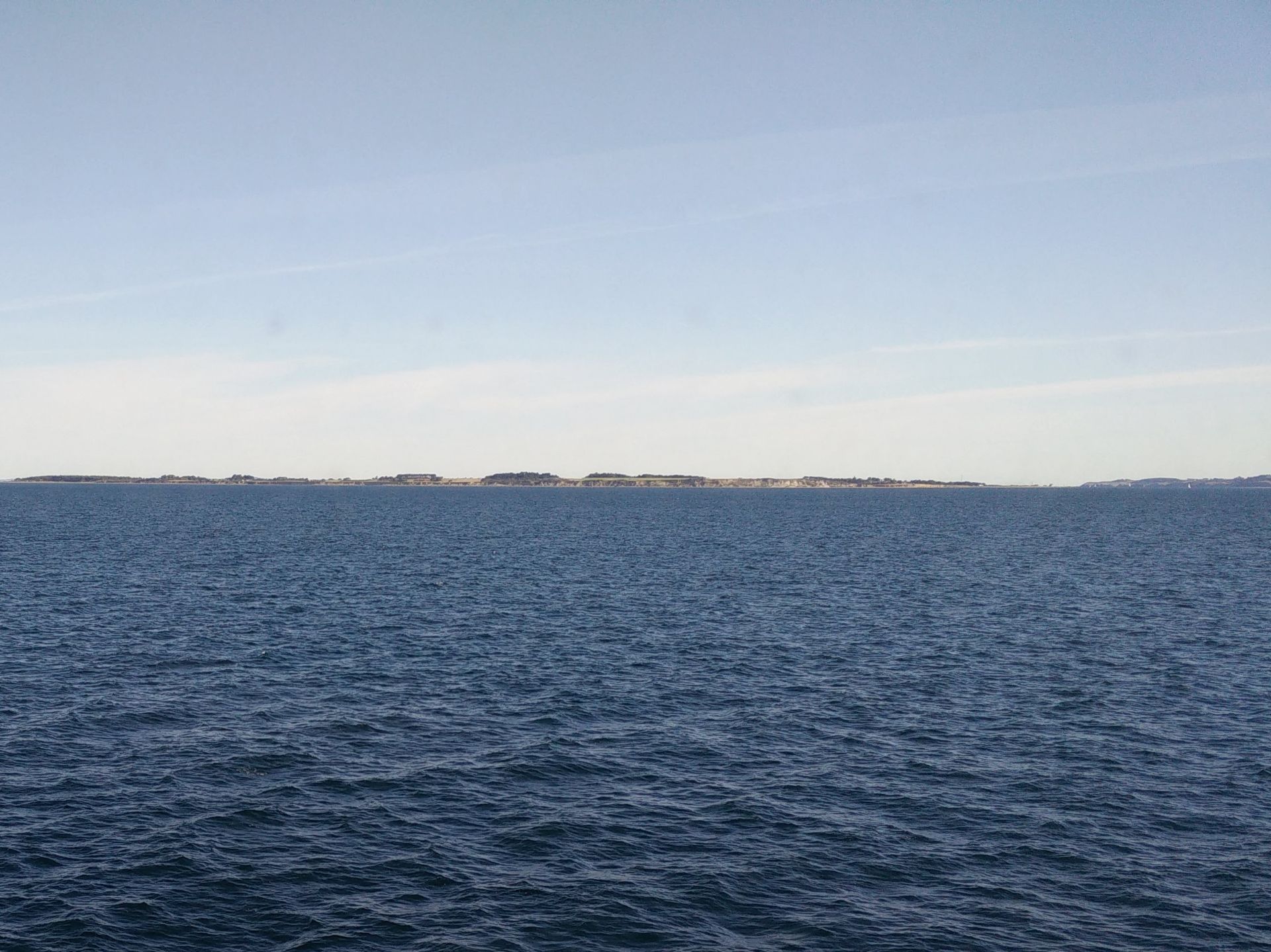
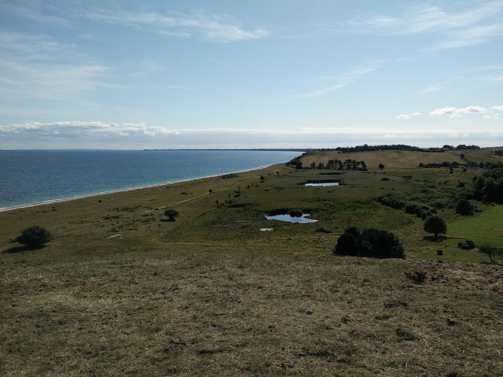
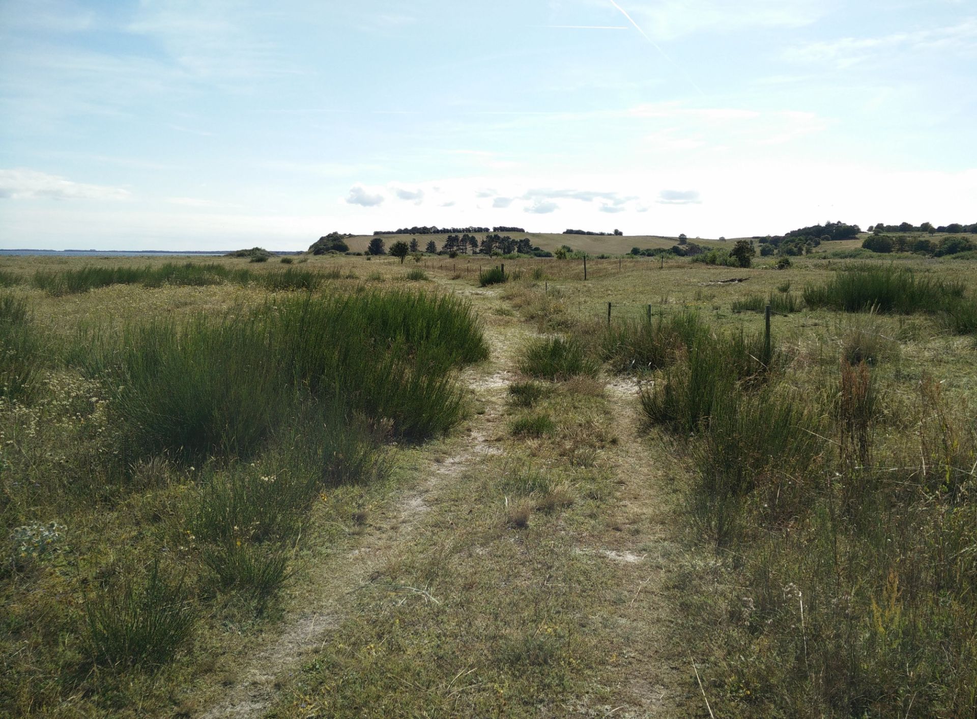
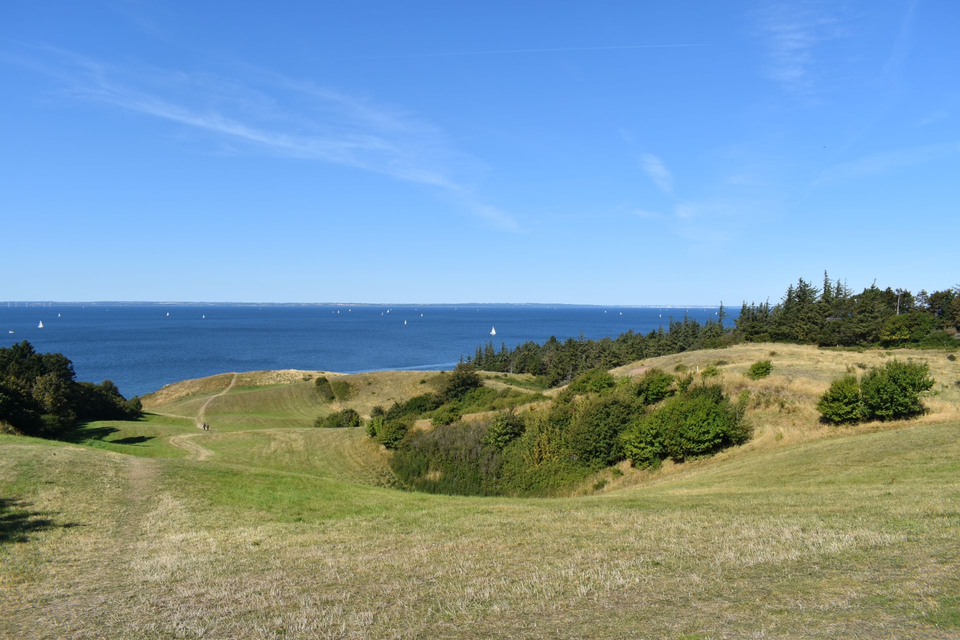
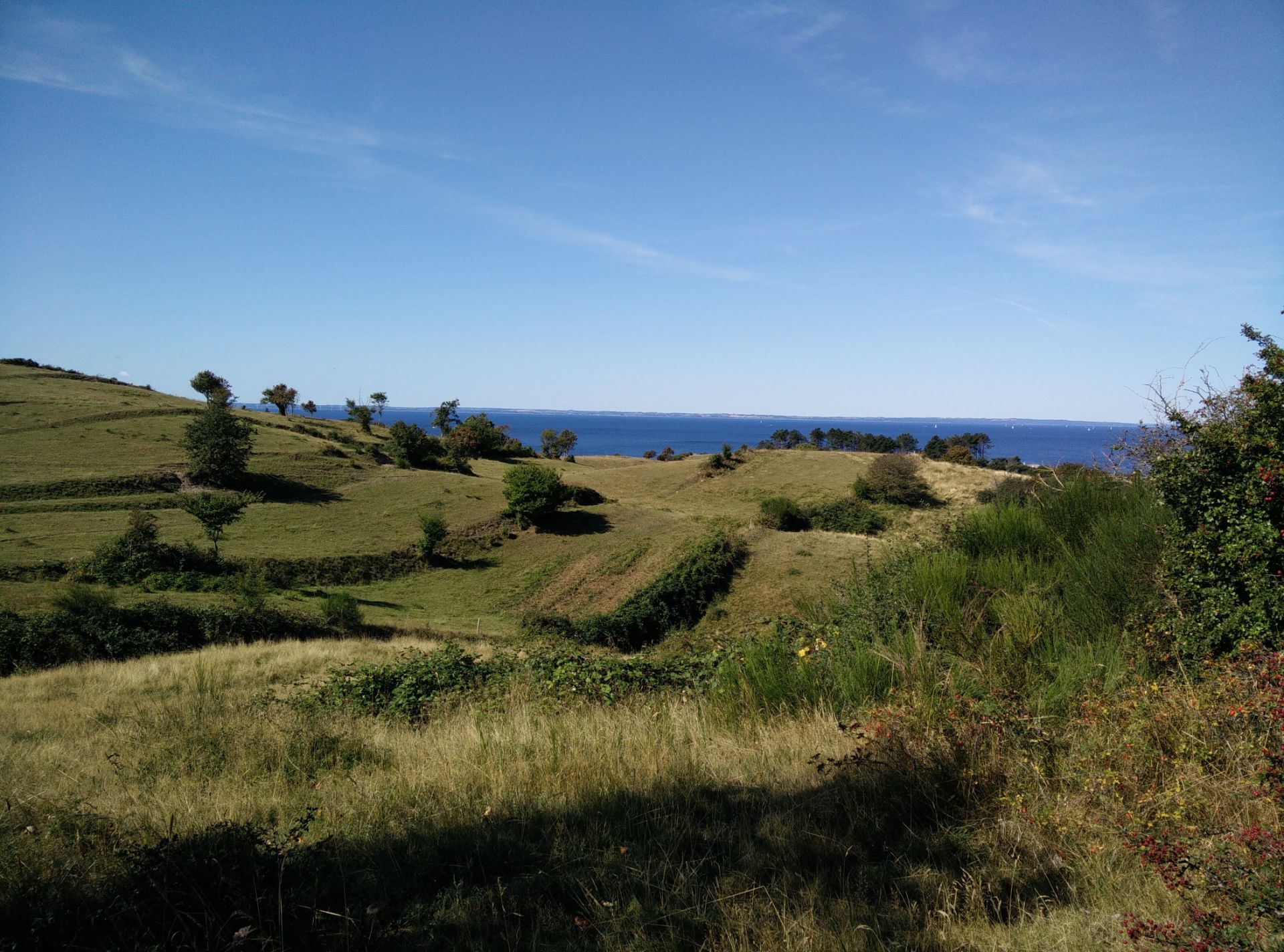
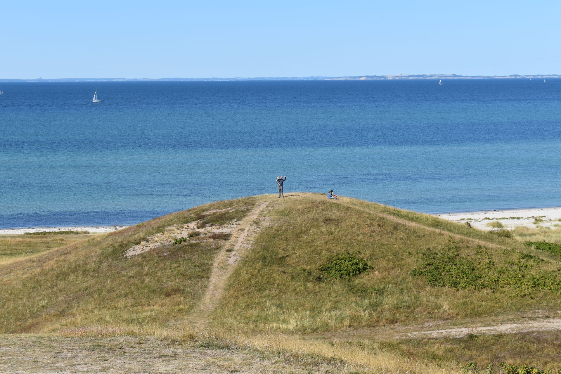
When you have walked 3 kilometres altogether, a narrow footpath (marked with a green triangle) will appear on your left and you should follow it, as it runs northeast towards the northern tip of Samsø, called Issehoved (meaning something like “bald head” due to its sparse trees). Once you reach the outer skirts of this area, you have different options for how you want to explore the top of the island. We chose to follow the path towards east and first head north towards the tip once close to the eastern shore, but there were many other lovely-looking paths to approach the top, so do explore! We made a stop on one of the hilltops near the tip, called Pelkeshøj, after having walked for 5.5 kilometres altogether. We then made our way down from the Issehoved plateau close to the eastern shore and decided to continue down south on a wide path running on a beach meadow. The wide path eventually narrows in and ends after a kilometre, so we walked onwards on the beach itself.
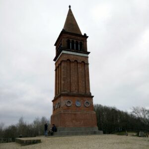
After walking another kilometre on the beach, we took the steep path up to the Klitgaard Camping place in the hopes of finding ice cream. As we made our way up to the camp reception walking west, we met the owner who told us it was the last day of the season and that the reception was already shut down. We then called the telebus office (three hours before our ferry departed from Sælvig), which asked us to proceed to the small belltower in Nordby to get picked up early as they otherwise wouldn’t be able to guarantee that we would get to the ferry in time with a later telebus. Thus we continued west till we reach the paved Issehoved road, and went south towards the Nordby village. After walking 10.5 kilometres altogether, we reached the belltower and bought an ice cream while we waited for the telebus to pick us up. We of course arrived early at the harbour, but there was both a cafe and a small beach where we could hang out.
Samsø Nordby Bakker Trail – approaching Samsø by ferry from Hou
Samsø Nordby Bakker Trail – starting point at lower parking lot at Ballebjerg Fyr
Samsø Nordby Bakker Trail – foot path towards north from the lighthouse
Samsø Nordby Bakker Trail – take the path to the left (I said!)
Samsø Nordby Bakker Trail – walking on Lystoftevej
Samsø Nordby Bakker Trail – view towards south from Isssehoved
Samsø Nordby Bakker Trail – wide path on beach meadow
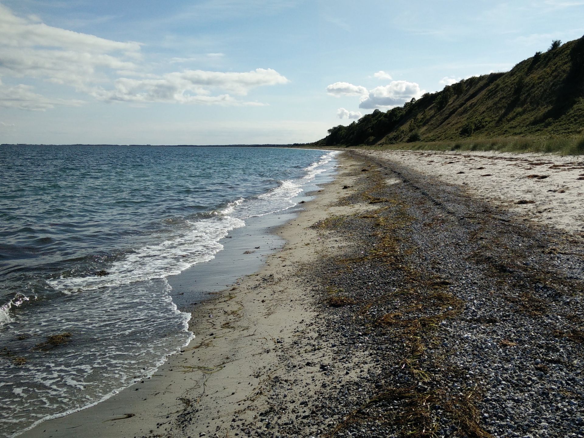
Samsø Nordby Bakker Trail – walking on the eastern shore
Samsø Nordby Bakker Trail – leaving the beach behind and going to Klitgaard Camping
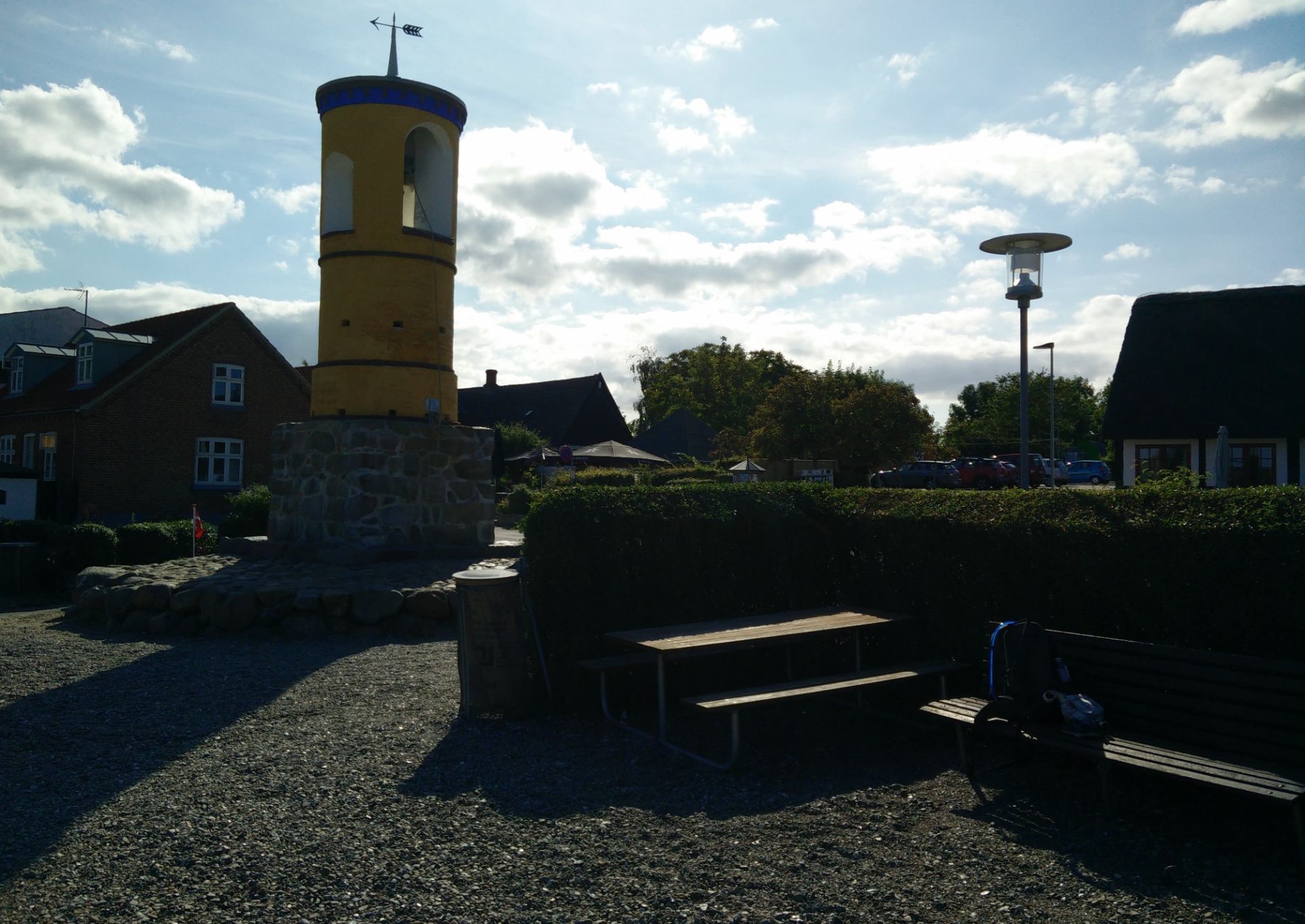
Samsø Nordby Bakker Trail – finishing at the belltower in Nordby
Equipment
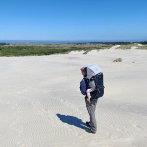
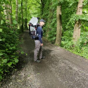
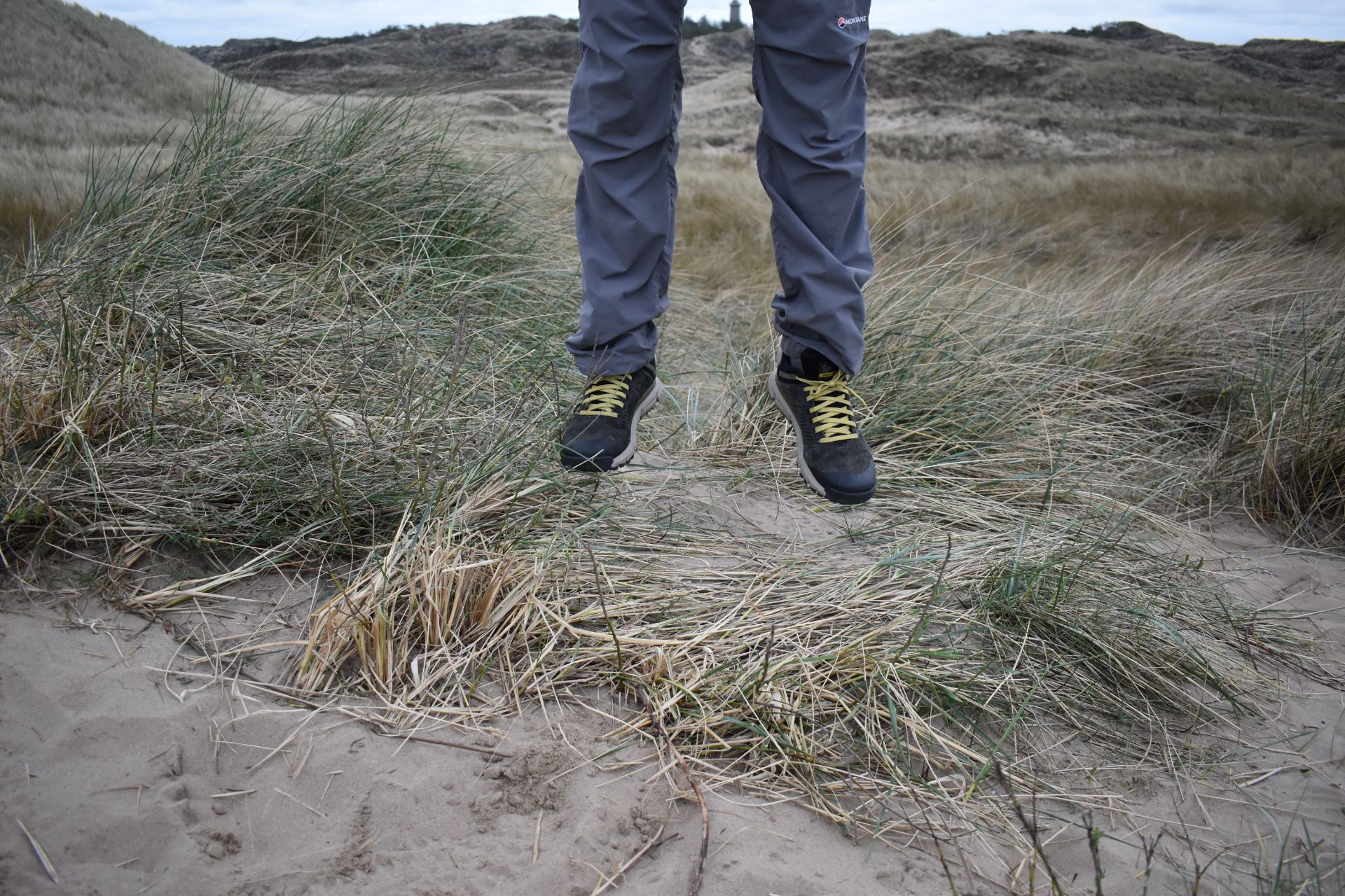
I was wearing my Patagonia Capilene Mid-weight base layer, Isobaa Merino boxer shorts, Montane TerraPack pants, Falke TK2 socks and Danner Trail 2650 GTX hiking shoes, while carrying our daughter in the Osprey Poco child carrier backpack.
Equipment under scrutiny
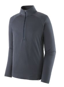
Patagonia Capilene Midweight Zip-Neck
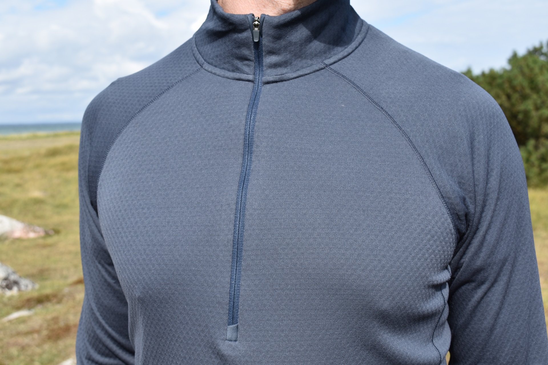
Patagonia Capilene Midweight Zip-Neck
The Patagonia Capilene Midweight Zip-Neck base layer was perfect for this hike. The base layer is made of a brushed polyester fabric and is thus very warm. I didn’t wear any extra layers over it, and it kept me at a pleasant temperature throughout the hike, although it was relatively chilly that day. The base layer is also quick drying, breathable and moisture-wicking. It’s treated with HeiQ Fresh odor control and is thus very odor-resistant.
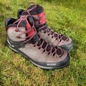
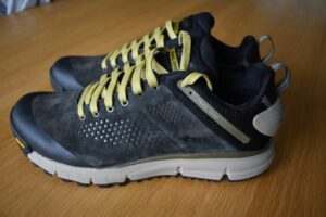
Danner Trail 2650 GTX Trekking Shoes
I was very satisfied with the Danner Trail 2650 GTX shoes because they are lightweight, breathable and provide very good traction. Since they have Gore-Tex lining, they also kept my feet dry even while walking on grass wet from morning dew. The only thing that bothers me about these shoes is that the PlyoGo midsole is a bit too soft. When I hike lightweight that’s not a problem, but when I’m carrying my daughter in the Poco pack the shoes do become a bit too bouncy. You can read the full review of the Danner Trail 2650 GTX shoes here.
Conclusion and photo gallery
The hiking trip around Nordby Bakker, from Ballebjerg Fyr up to Issehoved and down to Nordby is suitable for all, and only requires a pair of trekking shoes or lightweight hiking boots in terms of equipment. Navigation is pretty easy for the most part as you follow the route marked with green triangles from Ballebjerg Fyr to the Issehoved tip; from hereon it is your own choice where to finish. You can follow in our footsteps, or you can find an alternative on this map of the area, where hiking routes are marked with colored dots. The landscape is lovely, and the absence of busy roads and traffic makes you breathe easier. You can bring a car onto the island, but we recommend that you instead use the Samsø telebus as it is very affordable. It does, however, require that you can predict your pickup point at least two hours before getting there, in order to book in time.

Samsø Nordby Bakker Trail - light house at Ballebjerg
Samsø Nordby Bakker Trail - seaview close to the starting point
Samsø Nordby Bakker Trail - entering a livestock pasture through gate
Samsø Nordby Bakker Trail - view on the rolling hills of Nordby
Samsø Nordby Bakker Trail - one of the many rolling hills at Issehoved
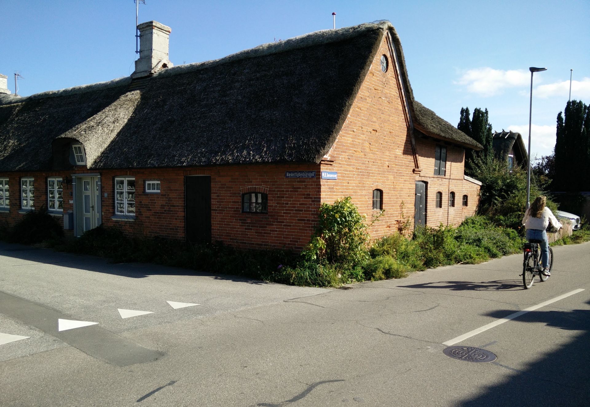
Samsø Nordby Bakker Trail - a typical village house and cyclist
If you have any questions about this hike, please drop me a line in the comments below.