
Bolling Lake Trail
About Bolling Lake Trail
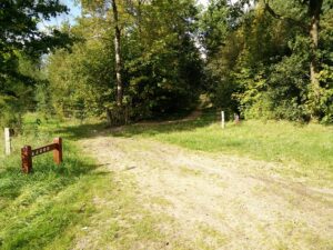
In comparison to other European countries Denmark does not have very much forest (only 12 % forest cover) – or nature in general, except its white sandy beaches which circumscribe most of the extensive coast line. There are, however, exceptions which make it possible to conduct some great hikes where you can experience different kinds of Danish nature, such as old oak forests, glossy lakes and windswept heaths. The Bolling Lake trail is one such hike – which we conducted on a sunny Saturday in the end of September.
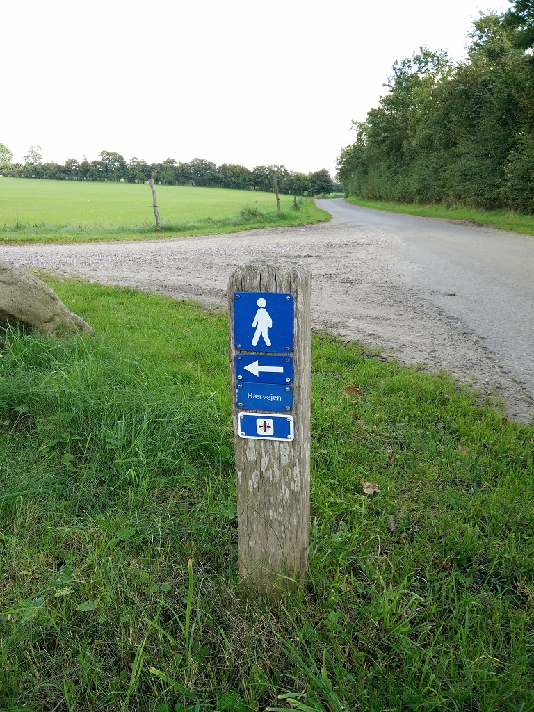
Besides offering some beautiful nature sights, the route also goes through an area rich in archaeological finds, such as two of the most famous Danish bog bodies called the Tollund man and Elling woman (both in Museum Silkeborg). Along the route you will be also able to find information boards in English and German which explain the archaeology and history of the area. The first 15 kilometers of the hike run along Denmark’s longest hiking trail Haervejen – the Ancient Road, which since ancient time has been used by travelers, merchants and warriors. According to legend, the Germanic tribes the Cimbri and the Teutones from the north of Jutland used this road to migrate south and into Central Europe where they would eventually clash with Roman armies. Along the way you will see signs marking the route.
Bolling Lake Trail Details
Physical Difficulty
Medium
Technical Difficulty
Easy
Duration
6 h
Distance
24.3 km
(15.1 mi.)
Ascent
135 m
(443 ft.)
Descent
162 m
(531 ft.)
Highest Point
103 m
(338 ft.)
Lowest Point
65 m
(213 ft.)
Date of the Hike Date when we did this hike ?
September 2017
Weather On the day when we did this hike ?
Partly cloudy
Temperature On the day when we did this hike ?
16° C
(61° F)
Wind On the day when we did this hike ?
20 km/h
Bolling Lake GPS Route and Trail Description
*Click on the chart to see the location on the map
GPX route helps you with the navigation on a hike. It can be used with a smartphone, handheld GPS device or a GPS watch.About GPX Route
Reaching the starting point
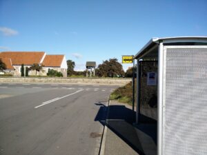
We used public transport to reach the starting point. The starting point can be reached by both bus and train (plus a bit of walking) while it is best to travel back with train (the hike ends at different location as it starts). You can find the best way of travel on any given date and time on the Danish travel planning website Rejseplanen. You can also see an estimated price. We were travelling from Aarhus and took bus 952X (an express bus) to Silkeborg where we then took the local bus 5 to the stop Funder Kirkeby, across from the church.
If you, unlike us, will use a car to reach the starting point for this hike you can skip the first two kilometers of walking and just park in the roadside on Moselundsvej just at the point where the trail turns north from the road and runs on a narrow forest path. You can reach this point by driving along expressway 15 between Aarhus and Ringkobing and taking the exit Funder Kirkeby. Here you will get straight onto Funder Kirkevej and follow it towards west for approximately 2.5 kilometers – halfway it turns into Moselundsvej. Park on the gravel stone patch.
Trail
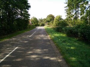
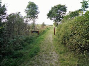
The attached GPX trail starts at the bus stop at Funder Kirkeby. From here, you should walk towards west on Moselundsvej (a tranquil local road) for a bit more than two kilometers before you reach a gravel stone patch on the right (where car drivers can park). Many narrow paths run north from here; they will eventually merge into one. You follow the narrow path for a little less than two kilometers until you come to an asphalt road (called Ellingvej). You turn right and follow it for 200 meters and then turn left on a broad gravel road which has signs towards the touristic farm Ellinglund. You follow the gravel road past the farm buildings and until it turns into a dirt track again.
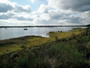
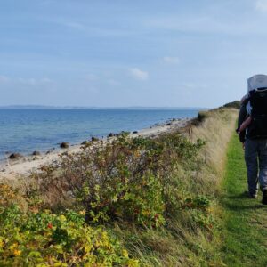
After a bit more than a kilometer of walking on this road, it ends in a t-crossing; you should turn left here and walk directly west in direction of the Bolling lake. You will have the lake right in front of you after yet another kilometer of walking. You then follow the northwestern curve of the lake; along the way you will find a few benches and tables where you can have a nice break while enjoying the view on the lake with its water birds as well as grazing sheep along the shore.
When you have reached the northern side of the lake, the trail will take you away from it and towards north for about a kilometer; you will briefly cross the paved Kragelundvej/Engesvangvej. The trail then goes through a beautifully hilly and forest-covered landscape, such as one of Denmark’s best-preserved oak scrub areas called Stenholt Krat. After walking three kilometers through the oak forest, you will come to a wide dirt track called Stenholtvej and follow it for one and a half kilometer till you cross over the paved Christianshojvej and continue on the dirt track through the forest.
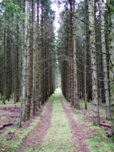
We decided to make a lunch break after having walked altogether 15.5 kilometers and afterwards to continue the hike towards Engesvang train station. If you want to hike for more than a day, you should continue north on Haervejen rather than following forest roads through more “commercial” coniferous forest towards south as we did. On the way towards south you cross both Stenholtvej and Christianshojvej again until you reach the paved Klosterlundvej, which you follow for approximately 800 meters. Then you turn right onto a narrow forest path which eventually bends and follows Skygge Aa (the Shadow creek). The path runs for almost two kilometers and underway turn into a low wooden bridge over a smaller bog near Bolling lake until it finally meets the paved Kragelundvej at the foot of the westernmost point of the lake.
After a quick break on a pier, we followed a dirt path along the southwestern side of the lake which shortly after turned south and became wider. This dirt track is called Mosevej and eventually becomes paved. At the end you turn left on Birkevej and the right on Ravnsvej. You then reach Lundsvej that you follow towards the Engesvang train station which is located at the address Jernbanegade 18, 7442 Engesvang. From here you can take the train back to Aarhus, Silkeborg or whichever city you came from.
Getting back to the starting point (for those who came by car)
For car drivers who have parked at Moselundsvej, there are two options: either you can walk from Engesvang along Fundervej (which turns into Moselundsvej) for approximately five kilometers or choose a more picturesque route by continuing on the dirt track more or less following the southeastern curve of Bolling lake until you reach a dirt side road of Fundervej. You then follow this road almost directly east until it splits into two; take the one going southeast and walk past the village called Kollerhus until you reach Moselundsvej – a few hundred meters from where you parked the car.
Equipment
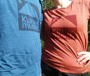
For this long all-day hike, we packed rain jackets and some extra warm mid-layers, but managed till evening wearing just a mid-layer over our baselayers from Klattermusen.
Equipment under scrutiny
Klattermusen Eir T-Shirt
We were both wearing an Eir t-shirt from Klattermusen as we knew that it would be an all-day hike where both comfort, warmth and odor control were priorities. The Eir t-shirt met and exceeded our expectations with its mix of 70% Merino wool and 30% silk. We have written page after page about the benefits of Merino wool (for example here) but the inclusion of silk in the Klattermusen Eir t-shirt takes it to another level as silk is lighter, more durable and dries faster. You can read the full review of the Klattermusen t-shirts here.
Note: The Klattermusen Eir is now called Eir Rain, but only differ by color and the logo on the chest. The material and construction are the same.
Conclusion and photo gallery
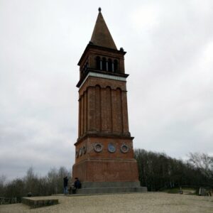
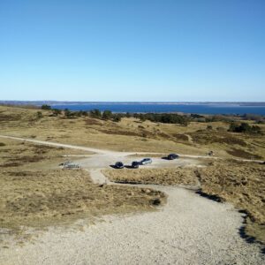
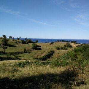
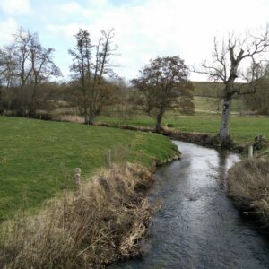
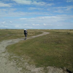
The Bolling Lake trail is a great daytrip for nature-hungering people living in Aarhus or other cities nearby. It will take you through some of the best Danish nature and is suitable for all who can walk far, but not necessarily make more demanding ascents. You can also start a longer hike towards north along the Ancient Road (Haervejen).
If you have any questions about this hike, please drop us a line in the comments below.






Hello, can you cycle any or all of this route?
Thank you!
Hi Shannon, you can definitely cycle parts of this route with a normal bike – for all of it, you would need a mountain bike. In any case, you might want to check out Tour 11 in this brochure about cycling routes in the area: https://www.silkeborg.com/sites/default/files/asp/silkeborg/Kort/Kort_PDF/cykelbrochureuk2015.pdf. You will see that much of the delineated route is similar to our hiking trail – only all of it is “approved” for bikers 😉 I hope you can use it and that you will have a great time!