About the Matajur Hiking Trail
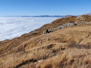
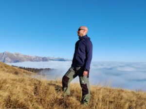
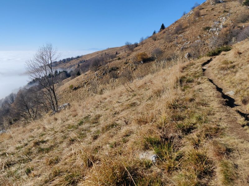
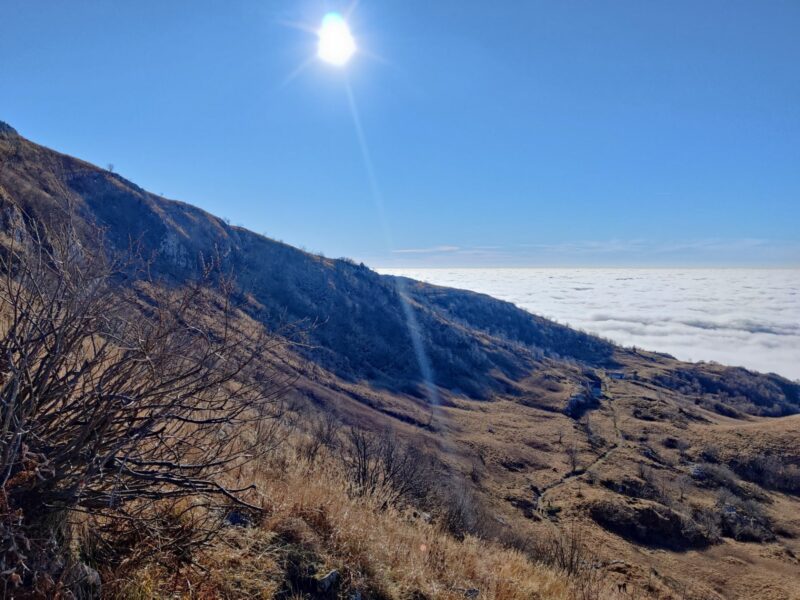
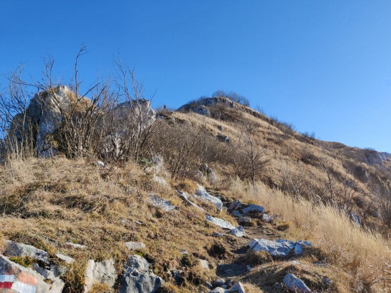
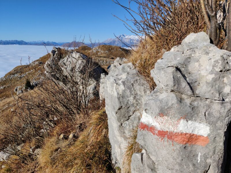
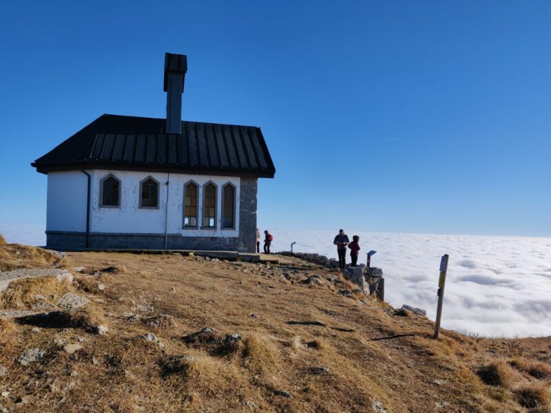
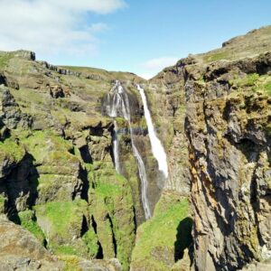
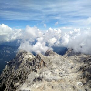
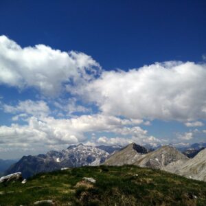
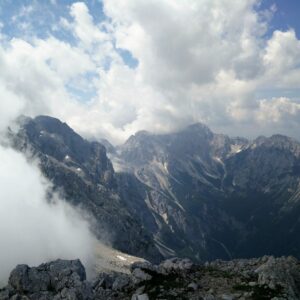
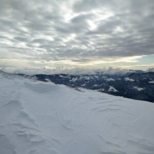
During a holiday in Slovenia in late November, we decided to take advantage of the good weather and went for a hiking trip to the Matajur mountain, which is located on the border between Italy and Slovenia. The starting point is, however, in Italy, at the mountain hut called Rifugio Pelizzo. Matajur is a quite popular destination for hikers from both countries all year round, and many do speedy ascents around sunrise or sunset to observe the sun painting the sky in bright colors. We did a circle tour around and up to the peak to enjoy the view on the surrounding peaks from all angles. As you can see on the photos, the weather that day had caused temperature inversion, which in effect meant that the cold foggy air was trapped in the valleys while it was sunny at the higher altitudes. This phenomenon gives the impression of a very high altitude, but really the highest point of this trail is at 1645 m (5400 feet)!
Matajur Hiking Trail Details
Physical Difficulty
Easy
Technical Difficulty
Easy
Duration
2 h 30 min
Distance
5.38 km
(3.34 mi.)
Ascent
320 m
(1050 ft.)
Descent
328 m
(1076 ft.)
Highest Point
1639 m
(5377 ft.)
Lowest Point
1314 m
(4311 ft.)
Date of the Hike Date when we did this hike ?
November 2021
Weather On the day when we did this hike ?
Sunny
Temperature On the day when we did this hike ?
8° C
(46° F)
Wind On the day when we did this hike ?
5 km/h
Matajur GPS Route and Trail Description
*Click on the chart to see the location on the map
GPX route helps you with the navigation on a hike. It can be used with a smartphone, handheld GPS device or a GPS watch.About GPX Route
Reaching the starting point
We drove by car from our vacation home in Slovenia to the starting point in Italy, which is just on the other side of the boarder between the two countries. In general, it is most convenient to come by car, but it is not impossible to come to Matajur by public transport. You can plan your trip through the travel planner for the Friuli-Venezia Giulia region (in Italian, but Google Translate is available) – the destination should be the village Montemaggiore di Savogna. You come to the village by taking bus 312 from the small town Cividale del Friuli (connected to the larger cities Udine and Gorizia by train and bus respectively) to the village bus stop called Montemaggiore di Savogna at the foot of Matajur. From there you follow the foot path up to the top of the mountain described here. This path shares several stretches with our trail, but you can of course combine the two trails to your liking.
Trail
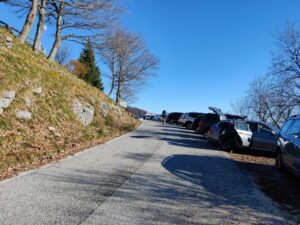
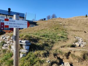
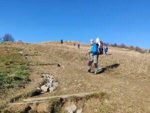
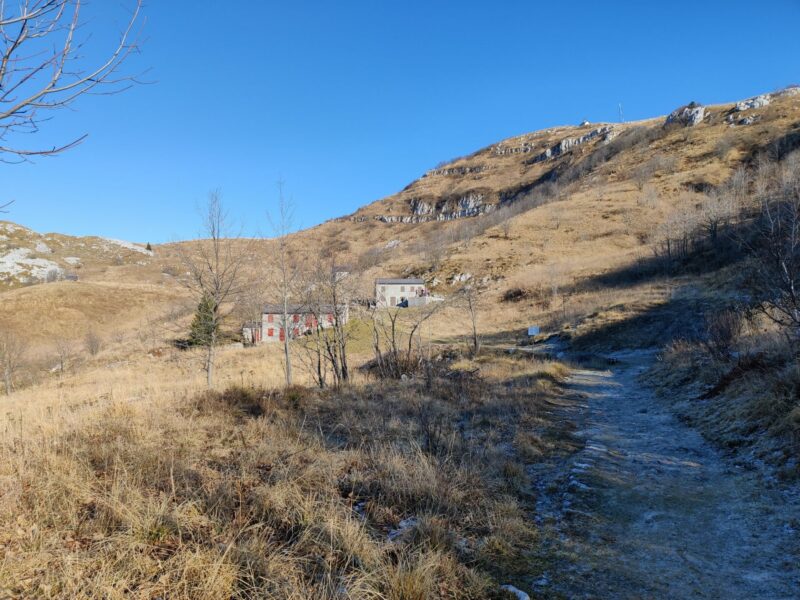
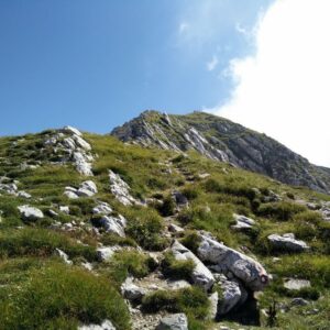
From our parking place on the side of the road (the parking lot was completely full), we started walking up the road to the mountain hut Rifugio Pelizzo. Usually you can enjoy a meal or refreshments there, but perhaps due to covid it was closed that day. After passing the mountain hut, the trail turns towards northwest and splits into two after about 200 meters. The left fork leads westward around the top, while the right fork leads more directly and steeply to the top. This seems to be the path that most people take, but we took the path on the left and followed it towards west while ascending slowly. After having walked 1.5 kilometers from the mountain hut, the path turns relatively abruptly towards north and splits into two. The terrain is mostly grassy, with occasional low shrubbery and trees, although you do see exposed cliff a few places.
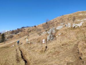
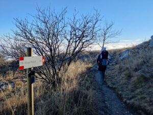
As the (slightly broken) direction sign here will tell you, the right one will lead you up to the mountain hut Dom na Matajur (altitude 1545 m) from which you can reach the peak staying on the southern side of the mountain. You can also enjoy a meal in the mountain hut. We took the left path, however, to make the hike longer and approach the peak from the northern side. The left path goes directly north for about 500 meters and then curves towards northeast, still ascending slowly. We also passed by some buildings, which are allegedly used for shepherds. Around here you can see the church on the top of the mountain. After having walked 3 kilometers altogether, you are at the most northern point of this trail and the path now takes an abrupt turn towards southeast, and starts to ascend rapidly. You ascend for about 100 meters over the next 400 meters, and a few places you have to scramble a bit.
When we reached the top, it was pretty packed with other hikers – although we didn’t meet that many on our way up. There is a monument and a small church called Chiesetta di Cristo Redentore. Our daughter MK had fallen asleep, and as the groups of hikers were pretty noisy, we merely admired the view and snapped a few photos before making our way down on the southwestern side of the mountain. We did make a stop on the way down to have a sandwich, while enjoying the view in peace. Otherwise, it is very straightforward to get down as the path runs southwest all the time, and there are signposts every now and then leading you the right way down to the mountain hut Rifugio Pelizzo.
Equipment
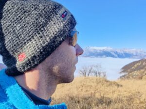
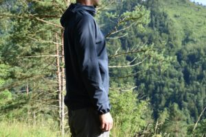
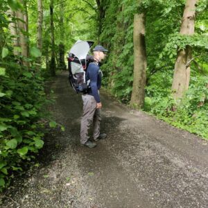
The weather forecast stated that it would be foggy and chilly at the lower altitudes, but also that the sun would break through later on, so I planned my outfit accordingly with various layers. I wore my Patagonia CapileneMidweight Zip base layer and Mountain Hardwear Monkey Man Fleece jacket on top, while adding the Houdini Daybreak softshell jacket as it got chillier. On the bottom I wore my CimAlp Laos 4 pants over a pair of Merino boxers from Isobaa, as well as Falke wool-silk socks and my trusty Salewa Mountain Trainer Mid boots. On my head I had the Sherpa Adventure Gear Renzing hat and my CimAlp Helium glasses, while I carried our daughter MK in the Osprey Poco child carrier backpack.
Equipment under scrutiny
Patagonia Capilene Midweight Zip Base Layer
Previously I have mostly worn Merino wool base layers, but I must say that I’m very happy with the Patagonia Midweight Capilene zip-neck. It should be noted that it is meant for sports activities in cold weather, and on this cold day I was also particularly grateful for the high collar and the soft napped fabric, where the warm air from the skin is efficiently trapped inside each “diamond. In addition, it is breathable, moisture-wicking, odor-resistant and quick-drying. Read more in the review of the Patagonia Midweight Capilene Zip base layer here.
Houdini Daybreaker Softshell Jacket
I first put on the Houdini Daybreak softshell jacket as we approached the top when it got colder due to the wind coming through the fleece jacket I wore. The softshell fabric is thin and stretchy for great freedom of movement but doesn’t offer much insulation. However, it was great for blocking the wind more efficiently and at the same time very breathable to wear, so my body temperature was kept at a comfortable level. Read more about the Houdini Daybreak softshell jacket in the review here.
Conclusion and photo gallery
Although the parking lot was completely full when we got there (a bit after noon), we saw very few people on our way up to the top. It was first when we reached the top that we had real company, and it seems that most people simply take the short and steep trail from the mountain hut up and down instead of taking the longer way around as we did. I can, however, sincerely recommend doing the round trip as we did to get a complete look on the surrounding peaks. We were not able to see any valleys due to the curious weather phenomenon that day (temperature inversion), but it was a unique experience which made you feel like you were on top of the world, way above the clouds. The Matajur trail is suitable for everyone in terms of physical preparedness and technical skills, but you need proper hiking boots as a bare minimum, and there are few exposed places where a fear of heights might be problematic.
If you have any questions about this hike, please drop me a line in the comments below.
